Google+ Mars Travel: February 2012

Mars Photo of the Day - Feb 29 2012

Today's Image of Mars shows clouds in The Red Planet's North Polar Region obscuring the view of Mars Odyssey's THEMIS. Some of the lower portion of this image is entirely shrouded by clouds, so much so that THEMIS can't even make out the surface.

Clouds on Mars are generally 10-15km above the surface and primarily made up ofsublimated carbon dioxide ice. Occasionally the clouds will be made up of tiny water particles. That doesn't mean it rains on Mars though! 

Mars is so cold that it couldn't rain, but scientists speculate that it does snow! Scientists have only seen snow fall in the upper atmosphere a few times and have no evidence that it ever reaches the surface, but who knows! Maybe it only happens every so often, like a leap year every four years! (See how I worked that in there? Don't worry, you can hold your applause!)

Clicking on this image will take you to the high resolution image from THEMIS. [See Universe Today's caption for a subimage of this one]


Mars Photo of the Day - Feb 28 2012

Today's Image of Mars shows a possible Mars Science Laboratory (MSL) landing site in Gale Crater, as imaged by HiRISE. Even though the rover launched in November 2011, the MSL team still isn't positive where within Gale Crater it will land. Even if they plan for a specific spot they can't guarantee the exact landing location.

You can see that this location has many interesting features, including Dunes, sub-craters, and evidence of past water on Mars.

MSL Curiosity is set to land in Gale Crater sometime between August 6 and August 20th 2012. To learn more about the mission of NASA's most advanced Mars rover and the reason Gale Crater was chosen as the destination, just click on the image below.


Mars Photo of the Day - Feb 27 2012

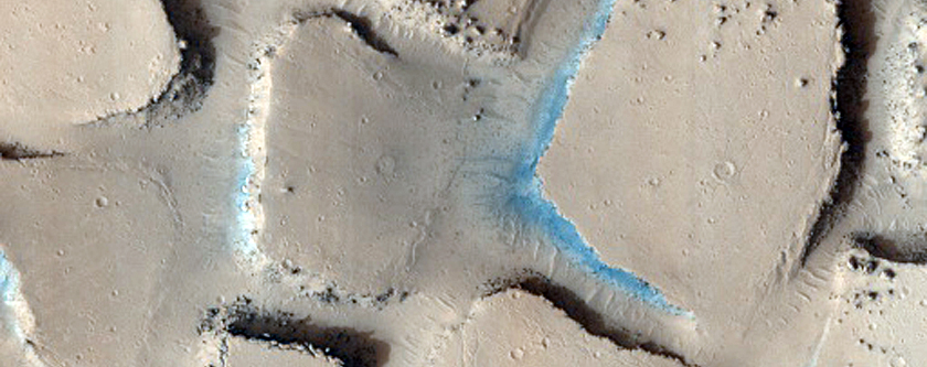
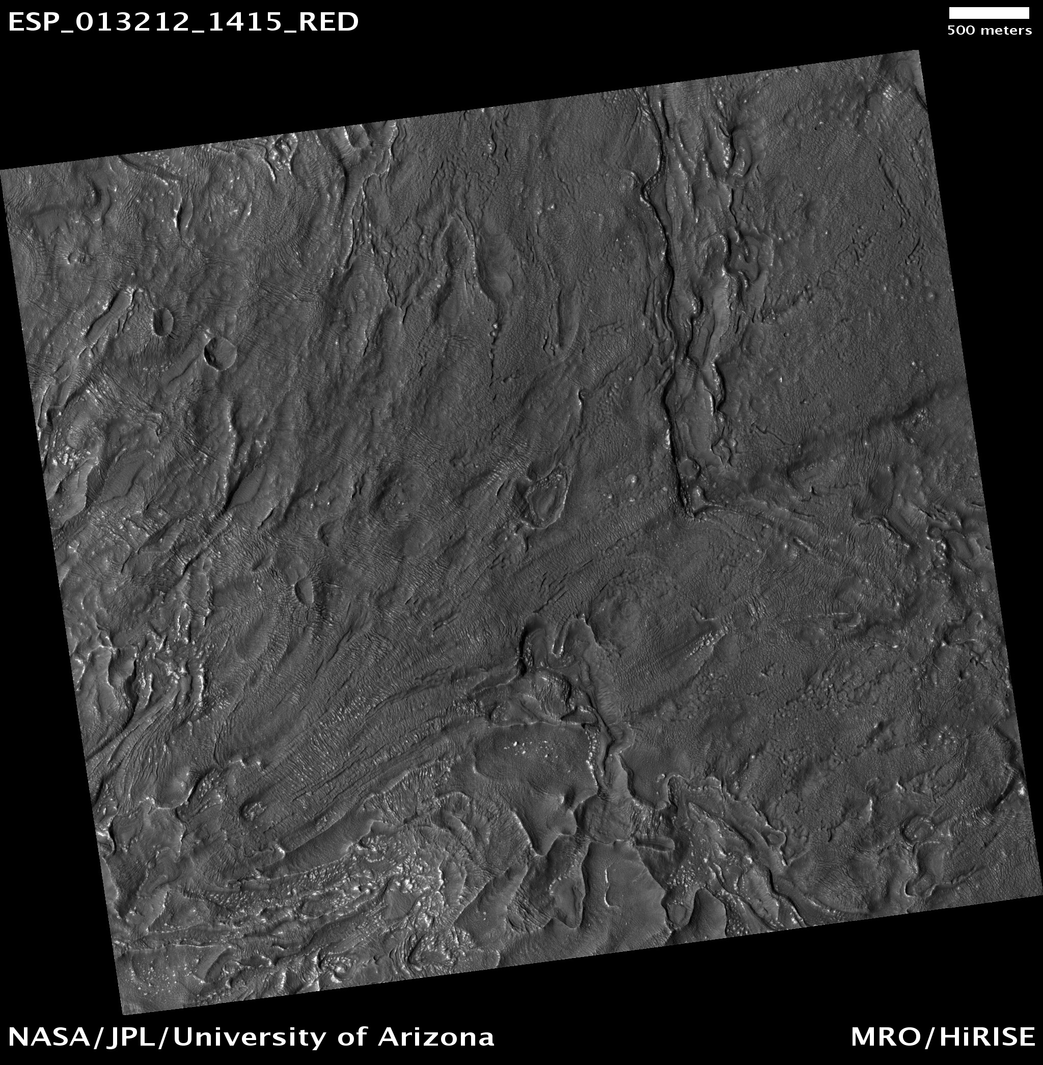
Today's Image of Mars comes from HiRISE and shows part of Cerberus Palus that is broken up and blocky. What you see was likely once a flat surface that broke apart; just under the surface was probably a freezing mudflow. The pieces of that flat surface began flowing apart on top of slushy material. When the slushy material eventually froze it would have expanded and forced its way up between broken, drifting pieces, pushing them even farther apart.

Cerberus Palus is 480km across and located in the Elysium quadrangle of Mars. Clicking on this image will take you to a similar image showcased by Mars Travel, since the original HiRISE image does not currently have a caption.


Mars Photo of the Day - Feb 26 2012

Today's Image of Mars comes from Mars Odyssey Orbiter's THEMIS and shows Mangala Valles, which was created when Mangala Fossae released a torrent of ground water, carving out the 900km valley we see below.

There is substantial evidence that Mars once had, and may still have underground ice and water. In some underground reservoirs the water cannot break through the rock encasing it, so it has built up over billions of years. When something, like an asteroid impact, ruptures the surface it releases the water onto the surface creating an outflow channel, or valley, like the one below.

Clicking on this image will take you to the original high resolution image from THEMIS. [See their article on Mangala Valles]

Mars Photo of the Day - Feb 25 2012

Today's Image of Mars was taken by HiRISE to determine if there was a crater present on the dune. As of 2011 scientists have yet to find a dune with a crater on Mars. This leads them to believe that dunes are recently developed features, since older features generally have craters.

This particular dune was imaged in the southern hemisphere during late fall, so frost has begun to accumulate.  To better see this you should check out the high resolution version of this image. Clicking on this image will take you to the caption from HiRISE.


Mars Photo of the Day - Feb 24 2012

Today's Image of Mars shows scallops (pits open on one side) and boulders in Utopia Planitia. The 3D high resolution anaglyph shows polygon features that develop as a result of temperature changes that cause ice contraction and expansion.

There are also numerous boulders that measure approximately 1 meter in diameter. Scientists know they are boulders and not ice because ice cannot remain stable on the Martian surface.

It is speculated that at least ten meters of ice has sublimated from some places in this image, which has created the pits and other features we see in this image. But how did the ice get there in the first place? Mars once had a wetter, warmer environment, but over billions of years Mars became much colder and the water that once covered the surface froze or retreated underground.

Clicking on this image will take you to the original captioned image from HiRISE.


Mars Photo of the Day - Feb 23 2012

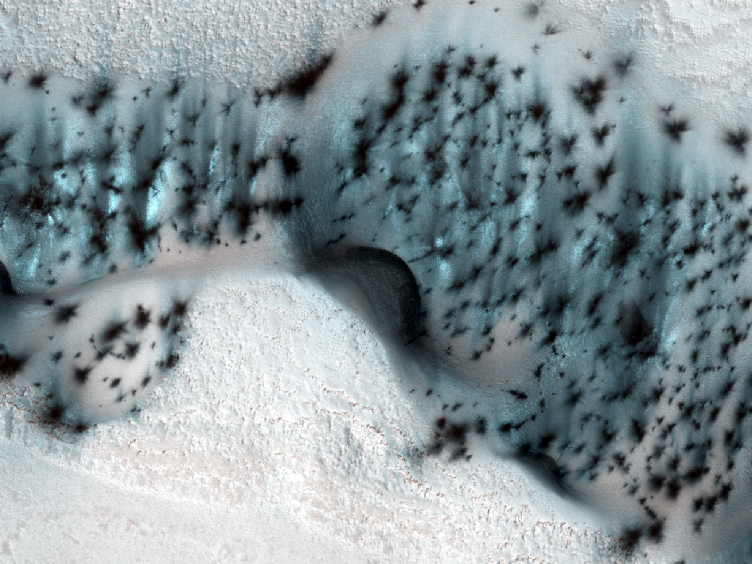
Today's Image of Mars shows some defrosting barchan dunes in the North Polar Region of Mars. Dunes like these are useful in determining the direction of the wind because the side facing the wind becomes more eroded, resulting in a sheer, less rounded face. The wind also creates horn-like features oriented in the oriented in the direction the wind predominantly blows.

This image was taken by HIRISE in the northern spring season on Mars, when the carbon dioxide ice has begun to sublimate.The dunes look speckled because the ice has sublimated in patches, revealing the dark soil underneath. The ice on the floor between the dunes has not begun sublimating because the sand underneath is not as dark as the dunes and so it takes longer to heat up.

Clicking on this image will take you to the original captioned image from HiRISE!


Mars Photo of the Day - Feb 22 2012

Today's Image of Mars was taken by HiRISE and shows part of an impact crater in Terra Cimmeria that is completely cast in shadow. Terra Cimmeria is located in the southern highland region of Mars. 

Much of the crater floor is cast in deep shadow because the sun was only 11 degrees over the horizon. The HiRISE cameras aboard the Mars Reconnaissance Orbiter are sensitive enough that they can see within most shadows. The image below shows an area completely shrouded in shadow, but HiRISE can still see features indicative of ice flow, a common finding in the southern highlands.

Clicking on this image will take you to the original image from HiRISE. [See their caption]


8 Ways You Can Support the Space Industry

The average person can significantly help increase support of the space industry. Here's how:

  • Talk about space on your social media accounts. (This is the easiest way.) Share links to cool space images and articles and encourage you friends and followers to do the same! [Learn how easily you can use social media to inspire people to support the space industry.] This will expose your friends and followers to the wonders and benefits of space exploration - sometimes that's all it takes!
  • Let me know if one of the celebrities you follow says/does something in support of the space industry. I will then add them to the list of Mars Stars (celebrities actively showing support of the space industry). It's important to recognize and show our appreciation for these celebrities because they increase publicity and exposure for the space industry! Celebrity support could be the catalyst that gets a lot of new people interested in space again. [Why celebrity support of the space industry is so important]
  • Spreading the word about the list is huge. The more people that know about it the more incentive there will be for celebrities to support the space industry and get on the list. Everybody knows someone that knows someone who can help to publicize the need to increase celebrity support of the space industry. And even if you don't you can impress on other people how important it is and start a chain that will eventually get the message to someone with a connection! 
  • Write a small piece for your local paper about why the space industry is so important! Because local papers rarely feature space articles you will be reaching an entirely different demographic than most space articles!
  • Send letters to politicians telling them that you care about the space industry and outlining why they should too! If more people do this politicians will see that their constituents truly care about the space industry and they should fight for it.
  • Participate in public forums and ask questions about space - If a celebrity or organization is taking public questions then ask some about space! A lot of times different celebrities and organizations take time to interact with their fans and followers over Twitter, Reddit, or some other public forum. Encouraging them to show support for the space industry could get them talking about it!
  • Hold a space-related event at your house and invite people over! If there is a big launch coming up you could just invite some friends over to watch it on TV. During an eclipse you could have a barbeque or outdoor party. It's a reason to get all your friends together and have a good time while showing them how cool space is. I know I'll probably do throw a party when the Mars Science Laboratory touches down in August!
  • If you have kids, teach them to love space! If you show them how beneficial and amazing space exploration is you could inspire them to study the sciences and go into a space-related field later in life!
Doing any or all of these things will expose people to space that otherwise might not have been. Oftentimes people aren't interested in space because they haven't seen how amazing it is. The more people interested in space, the more people will support the space industry. YOU can help make space a part of people's lives again! If we do that, we'll see space put back at the top of the agenda again!

Mars Photo of the Day - Feb 21 2012

Today's Image of Mars comes from HIRISE and shows numerous secondary craters in Arabia Terra. Secondary craters are formed from the ejecta of an asteroid impact. When an asteroid hits the surface it launches chunks of rock into the air; sometimes the force of the impact sends them soaring for miles. 

Scientists can usually determine the source of secondary craters by finding larger craters created around the same time. Examining secondary craters can help scientists determine how large the asteroid that initially made impact was and in some cases can provide insights as to the density and speed of the asteroid. 

More often, secondary craters and ejecta blankets help to determine the age of the source crater because smaller craters will become covered and eroded faster than the larger one. The more visible the ejecta and secondary craters the more recent the initial impact.

Clicking on this image will take you to all the other HiRISE images of Mars showcased by Mars Travel because this one hasn't been captioned by the HiRISE team yet. 


Mars Photo of the Day - Feb 20 2012

Today's Image of Mars comes from HiRISE and shows a potential landing site for a future missions to Mars in Holden Crater. Holden Crater is a 140km wide crater located in the southern highlands. It is believed that Uzboi Valles fed into Holden Crater and created a massive lake.

Currently, potential landing sites require at least a 12 mile wide circle of smooth, flat terrain so that the spacecraft can lend safely even within a margin of error.

Mars Reconnaissance Orbiter determined that Holden Crater contains numerous sediments and clays that could only have formed in the presence of water. The crater also has some of the best exposed lake deposits scientists have ever seen, making it a prime candidate for future missions to Mars.

Holden Crater made it into the top four candidate landing sites for Mars Science Laboratory Curiosity, but was ultimately beaten out by Gale Crater. We can be sure that Holden Crater will remain among the top candidates for future missions to Mars!

Clicking on this image will take you to other potential future landing sites showcased by Mars Travel!


Mars Photo of the Day - Feb 19 2012

Today's Image of Mars comes from HiRISE and shows a possible future landing site in Antoniadi Crater, a 394km long crater on Syrtis Major Planum. It is evidenced that Antoniadi Crater once had rivers and lakes, as evidenced by the inverted features, like riverbeds.

Inverted features are formed when the sediment deposited by water is harder than the surrounding terrain. Over billions of years erosion wore down the surrounding terrain, but because the lake and riverbeds were more resistant to erosion they were reduced much less, thus creating inverted features.

The fact that there was once flowing water in Antoniadi Crater makes it a prime target for future missions to Mars. This particular patch shows a particular candidate landing site in the crater. It was chosen because it has been observed to have relatively flat terrain and is close to features of interest.

Clicking on this image will take you to other showcased images of potential landing sites for future missions to Mars because HiRISE has not yet provided a caption for this image. [EDIT 24 June 2012: HiRISE has added a caption.]


Mars Photo of the Day - Feb 18 2012

Today's Image of Mars shows Echus Chasma, which was once one of the largest sources of water on Mars, spanning 100km long and 10km wide and cutting into Lunae Planum north of Valles Marineris. Echus Chasma was the source of water that carved Kasei Valles, a 1780 km (1100 mi) long set of flood carved channels on Mars.

Clicking on this image will take you to the original high resolution from the ESA's Mars Express High Resolution Stereo Camera (HRSC). [See their extensive information on the image and others like it]


Mars Photo of the Day - Feb 17 2012

Today's Image of Mars shows colorful springtime layered deposits in the North Polar Region of Mars, as taken by HiRISE. Scientists study layered deposits because it lets them determine the past environment on Mars by studying the chemical makeup of the different layers. The oldest layers are buried beneath billions of years of sediment and dust deposits. 

When exposed, these layers tell us a lot about the past Martian climate including what the environment on Mars was when the layer was deposited, the length of time Mars experienced a certain climate, and the approximate time of environmental change. In short, studying layered deposits will help scientists determine when water was abundant on Mars and approximately when and how long it took for the planet to reach its current barren state. If we know when and how long it took for the water to disappear we can use that information to discover where the water on Mars went. 

Clicking on the image below will take you to the original high resolution image from HiRISE. [See their caption for the image]


Mars Photo of the Day - Feb 16 2012

Today's Image of Mars comes from HiRISE and shows an uplifted jumble of ancient terrain in a crater located in the volcanic plains between Argyre Basin and Valles Marineris. Large craters often have central mounds that result from structural uplift and reveal material buried deep under the surface over the course of millions and sometimes billions of years.

Examining these central mounds allows scientists to determine the past environment on Mars by examining the composition of the layered deposits making up the mound. This is exactly what Mars Science Laboratory, Curiosity will be doing when it lands in Gale Crater this August.

Clicking on this image will take you to the original high resolution image from HiRISE. [See their caption for the image]


Mars Photo of the Day - Feb 15 2012

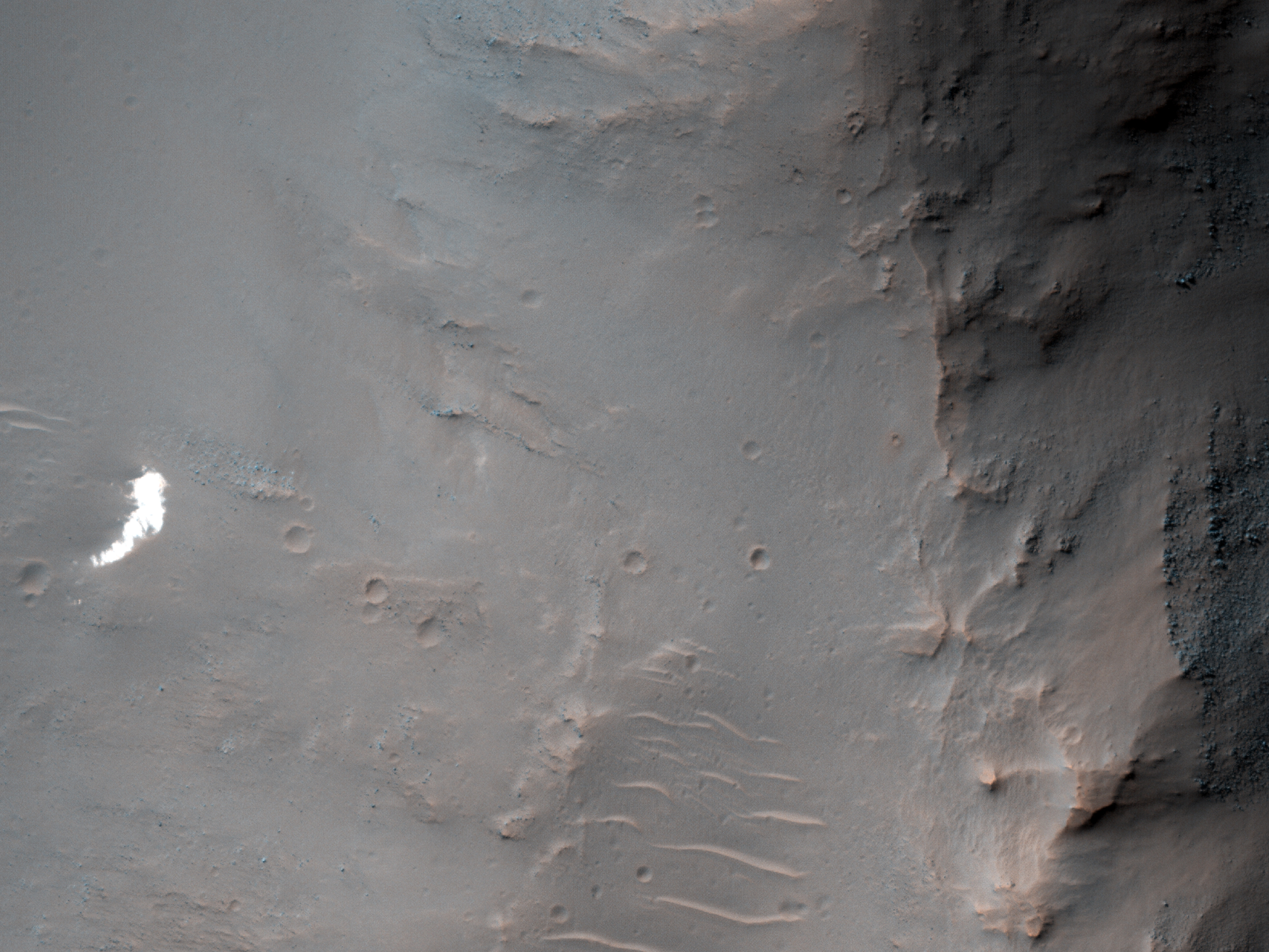
Today's Image of Mars is the latest HiRISE image taken in the search for the lost Soviet lander, Mars 6, which was expected to impact the Martian surface at 09:11:05 UT on 12 March 1974. 

Unfortunately contact with Mars 6 was lost just as it should have impacted the surface, however, data transmitted prior to communication failure indicated that the parachute successfully deployed. This gives scientists hope that they can find the lost lander by locating the bright white parachute, which has been the easiest thing to identify most of the past successful landing sites.

That's why this image was taken; the Mars Reconnaissance Orbiter's Context Camera (CTX) team saw a small white patch (right middle) and suggested the HiRISE team take a closer look. Upon examination by HiRISE, the team discovered that the white patch was just some relatively bright terrain. And so the search for all the lost Mars Landers will continue!

Clicking on this image will take you to the original high resolution image from HiRISE [See their caption for the image]


People Throw Rocks at Things That Shine - Like NASA's Mars Program

People throw rocks at things that shine - Taylor Swift

One of the most successful and inspiring NASA programs has been the Mars program. The United States is the only country to have successfully navigated a rover on the Martian surface, and most of our missions have long outlasted their expiration date. It could even be said that NASA's Mars program has been the shining jewel of the space agency, making numerous discoveries and expanding our knowledge of The Red Planet beyond any expectations. Unfortunately it seems that Taylor Swift's lyric "People throw rocks at things that shine" is true even for NASA and the space industry.

In order to maintain flagship programs like the Space Launch System (SLS) and James Webb Space Telescope (JWST), The White House's NASA Budget request for 2013 has disproportionately cut 20% of the planetary science funding. The 2013 budget allocates only $1.2 billion a year, down from $1.5 billion, with more cuts expected to come. This severely limits NASA's ability to send missions that would further study different bodies in our solar system, including Mars.

ExoMars Trace Gas Orbiter Concept
Credit: ESA

Because of these cuts to the planetary science funding, NASA has been forced to back out of the joint ExoMars mission to Mars with the European Space Agency. The mission was set to launch the ExoMars Trace Gas Orbiter in 2016 and a rover in 2018, but now the entire mission is in jeopardy. 

Fortunately, Russia may be willing to take a more central role in the mission, thus giving hope that it will be able to continue and collect valuable information about the Martian atmosphere and surface.


It's depressing to hear that one of NASA's forefront programs is losing a disproportionate amount of funds, but there is still hope for the future of Mars travel and exploration! [The following comes from a previous article called SpaceX is Winning the Race to Mars.]

---

The emergence of private space corporations with ambitions beyond low-Earth orbit gives hope to humanity because they can focus solely on space exploration and development and are not limited by bureaucratic procedures like government agencies are.

The future of space exploration is in the hands of ambitious companies like SpaceX whose sole focus is space development and exploration. Hopefully SpaceX can achieve their stated goal of setting a man on Mars in the next 10-20 years, thus starting a new era of private, competitively priced space travel and exploration. The developments in space made by private companies, not governments, will usher in a new era of human exploration and expansion throughout the known universe.
---

Hopefully SpaceX will still continue working with NASA on the proposed Red Dragon Mission to Mars. Either way the future is sure to be full of more discoveries on Mars by the machines we already have in place and the Mars Science Laboratory (MSL), which is set to land in Gale Crater in August 2012! 


Who knows, maybe MSL will discover something that reinvigorates the nation's love of space and increases funding for NASA's planetary science division!

Mars Photo of the Day - Feb 14 2012

Today's Image of Mars is suited especially for Valentines Day! It shows a heart-shaped pit formed by a collapse within a graben. The pit imaged is about 2.3km at its widest point.

This image was taken by the Mars Global Surveyor's Mars Orbiter Camera in 1999, but it still can be used to show how much you heart your space loving Valentine!

Clicking on this image will take you to the original captioned image from the Mars Global Surveyor team!


Mars Photo of the Day - Feb 13 2012

Today's Image of Mars shows the Phoenix lander 22 hours after it landed. In this image we can see three main pieces of hardware from Phoenix, the parachute, the heat shield, and the lander itself.


  • The parachute at the bottom of the image is easy to identify because of its bright white color. Attached to the parachute is the backshell of the spacecraft. If you click on the image and zoom in on the parachute you can even make out the stripes!
  • The dark splotches found in the middle on the right appear to be the result of disturbances made by the heat shield impacting and bouncing off the surface. The heat shield fell from a height of 13km so it would have made a sizable impact and bounced after touch down. 
  • The lander itself is located at the top of this image. When you enlarge this image (by clicking on it) you even see the lander's solar arrays on either side 


All three of these sites have dark halos around them, most likely because each impact disturbed a thin dust coating that overlies much of the Martian surface.

Clicking on this image will take you to the original high resolution image from HiRISE. [See the original HiRISE caption]

Mars Photo of the Day - Feb 12 2012

Today's Image of Mars was taken by HiRISE shows the Phoenix lander almost two years after it landed on Mars. Only the backshell and lander are visible because the other parts, including the parachute, have been covered by dust. The lander's solar panels have collapsed, which makes it look unusual.

Scientists image the inactive Mars rovers to get a better idea about the Martian environment and how long it takes to cover different features. Unlike the Moon, which remains relatively static, Mars has heavy winds and sandstorms which are constantly altering the terrain. Footsteps on Mars would not last more than a few weeks on Mars.

Clicking on this image will take you to the original high resolution image from HiRISE. [See their caption]


Mars Photo of the Day - Feb 11 2012

Today's Images of Mars come from the Mars Odyssey Orbiter and show seven different pits on Mars that scientists believe lead to underground caverns. These pits were found over 700km along the side of Arsia Mons, the second largest mountain on Mars, after Olympus Mons.

Cavern entrances like these ones are called skylights. They have no raised rim or ejecta, which differentiates them from impact craters. Can you see the seventh one?

In recent years scientists have suggested that underground caverns like these are likely to be much more suitable to life than the surface, which many believe is presently hostile to life as we know it.

Caverns like the ones below are likely destinations for future manned and unmanned missions to Mars! Some scientists speculate that colonies could be set up inside of caverns because they act as a natural shield to space radiation and the harsh Martian environment.

There are two skylights located in the image labeled "E", making the total number of skylights imaged below seven.

The entrances imaged below are only some of many potential cavern entrances discovered and imaged on Mars. Clicking the images will take you to other Mars Travel posts about skylights. These images were compiled by National Geographic. [See their original short caption for the images]

Images courtesy NASA/JPL/LPI


Mars Photo of the Day - Feb 10 2012

Today's Image of Mars shows the lander, backshell, parachute, and heatshield of Viking 1 as taken by HiRISE. Scientists can tell that the location of the lander by comparing the topography to the images taken by the lander while it was still operational. The locations labeled in the image below are estimations based on examination of HiRISE images and images from the Viking 1 Lander itself.

By comparing the orbital images with those from the lander, scientists will get a better idea of the size of rocks visible to us from orbit. Knowing this information will help to plan landing sites for future missions to Mars and ensure our spacecraft land on relatively flat terrain.

Click on this image and a new window will open with the high resolution version. I recommend you do this if you actually want to see the lander, backshell, parachute, and heatshield.


Mars Photo of the Day - Feb 9 2012

Today's Image of Mars comes from HiRISE and shows a 700 x 1100m cinder cone on the southern flank of Pavonis Mons, a large shield volcano. The cinder cone has some layers of hard rock, but most of it is made up of relatively soft material. Cinder cones are thought to be composed of pieces of lava hitting the ground during a small eruption. 

Generally, eruptions would spew large amounts of lava, which would cool and produce a loose pile of lava rocks. It seems that in this case some pulses of the eruption let the lava land without cooling first. This allowed the lava to meld together and create the hard layers that are visible today. 

I recommend checking this HiRISE photo out in high resolution, which you can access by clicking on the image below. [See the original HiRISE caption for this image]


Mars Photo of the Day - Feb 8 2012

Today's Image of Mars is the first ever full color HiRISE image taken of the Spirit lander. While the lander has been imaged by HiRISE before, each of those images was in black and white and didn't really show how much the lander stood out against the Martian surface.

You can see the Spirit lander on the west side of Bonnerville Crater  bottom left of the image. You'll notice it is still brighter than the surrounding terrain, but it has acquired a 'Martian hue' because of the dust cover.

Clicking on this image will take you to the high resolution image from HiRISE, where you can better see the Spirit lander. [See the caption from HiRISE]


Mars Photo of the Day - Feb 7 2012

Today's Image of Mars is of a candidate landing site in Horowitz Crater, as taken by the HiRISE camera aboard the Mars Reconnaissance Orbiter. In August 2011 NASA released evidence that water was currently flowing in Horowitz Crater, making it a prime destination for for future manned and unmanned missions to Mars.

Scientists discovered features on Mars called Recurring Slope Linae (RSL). Repeated imaging has shown that these features appear and gradually grow during the warm season on Mars, only to fade during the cold season. It is thought that the best explanation for these recurring features is the existence of briny water just below the surface, but that is unconfirmed as of yet.

A mission to Horowitz Crater would help scientists to definitively determine whether there is liquid water just below the surface. If the evidence is substantiated then this will have huge implications for future missions to Mars that could use the water as a source of fuel, or to help sustain manned missions. 

Clicking on this image will take you to the original article by Mars Travel in which the August findings were discussed. [See the original uncaptioned HiRISE image]


Mars Photo of the Day - Feb 6 2012

Todays Image of Mars shows a portion of a well preserved 6 to 7km crater imaged by HiRISE. A well preserved crater is one that has a sharp crater rim, deep essentially unfilled cavity, and small impact features preserved. A well preserved crater will also have few, if any superimposing features like subsequent impact craters or lava flows. 

Scientists are interested in well preserved craters because they're oftentimes relatively recent and reveal active processes, like gully formation, boulder faults, and slope streaks. Being able to see these ongoing processes helps scientists to better understand the environment on Mars and allows them to better predict what will happen when an asteroid impacts. 

These predictions may be extremely helpful in the future if one of our rovers is sent to explore a recent impact crater. Knowing what to expect could ensure that future missions go smoothly and aren't disrupted  by an unforeseen change to the structure of a crater, etc. 

Not only can studying active craters teach scientists about active processes on Mars, but they can sometimes reveal ice or water that was just below the surface. Discoveries like this can completely revolutionize our understanding of the past Martian climate and help scientists plan future manned missions to Mars, where water will be critical.

Clicking on this image will take you to the original, captioned image from HiRISE.


Mars Photo of the Day - Feb 5 2012

Today's Image of Mars is of Udzha Crater, as taken by the Mars Odyssey Orbiter's THEMIS. Udzha Crater is 45km in diameter, but has been almost entirely covered by layers of ice and dust, so much so that only the highest part of the crater rim rise above the polar deposits and hint at its circular form. 

Unfortunately there wasn't much information on Udzha Crater, so I created a Wikipedia page with the information I gathered. It is the first of many Wikipedia pages that Mars Travel will contribute to!

Clicking on this image will take you to the original high resolution image from THEMIS. 


Mars Photo of the Day - Feb 4 2012

Today's Image of Mars shows what is very likely the entrance to an underground cavern on Mars. The cavern is located Northeast of Arsia Mons and can be seen at the top of this image.

Cavern entrances like this one are called skylights. They have no raised rim or ejecta, which differentiates them from impact craters. This skylight is so special because even the extremely sensitive HiRISE camera cannot detect what lies within the shadow if the skylight. In fact, HiRISE cannot see inside the shadows of this pit at all; it can't even see the walls of the pit.

Scientists speculate that this skylight must have overhanging or completely vertical walls, which brings them to the conclusion that this is a collapse pit into an underground cavern. This pit must be very deep for sunlight not to illuminate the bottom.

In recent years it has been suggested that underground caverns like this one are probably much more suitable to life than the surface, which has been irradiated and is hostile to life as we know it. Caverns like the one below are likely to be prime targets for future manned and unmanned missions to Mars! Some scientists even speculate that colonies could be set up inside of caverns because they act as a natural shield to space radiation and the harsh Martian environment.

Clicking on this image will take you to the original, captioned image from HiRISE.


Mars Photo of the Day - Feb 3 2012

Today's Image of Mars is from HiRISE and shows fretted terrain near Reull Vallis, a valley on Mars that appears to have been carved by water. Reull Vallis flows into Hellas Basin, which lies to the Northwest. 

Scientists have detected features in Reull Vallis that indicate glacial activity similar to that found on Earth. They even speculate that Reull Vallis actually contains large amounts of water-ice just below the surface, which is exciting because it means future explorers (man or machine) that land in Reull Vallis may be able to use the landscape as a source of water (or fuel)!

Clicking on this image will take you to the high resolution version hosted by Wikipedia.


Mars Photo of the Day - Feb 2 2012

Today's Image of Mars was taken on Jan 14 2004 and was one of the first returned from the European Space Agency's Mars Express orbiter. The image shows a stretch of Valles Marineris, considered to be the Grand Canyon of Mars. 

The raised surfaces seen in this image are likely inverted riverbeds formed when the sediment deposited by rivers is harder than the surrounding terrain. Over billions of years erosion wore down the surrounding terrain, but because the riverbeds were more resistant to erosion they were reduced much less, thus creating the inverted features you see in the image below.

Clicking on this image will take you to the original high resolution image from Mars Express. [See the ESA article on this image]


Mars Photo of the Day - Feb 1 2012

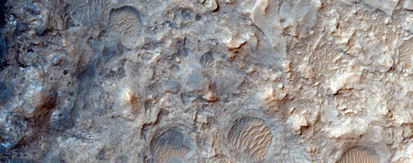
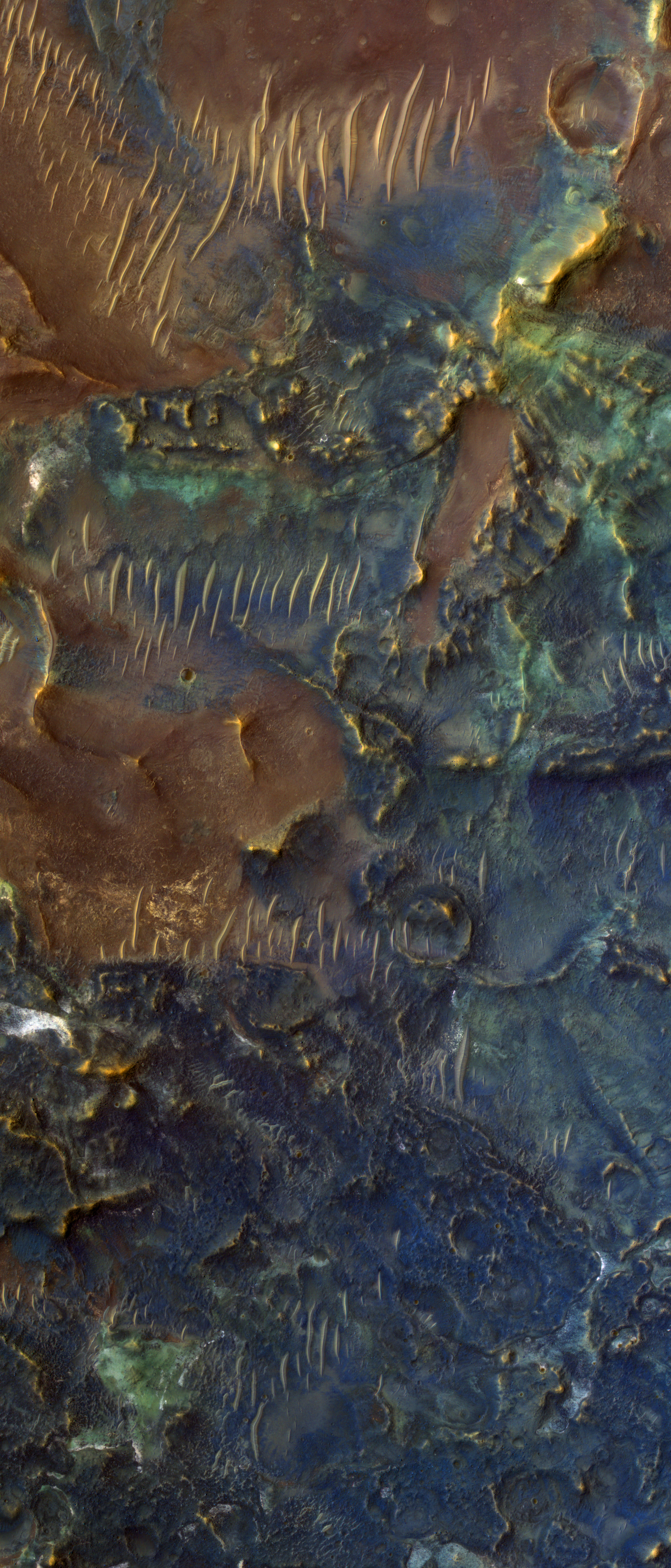
Today's Image of Mars shows the floor of Toro Crater, a 42km diameter crater in Syrtis Major, which exhibits phenomenal colors due to the different minerals within the crater.

The north-south oriented features are dunes crafted by the wind; they are much younger than the bedrock on which they lie. Scientists can determine the direction and strength of the wind in the crater by analyzing dune orientation and size.

Scientists speculate that Toro Crater experienced hydrothermal alteration, which is caused by the interaction of materials with water and heat. The blue and green colors are unaltered minerals like pyroxene and olivine, whereas the warmer colors are indicative of alteration in clays and other materials.

Toro Crater is of great interest to scientists because hydrothermal interactions are indicative of an environment hospitable to life. Because of this we may find that Toro Crater becomes the destination for a future mission to Mars!

Clicking on this image will take you to the original subimage from HiRISE. [See their captioned image]