Google+ Mars Travel: glaciers on mars
Showing posts with label glaciers on mars. Show all posts

Mars Photo of the Day - 25 Jul 2012

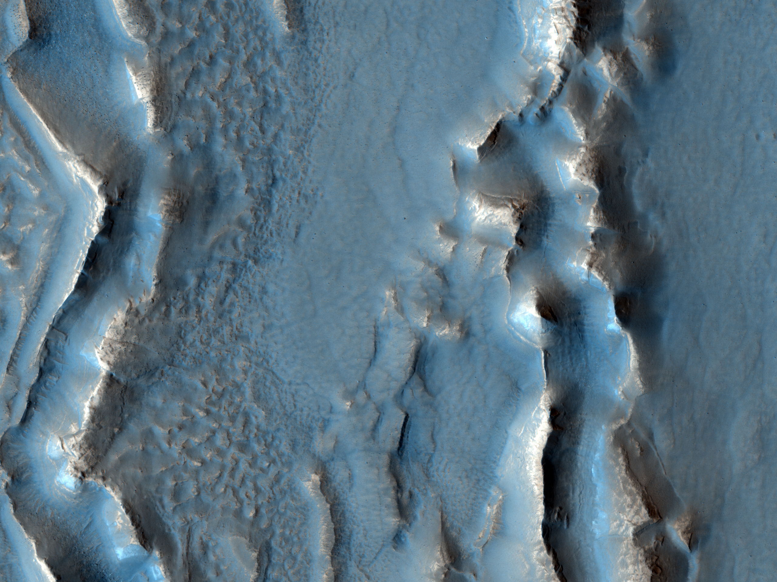
Today's image of Mars shows banded features indicative of past (and maybe present) glacial flow in Hellas Basin on Mars. The banded features we see in this HIRISE image are similar to those left on Earth where glaciers once flowed. 

Being able to understand these banded features on Mars will help scientists create a better image of what Mars looked like in the past. Being able to map out the Martian past will let scientists determine at which rate the icy glaciers moved. Understanding the Martian past will help us deal with the present and prepare for future exploration. 

Just as understanding Earth's past has helped us figure out why different continents have similar features, studying the geologic history of Mars will give us insight into the different features on Mars.

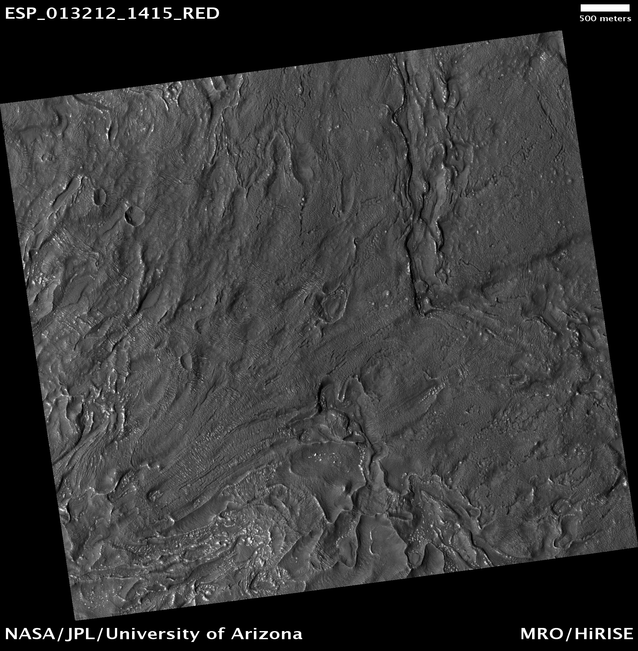
Clicking on this image will take you to the original high resolution image from HiRISE. [See the HiRISE caption]

Mars Photo of the Day - 25 June 2012

Today's Image of Mars shows what happened in Deuteronilus Mensae when ice quickly disappeared from the surface. The image below is of glaciers that once contained an abundance of ice, but when the climate changed, much of the ice on and near the surface disappeared into the atmosphere.

When the ice sublimated into the atmosphere it caused overlying terrain to collapse in on itself, creating the sharp, irregular features you see below. If we can determine when the features changed then that could tell us exactly when the climate on Mars went through a transition. If we know when the transition occurred we can make better guesses as to the reason behind the climate change. Perhaps an enormous asteroid collided with the planet, or maybe the rotational axis changed; there are unlimited possibilities, but knowing the time frame can help us narrow them down.

Clicking on this image will take you to the original high resolution HiRISE image.
[See their caption for the image]

Mars Photo of the Day - Feb 3 2012

Today's Image of Mars is from HiRISE and shows fretted terrain near Reull Vallis, a valley on Mars that appears to have been carved by water. Reull Vallis flows into Hellas Basin, which lies to the Northwest. 

Scientists have detected features in Reull Vallis that indicate glacial activity similar to that found on Earth. They even speculate that Reull Vallis actually contains large amounts of water-ice just below the surface, which is exciting because it means future explorers (man or machine) that land in Reull Vallis may be able to use the landscape as a source of water (or fuel)!

Clicking on this image will take you to the high resolution version hosted by Wikipedia.


Mars Photo of the Day - Jan 10 2012

Today's Image of Mars shows a large depression in Deuteronilus Mensae, a region characterized by glacial features. The depression that is central to this image measures 2000m deep and 110km in diameter from north to south. This depression is eye-catching because it contains darker material than the surrounding terrain. 

In this image you can also see valleys cut deep into the Martian surface. Scientists believe these valleys may have formed from intense melting of water ice, which then quickly froze and flowed down the slopes of the depression, much like a glacier. This was common on Mars when rising magma or impacts resulted in massive amounts of ground water erupting from underground reservoirs, only to be frozen in the frigid Martian temperatures.

At least one glacier in Deuteronilus Mensae formed as recently as 10,000-100,000 years ago. Mars Reconnaissance Orbiter's radar have discovered that part of Deuteronilus Mensae currently contain ice, making the region a possible landing site for any future manned mission to mars.

Clicking on this image will take you to the original high-resolution image from Mars Express. [See the ESA's article on Deuteronilus Mensae]


Mars Photo of the Day - Jan 1 2012

Today's Image of Mars shows the Phlegra Montes mountain range in a region that radar probing has indicated is full of subsurface water ice. It is thought that a manned mission to Mars could use this as water.

Phlegra Montes is a mountain range on Mars that extends from the northeastern Elysium volcanic province to the northern lowlands. Unlike the mountains in the Tharsis region of Mars, these ones are likely not volcanic in origin, but rather were formed by ancient tectonic forces that pushed different areas of the surface together.

Examination of this region shows that almost every mountain is surrounded by by a 'lobate debris apron,' or curved features that generally surround mountains and plateaus at these altitudes. (ESA) These lobate features appear to have moved down the mountain slopes over time, similar to terrestial glacial features. This conclusion has been affirmed by radar from the Mars Reconnaissance Orbiter. The radar suggests that water ice could be as close as 20m to the surface.

Scientists speculate that these mid latitude glaciers formed a few hundred million years ago when the polar axis of Mars was much different than it was today and the climactic conditions were much different.

This image was taken by the Mars Express High Resolution Stereo Camera (HRSC). Clicking on this image will take you to the hi-res version of this image. [See the original Phlegra Montes article from the ESA]