Google+ Mars Travel: September 2012

Mars Photo of the Day - 30 Sep 2012

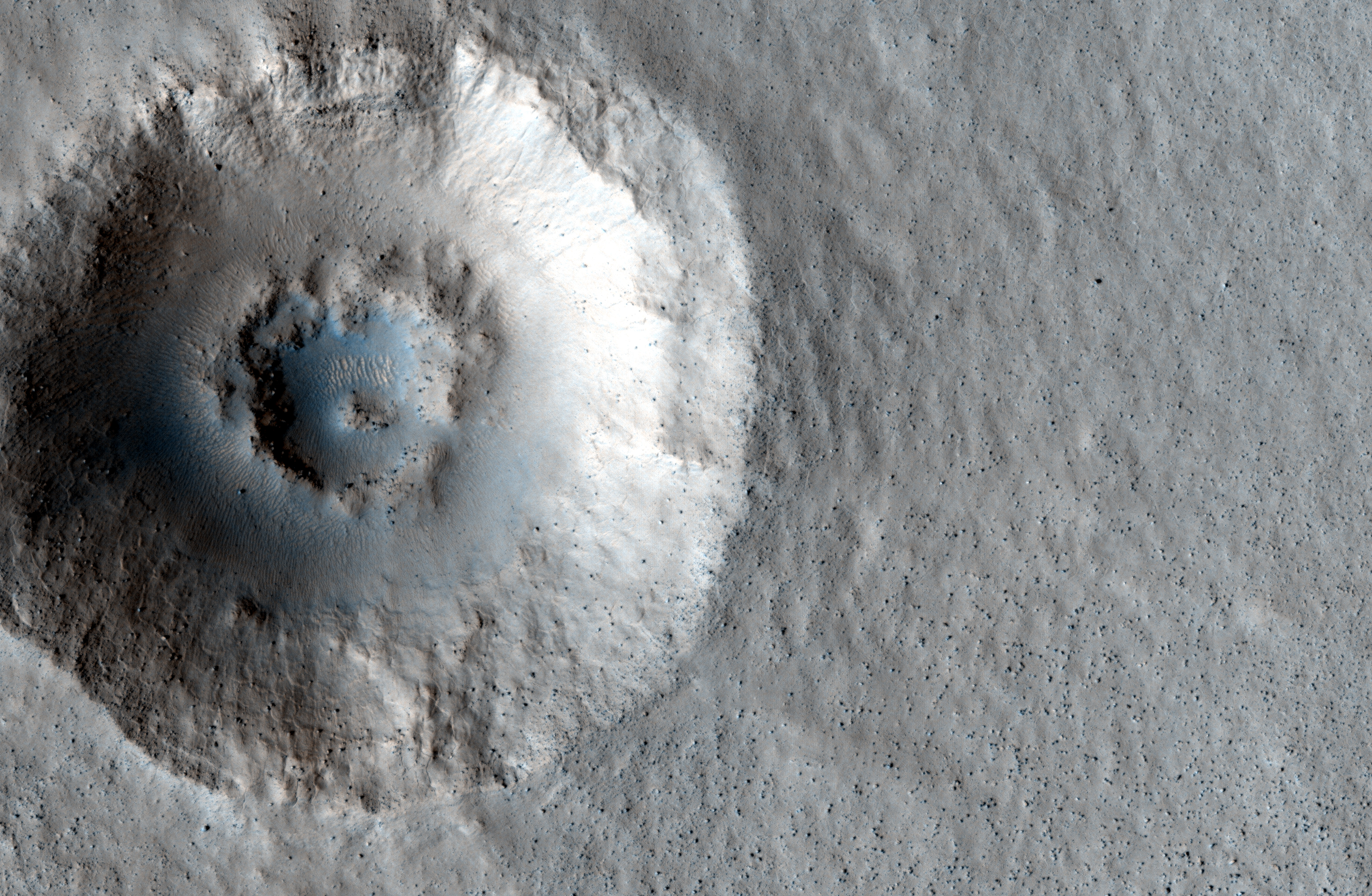
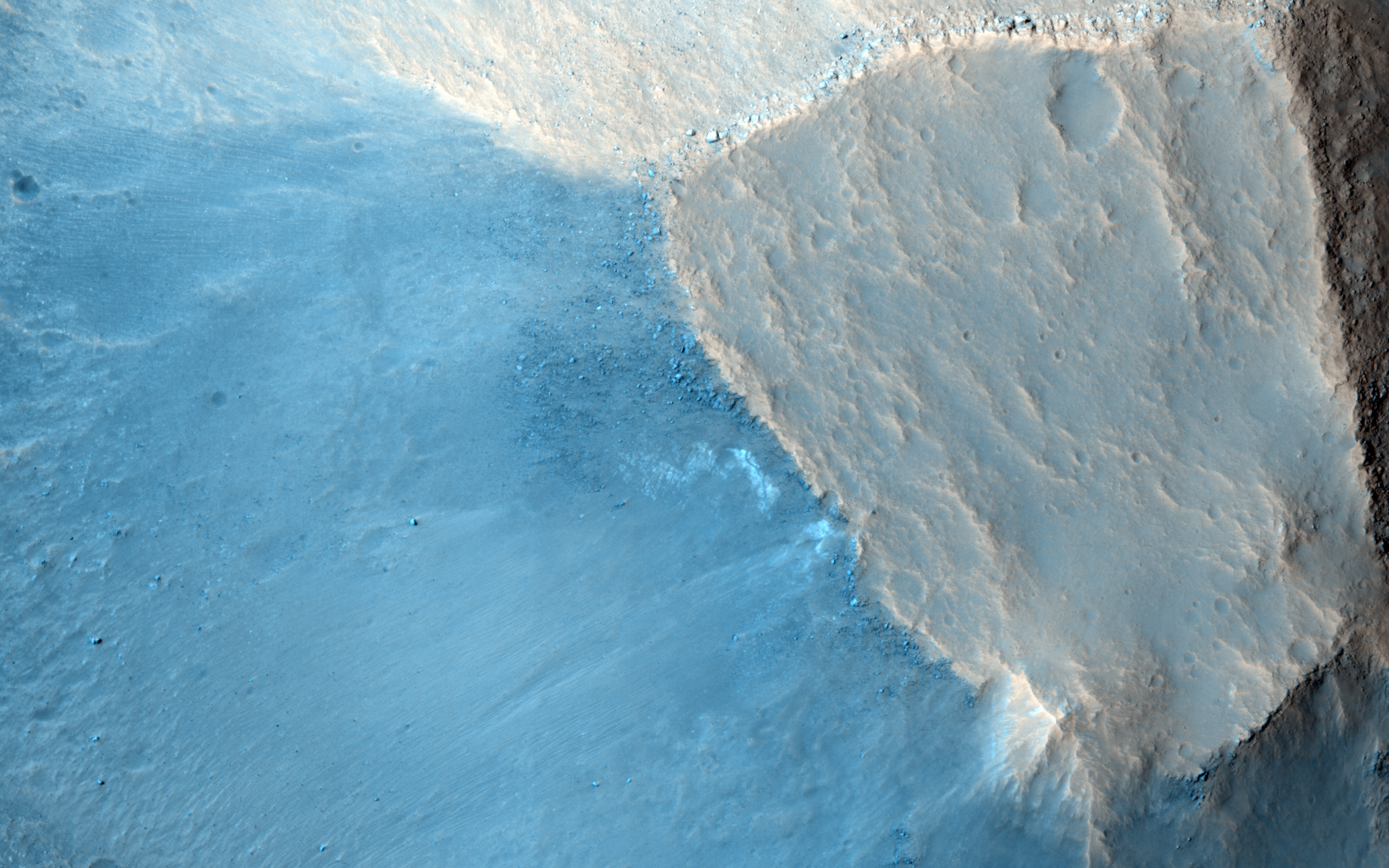
Today's Image of Mars was taken by MSL Curiosity; it shows further evidence that water once existed on Mars. What you see here are remnants of an ancient riverbed on Mars, including the prominent rock outcrop Hottah, named after Hottah Lake in Canada's Northwest Territories.

Click to see full size original
Source: NASA/JPL
This rock outcrop is a sedimentary conglomerate, meaning that it is comprised of small fragments cemented together. The outcrop is tilted up due to some sort of disruption, most likely as a result of nearby impacts and their associated tremors.

We can tell that this used to be an ancient stream because of the size and rounded shape of the small rocks/gravel and the fact that small bits of the gravel and sand sized grains are cemented into the outcrop. Because some of the cemented gravel is round and too large to have been transported by the wind, scientists believe that it was transported by fast moving water, which is further evidence for this once having been a stream/river.

Mars Photo of the Day - 26 Sep 2012

Today's image of Mars is of the first rock examined in earnest by Mars Science Laboratory, Jake Matijevik. The odd, 25cm tall pyramid shaped rock is named after the late surface operations systems chief engineer, who passed away on 20 Aug 2012. He had worked on all three other rovers, Sojourner, Spirit,  and Opportunity

The rock Jake was used to test and calibrate some of Mars Science Laboratory's many tools, including the laser attached to the rover's ChemCam instrument, which determines the rocks chemical composition by analyzing the vaporized particles. 


On 24 Sep 2012 MSL Curiosity finished up it's examination of Jake and began its longest drive thus far on the Mars, 42 meters. Over the next few days and weeks, scientists hope to test the rest of Curiosity's instruments, including it's scooping system and drill, which scientists hope will give them unprecedented insight into the composition of surface materials on Mars, as well as material that may lie right below the surface. 

Mars Photo of the Day - 20 Sep 2012

Today's Image of Mars shows two distinctive layers exposed in a 230m wide crater caused by a meteorite impact in the Northern Plains. The impact excavated material from both layers at different rates because the layers are different densities. If you want to conduct an experiment to see how this happens, follow these steps:
  • Fill a bowl halfway with water and freeze it. 
  • After it's frozen, place a layer of sugar (powdered or granular) over the surface.
  • (This is the messy part) Take a marble or other hard object and throw it down into the bowl. (The impact will eject a lot of sugar from the surface)
  • Carefully remove the marble.
  • Take a photo from above. You will notice that the marble made more of an impact in the sugar, but faced increased resistance when it hit the ice. 
This is a simplified version of what happened when the meteorite created this impact. The layer under the surface was denser so the meteorite faced much more resistance and excavated the material at a much lower rate, as seen below.

Click for high resolution image from HiRISE. [See their caption]
Radar images taken by SHARAD, the radar instrument aboard the Mars Reconnaissance Orbiter indicate the presence of ice below the surface, which makes this area a potential site for future exploration of Mars. If we can access ice beneath the surface of Mars then we could use it not only for sustenance, but as a source of fuel for future missions to Mars.


Mars Photo of the Day - 15 Sep 2012

Today's Image of Mars shows Hadley Crater, just west of Al-Qahira Vallis. In this image from Mars Express you can see that the southern (left) side of the crater is much shallower than the north side. This is due mass wasting, an erosion process by which material slides down a slope under the force of gravity.

Click to see the original high resolution image from Mars Express [See ESA article]

Mass wasting can be started by the presence of water, an earthquake, erosion at the slope base, or ice splitting rocks on the surface. In this instance we cannot be certain what caused the mass wasting evident in this crater, or the period of time over which the process occurred, but by examining the smaller impact craters within Hadley crater, we will get a better idea of the past conditions in the crater. Why is this the case?

Generally the deeper the material the older it is. The impact that created Hadley Crater dredged up material from deep below the surface.  Following the impact of Hadley Crater, numerous other meteorites struck the same area, dredging up even deeper material. We can determine what conditions on Mars had to be present in order to create the ejected material. Scientists can determine how old the material is and combine that with their conclusions about the environment it was created in to determine when Mars had those conditions.

Rock Age + Environment Required for Specific Rock Formation = Environment on Mars During Time of Rock Formation

Studying MSL's Tracks Will Help Future Missions to Mars

Take a look at this remarkable image from HiRISE showing Mars Science Laboratory Curiosity and the tracks it made during the first few drives in Gale Crater. Scientists will be keeping a close eye on these tracks so as to track the rate of surface change on Mars. 

Click to see high resolution version from HiRISE.

Unlike Earth's Moon, Mars does have wind and other weather, so tracks will get covered up. Examining these tracks will let scientists determine the quantity and frequency of dust deposits in Gale Crater, as well the rate of erosion. Knowing how often features on the surface of Mars can change or be covered up will help current and future missions to Mars; let me explain how:

Imagine a Mars rover takes a long distance shot and sees something slightly protruding out of the surface. If we have a good idea of the rate of change on Mars then we can determine how long that feature will be there before getting covered up. If it will be covered up in a matter of days then it would become a higher priority then something that might be visible for a few weeks or months.

If you send a manned mission to Mars it is essential that they are knowledgeable about the rate of surface change. If you were going to take a walk on Mars you would make some reference points so as not to get lost. If you weren't aware of the rate of change you might use a field of hematite (blueberries) to the right of base camp as a reference point, not realizing that it might be covered up in a couple hours. You could get lost because you didn't know how fast something could get covered up!

As you can see, images like the one above are essential to our understanding of Mars and could help us save the lives of future explorers and billions in hardware!


Mars Photo of the Day - 2 Sep 2012

Today's Image of Mars shows mounds in Chryse Planitia formed by a process called diapirism, which occurs when older material of lower density than overlying layers gets dredged up to the surface. Just imagine the rock as a very viscous liquid. If you put two types of liquid together the one with the lower density will eventually float to the top. That is what happened in this image of Mars.

HiRISE images like the one below of these mounds will show us if clays or other aqueous materials are present. If they are present then scientists will be able to determine the material's age, which will tell us when water was abundant on Mars.

Clicking on this image will take you to the high resolution version from HiRISE. [See the caption from HiRISE]