Google+ Mars Travel: Images from MSL
Showing posts with label Images from MSL. Show all posts

'Rat' on Mars

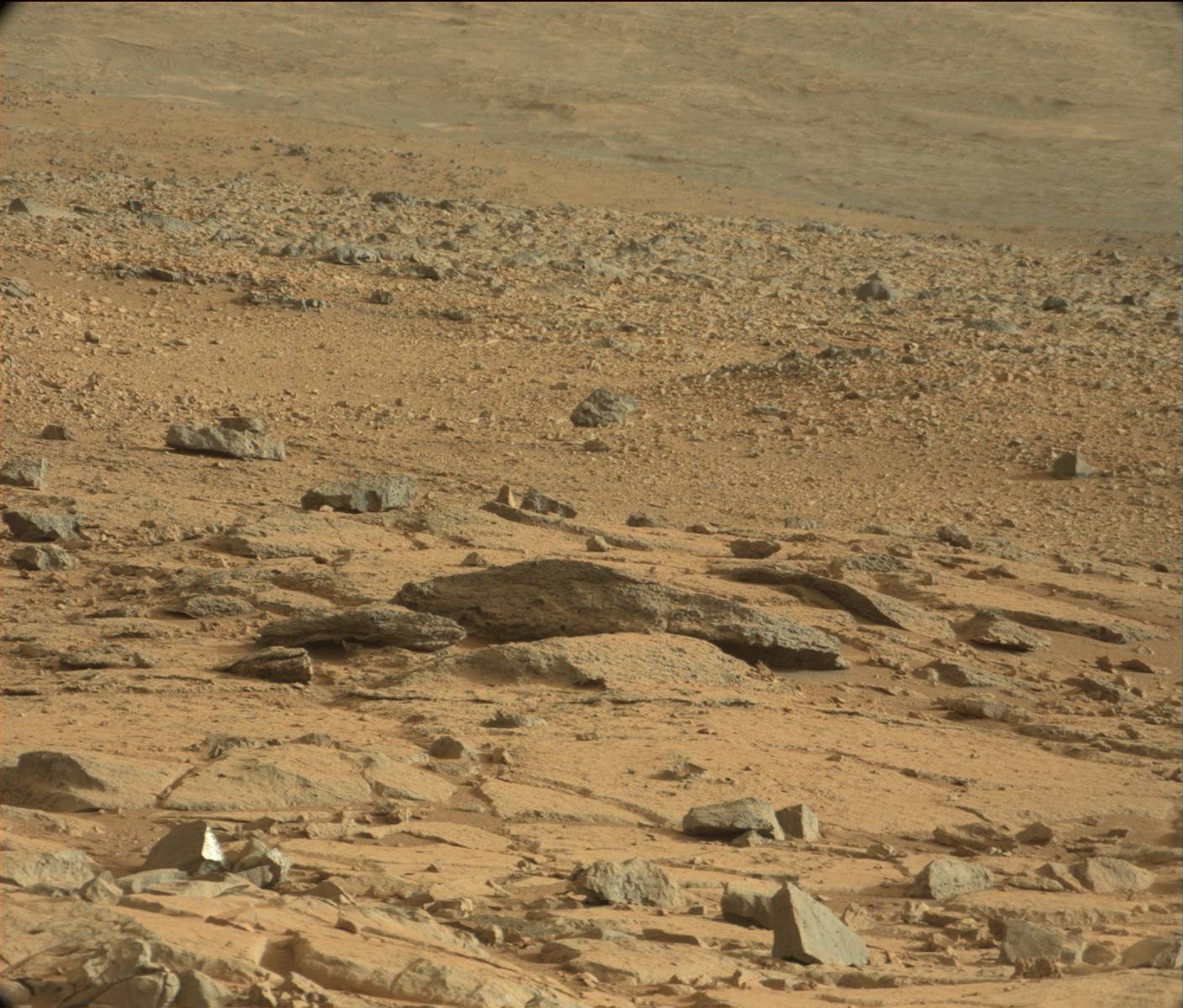
Recently a lot of people have been talking about a 'Rat' on Mars, so I thought I'd show you what all the fuss is about. To see this supposed 'rat' click on the first image for the high resolution version from NASA then zoom in on the upper left corner. See anything?

Click on the image for the High Resolution version from NASA then zoom in on the upper left corner. See anything?
What you might think is an animal is actually a psychological phenomena called pareidolia where your brain interprets vague objects as familiar shapes, or in this case, an animal.  This is an evolutionary trait in humans that once allowed us to easily identify predators on the horizon because we could easily identify their faces and features
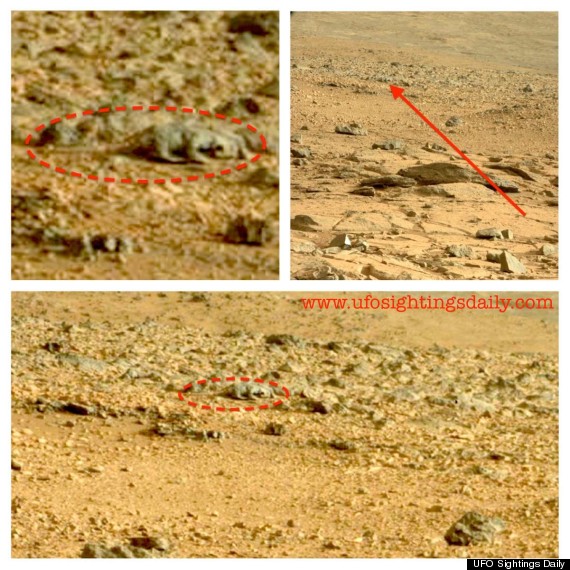
In case you can't find the 'rat' in the photo above, I've included the zoomed in and circled version that Huffington Post compiled from UFO Sightings Daily below. UFO Sightings Daily was the first to report on the 'rat'.

While I believe this 'rat' on Mars is simply pareidolia, yet again on Mars, I leave it up to you to decide whether it is a 'rat' or simply your mind playing a trick on you. 

Mars Rock vs Earth Rock - Can You Tell the Difference?

The below image shows us just how difficult it can be to differentiate the surface of Mars from Earth's. This image was taken by MSL Curiosity on 2 Sep 2012, it's 27th sol (Martian day) since it's operation in Gale Crater

Which one is which?

Click to see larger, annotated version from NASA.

Mars Photo of the Day - 30 Sep 2012

Today's Image of Mars was taken by MSL Curiosity; it shows further evidence that water once existed on Mars. What you see here are remnants of an ancient riverbed on Mars, including the prominent rock outcrop Hottah, named after Hottah Lake in Canada's Northwest Territories.

Click to see full size original
Source: NASA/JPL
This rock outcrop is a sedimentary conglomerate, meaning that it is comprised of small fragments cemented together. The outcrop is tilted up due to some sort of disruption, most likely as a result of nearby impacts and their associated tremors.

We can tell that this used to be an ancient stream because of the size and rounded shape of the small rocks/gravel and the fact that small bits of the gravel and sand sized grains are cemented into the outcrop. Because some of the cemented gravel is round and too large to have been transported by the wind, scientists believe that it was transported by fast moving water, which is further evidence for this once having been a stream/river.

The View From MSL Curiosity's Gale Crater Landing Site

As Mars Science Laboratory looks around its landing spot in Gale Crater, what does it see? This! 


You need to click on the image to see it in magnificent high resolution! Just looking at it you can see that the terrain looks very similar to something you might see in the southwestern United States. This mosaic combines 79 different images taken by MSL's Mastcam since the rover's arrival on Mars. The black overlays you see are areas that were unable to be processed or which were lost during transmission back to Earth.

What can we see of note in this image?

We can see the area excavated by the blast of MSL's descent stage engines. Of most interest to scientists is the uppermost layer of fine material embedded with rock fragments. The characteristics of the exposed sediments will tell scientists a lot about the conditions under which they formed and will give them a greater understanding of the past Martian environment.


In the mosaic you can also see the rim of Gale Crater about 18 km north of MSL. There you can see where a network of valleys are thought to have entered into Gale Crater in the distant past.


This is actually the first time that a river system has been imaged from the surface of Mars! MSL will not be investigating this particular fluvial system because it's main target, Mount Sharp, is to the south, but the images it provides from this distance are still the most detailed images we have and will tell us a lot about Martian river systems!

In the days and weeks to come there will be much more to discover about Gale Crater! Keep checking back for the latest and greatest!


Mars Photo of the Day - 6 Aug 2012

Today's Image of Mars comes from Mars Science Laboratory and shows Mount Sharp, the 5.5km high central uplift of Gale Crater. MSL will be studying Mount Sharp as it attempts to determine whether Mars once did, or still does have the building blocks for life.

Click to see the high res image from MSL Curiosity
Source: NASA/JPL
Mount Sharp's base is thought to be at least 2 billion years old and it is contains numerous layers of clays and sulfates, two materials that are only known to form in the presence of water. The layers directly on top of those are comprised primarily of sulfates, with very few clays, which implies that they were formed in an environment where Mars was becoming drier and water was evaporating.

By studying these layers scientists can verify that Gale Crater once contained a lake of water. They will also give us insight as to the time frame the water begin disappearing from the surface of Mars! There is so much that MSL will learn from examining Mount Sharp; what it will find only time will tell!


First Two MSL Images of Mars

The first two images from Mars Science Laboratory (MSL) Curiosity Mars' Gale Crater are of the rover's wheel and the other is of it's shadow! This is incredible! Within minutes of MSL touching down it sent back these images! The landing went off remarkably well!