Google+ Mars Travel: Evidence of Water on Mars
Showing posts with label Evidence of Water on Mars. Show all posts

Sampling the Surface of Mars

Thanks to Mars Science Laboratory (MSL) Curiosity, we know that Mars is a familar grey just below the surface. The image below shows the area where MSL first used its rock abrasion tool to remove a surface layer of dust, exposing the underlying grey rock, named Ekwir_1.

Source: NASA (Click image to see larger, captioned original)

MSL then drilled into a separate rock, dubbed John Klein, on 8 Feb 2013, or Sol 182 of its operation on Mars. This was the first sample drilling conducted by MSL on Mars. The below hole measures 6.4 centimeters (2.5 inches) deep.

Source: NASA (Click image to see larger original)

After drilling, MSL transfeered a powdered sample of the rock from the drill into its sample collection scoop. The below image, taken on 20 Feb 2013, shows the powdered rock sample obtained from the drilling. This is the first ever interior sample of a rock taken on another planet. Currently, MSL is examining small portions of the sample through the its Chemistry and Mineralogy (CheMin) instrument and Sample Analysis at Mars (SAM) instrument. The samples were processed into both analysis intruments on the 22nd and 23rd of February, but due to a computer issue the samples have yet to be analyzed.


Source: NASA (Click image to see larger, captioned original)


John Klein is a veiny, fined grained sedimentary rock. It was chosen as the first location for drilling because it likely holds evidence of past wet conditions on Mars. MSL's analysis of the powdered sample will give us insight to the past environment on Mars.

On 28 February MSL's science team switched to a redundant onboard computer in response to a memory failure on the original, previously active computer. The transition resulted in the rover going into safe mode until 4 March, at which point it entered active status again. Despite this, the rover won't become fully operational for another few days.

Because of the computer issue MSL hasn't been able to analyze the powdered rock sample, but once systems come back on line we should see results within the subsequent few days. What will we find out about the past environment of Mars? Will we find out that Mars was or habitable? We can only guess for now, but within a week we should have the results back!


McLaughlin Crater - A Once Lively Lake?

McLaughlin Crater on Mars may have once been home to a massive lake! That's according to new spectrometer date from NASA's Mars Reconnaissance Orbiter (MRO).

McLaughlin is a 92 kilometers (57 miles) in diameter and 2.2 kilometers (1.4 miles) deep. The crater's extreme depth tapped into typically unexposed underground channels of water, which then filled the crater.

Click to see larger, annotated, and captioned version from NASA
MRO discovered clays and carbonates, which only form in the presence of water, on the floor of McLaughlin Crater. We know small underground channels fed this massive lake because there is no evidence of any large outflow channels leading into the crater. Additionally, small channels within the crater end at a certain point on the crater wall, which was likely the level of of the lake.

This new discovery of clays and carbonates in McLaughlin Crater has added even more hope that life once, or maybe still does, exist on Mars. The presence of carbonates in particular indicates that the lake likely had low-acid content because carbonates generally do not remain preserved in high-acid environments. Life as we know is most likely to exist in low-acid environments, so having this knowledge makes scientists think this crater and the underground tributary channels may be the ideal place to search for evidence of past and/or present life.


Mars Photo of the Day - 10 Oct 2012

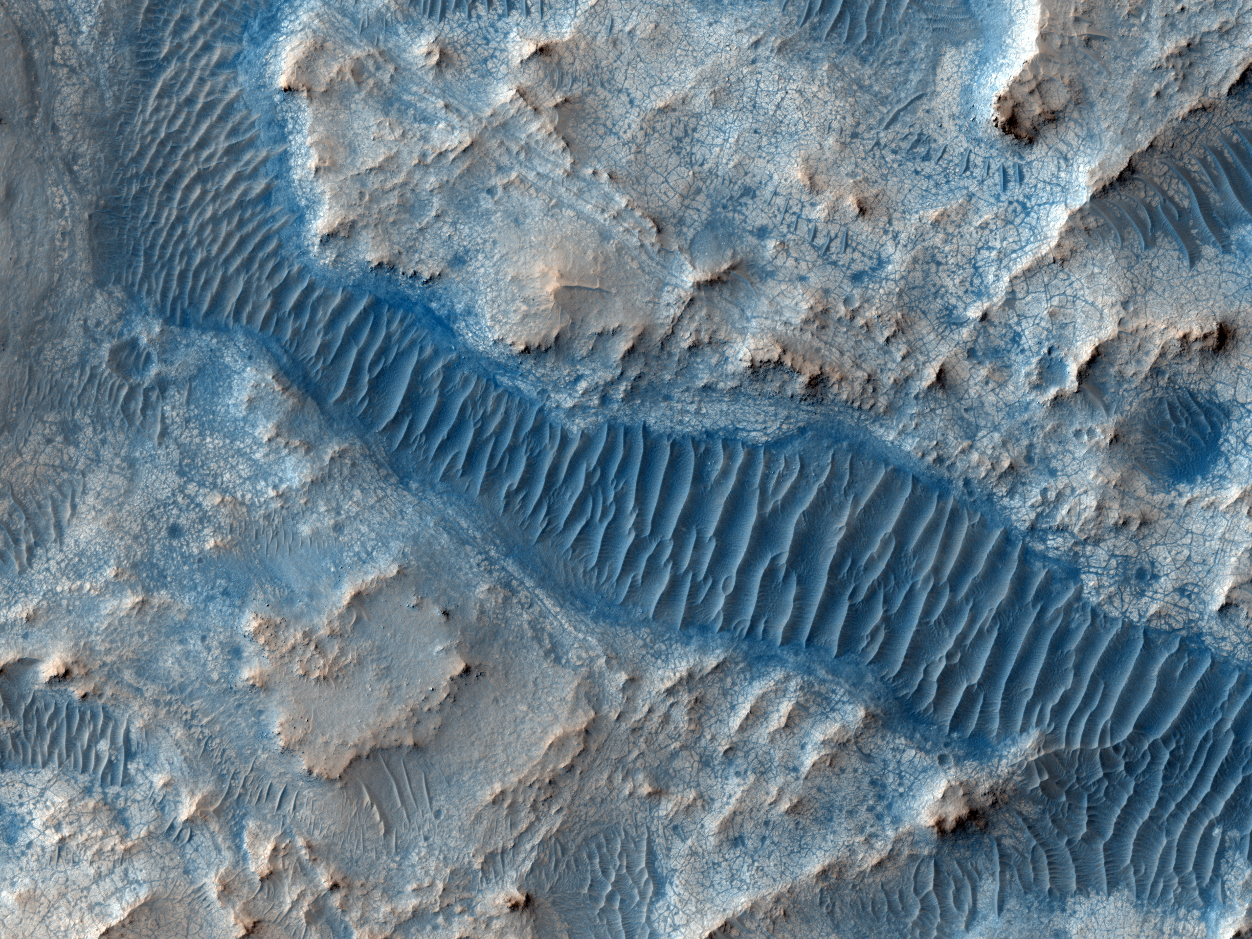
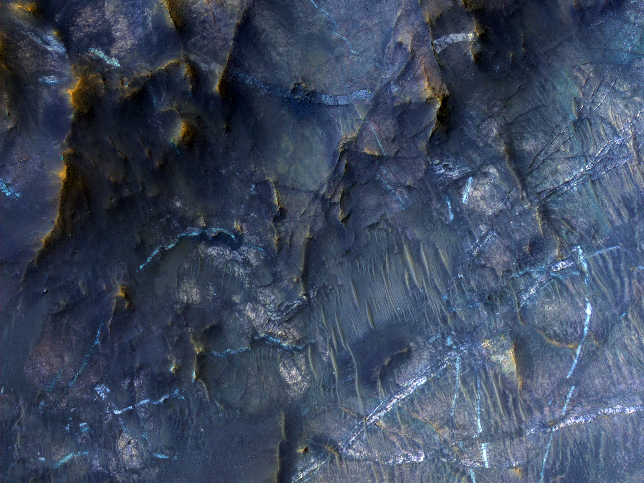
Today's Image of Mars shows an area at the base of Gale Crater's Mount Sharp where Mars Science Laboratory Curiosity will eventually explore. The darkest colored materials are deposits small grained, windblown sand. The blue areas represent unaltered igneous rock, whereas the lighter brownish-red colors are indicative of the same type of rock altered by what most scientists believe was water. 

MSL Curiosity's mission is to search for signs that Mars could have once supported life as we know it; examining minerals that have been altered by the presence of water will help us to determine that. Studying the chemical composition of these rocks will provide us with unparalleled insight into the past environment on Mars. 

Clicking on this image will take you to the original high resolution image. [HiRISE caption for the image]

Mars Photo of the Day - 30 Sep 2012

Today's Image of Mars was taken by MSL Curiosity; it shows further evidence that water once existed on Mars. What you see here are remnants of an ancient riverbed on Mars, including the prominent rock outcrop Hottah, named after Hottah Lake in Canada's Northwest Territories.

Click to see full size original
Source: NASA/JPL
This rock outcrop is a sedimentary conglomerate, meaning that it is comprised of small fragments cemented together. The outcrop is tilted up due to some sort of disruption, most likely as a result of nearby impacts and their associated tremors.

We can tell that this used to be an ancient stream because of the size and rounded shape of the small rocks/gravel and the fact that small bits of the gravel and sand sized grains are cemented into the outcrop. Because some of the cemented gravel is round and too large to have been transported by the wind, scientists believe that it was transported by fast moving water, which is further evidence for this once having been a stream/river.

Mars Photo of the Day - 6 Aug 2012

Today's Image of Mars comes from Mars Science Laboratory and shows Mount Sharp, the 5.5km high central uplift of Gale Crater. MSL will be studying Mount Sharp as it attempts to determine whether Mars once did, or still does have the building blocks for life.

Click to see the high res image from MSL Curiosity
Source: NASA/JPL
Mount Sharp's base is thought to be at least 2 billion years old and it is contains numerous layers of clays and sulfates, two materials that are only known to form in the presence of water. The layers directly on top of those are comprised primarily of sulfates, with very few clays, which implies that they were formed in an environment where Mars was becoming drier and water was evaporating.

By studying these layers scientists can verify that Gale Crater once contained a lake of water. They will also give us insight as to the time frame the water begin disappearing from the surface of Mars! There is so much that MSL will learn from examining Mount Sharp; what it will find only time will tell!


What is Mars Science Lab Looking for?

Below is an image pointing out clays and sulfates in the lower portion of Mount Sharp within Gale Crater. Mars Science Laboratory (MSL) Curiosity is set to land in Gale Crater on Monday 6 Aug at 0100ET.  From there MSL will begin examining the surrounding terrain, with special emphasis on the clay minerals and sulfates because those were likely formed during a period when Mars was more hospitable to life as we know it.

Source: Space.com
We know this because clays and sulfates are formed in the presence of water. Orbital studies of Gale Crater have indicated that the water that once filled the crater was less acidic than in other areas previously studied on Mars. Water is more hospitable to life when it is less acidic, so scientists hope that examining the clays and sulfates formed in that water will tell them whether Mars was, or still is a conducive environment to life as we know it. 

A lot of people think that Mars Science Laboratory was sent to Mars to find life, but this isn't the case. It is landing on Mars to determine if the conditions on Mars were or still are favorable to life. That doesn't mean MSL couldn't find life, it just means that it isn't searching for it.

Source: NASA/JPL

So why does Mars Science Laboratory's mission matter? If we find out that Mars was or still is an environment that can sustain life, it will raise our hopes that it did once contain life. The mission will examine the layers in Mount Sharp, giving us a better understanding of the timeframe during which the water on Mars disappeared. If we know when the water on Mars disappeared we can better determine why and perhaps learn how to prevent such a catastrophe from happening to us on Earth!

When we determine how long ago water was abundant on Mars we can start narrowing down our search for life by only examining sediments and other material formed during those time periods since water is generally thought to be necessary for the development of life. So Mars Science Laboratory is key to understanding more about the past on Mars and in the solar system!

Mars Photo of the Day - 29 Jun 2012

Today's Image of Mars shows colorful layers in Nili Fossae that are thought to contain carbonates. On Earth carbonates are commonly formed by marine organisms! Could it be that there was once life in the waters of Mars? Maybe!

Despite this tantalizing possibility, most scientsts are more reserved in their assessments, believing instead that there is some currently unknown reason why the carbonates formed on Mars. However, the scientists do say that water was most likely involved in the formation of the carbonates.

One day we may send a mission to this area in Nili Fossae, but for now we can only speculate and wonder about the origins of the carbonates. Clicking on this image will take you to the original high resolution image from HiRISE. [See their caption for the image]


Mars Photo of the Day - 19 June 2012

Today's Image of Mars shows bright material on the floor of a trough in Noctis Labyrinthus, which lies on the far western edge of Hellas Basin, just east of the Tharsis Volcanoes. What is this bright material, and under what circumstances did it form?

Examination of this bright material by Mars Reconnaissance Orbiter's CRISM shows that the bright material contains water. The hydrated material likely formed when ground water welled up into low lying depressions or when ice within Noctis Labyrithus was melted by volcanic activity in the nearby Tharsis region.

One day we may send a rover or even a manned mission to this area to find out exactly where the water came from, and more importantly, where it disappeared to. Until that time, further analysis from orbiting camera like those aboard the Mars Reconnaissance Orbiter will still provide valuable insight about the past and present climate on Mars. Maybe one day we will image something that will help us pinpoint the exact reason and time that water disappeared from the surface of Mars. For that answer, and many others, we will continue searching.

Clicking on this image will take you to the original high resolution image from HiRISE. [See their caption for this image]


Mars Photo of the Day - Jun 8 2012

Today's Image of Mars shows possible clays and sulfates in Gale Crater, which is where Mars Science Laboratory (MSL) Curiosity will be landing on August 6 2012. Clays and sulfates are formed in the presence of water on Earth, and scientists use their abundance on Mars as proof that water once covered much of the Red Planet.

Click to see the original hi-res image
Credit: HiRISE


When MSL lands in Gale Crater it will examine other clays and sulfates within the 150km wide crater, in hopes of determining if Mars was ever capable of sustaining life. The age of the clays and sulfates will give us a better understanding of when water was present on the surface of Mars. Examining the exact composition of those clays will show us the acidity of that water, which is an important factor in determining if life as we know it could have existed on Mars.

If water is too acidic than most life that we've encountered on Earth would not be able to survive. Orbital instruments aboard Mars Reconnaissance Orbiter, Mars Express, Mars Odyssey Orbiter and other past and present orbiters has indicated that Mars contains some clays formed in highly acidic water, but it also contains some formed in more tolerable (neutral) water. Examinations of Gale Crater have led scientists to believe that the water once contained within it was close to neutral, and thus much more hospitable to life as we know it.

But only by further examination of the clays, sulfates, and other materials in Gale Crater will we know for sure! That is why Mars Science Laboratory Curiosity was sent! We have only to wait until August before the discoveries begin!

Mars Photo of the Day - June 6 2012

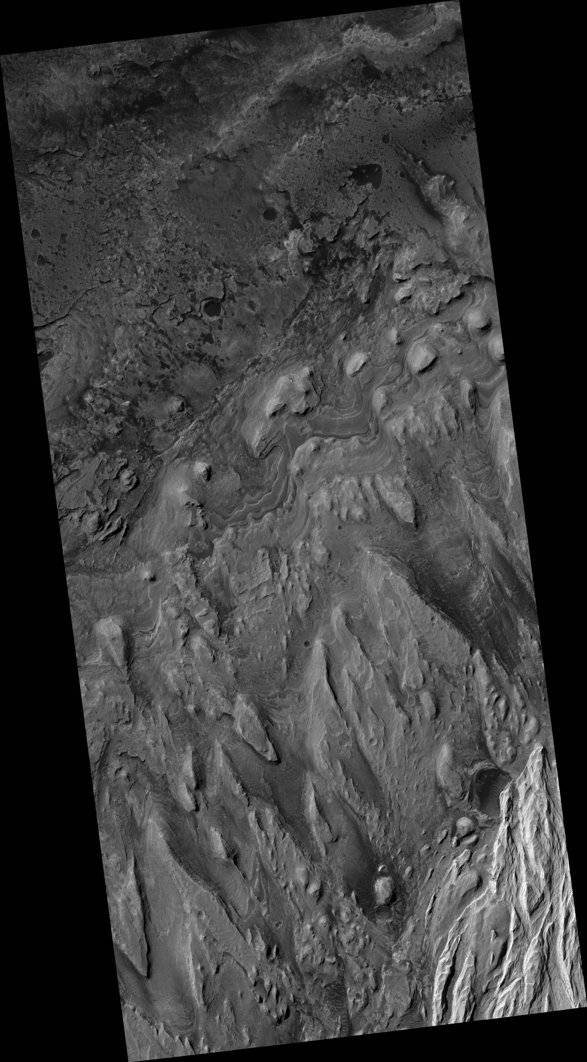
Today's Image of Mars is a picturesque example of what became of the rivers on Mars and the effects those ancient bodies of water had on the surface. You can see in this image that much of the terrain is composed of light and moderately toned layered material. The cratered, lower elevation areas tend to be darker.

Clicking on this image will take you to the original high resolution one from HiRISE. [See their caption]

Mars Photo of the Day - May 31 2012

Today's Image of Mars shows a location near the mouth of Morava Valles, as imaged by HiRISE. Morava Valles is an outflow channel that scientists speculate was formed when Ladon Basin overflowed and sent water rushing toward the chaotic terrain to the north of Ares Valles.

There are other valleys/riverbeds that seem to emerge from Ladon Basin. Something they all have in common are the layers exposed on the surface. As you can see in the image below these layers can be very distinct. Further study of these layered deposits will help scientists to verify that they were deposited by flowing water. Scientists may also be able to determine when the layers began getting deposited and when they stopped being formed. Determining this will allow us to get a better idea of when water was present on Mars, and how long it lasted on the surface.

Click on this image to see the original high resolution image from HiRISE.


Mars Photo of the Day - May 30 2012

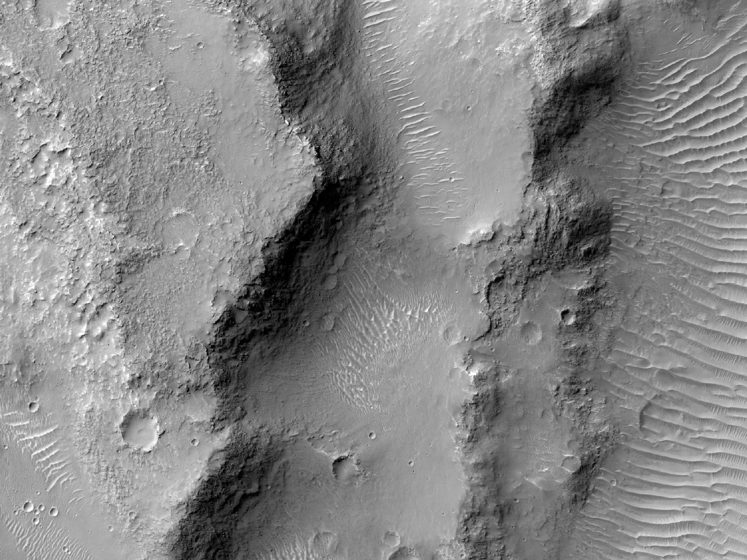
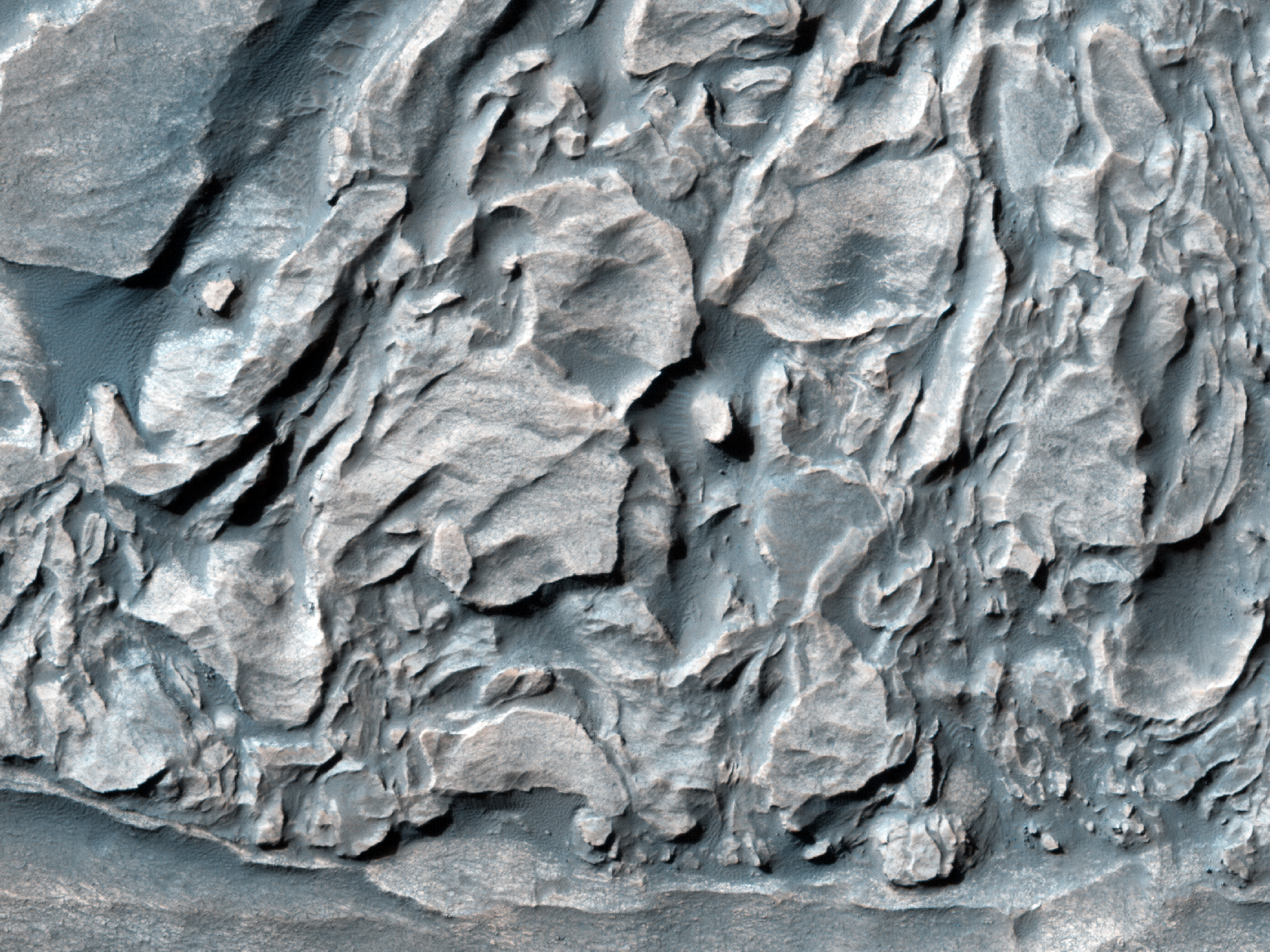
Today's Image of Mars shows different minerals exposed along a slope in Coprates Chasma, as imaged by HiRISE. The slope is on the left in this image, while the floor of Coprates Chasma is on the right. The brighter material has been exposed over millions of years of erosion and likely represents minerals that are older than the overlying terrain.

It appears that these minerals were deposited at a time when water or ice was abundant. We can tell this by the composition and layering of the material. The material seems to be of a sedimentary nature and it contains layers that are oftentimes seen in materials deposited by water.

Clicking on this image will take you to the original high resolution image from HiRISE. [See the original HiRISE caption]


Mars Photo of the Day - May 21 2012

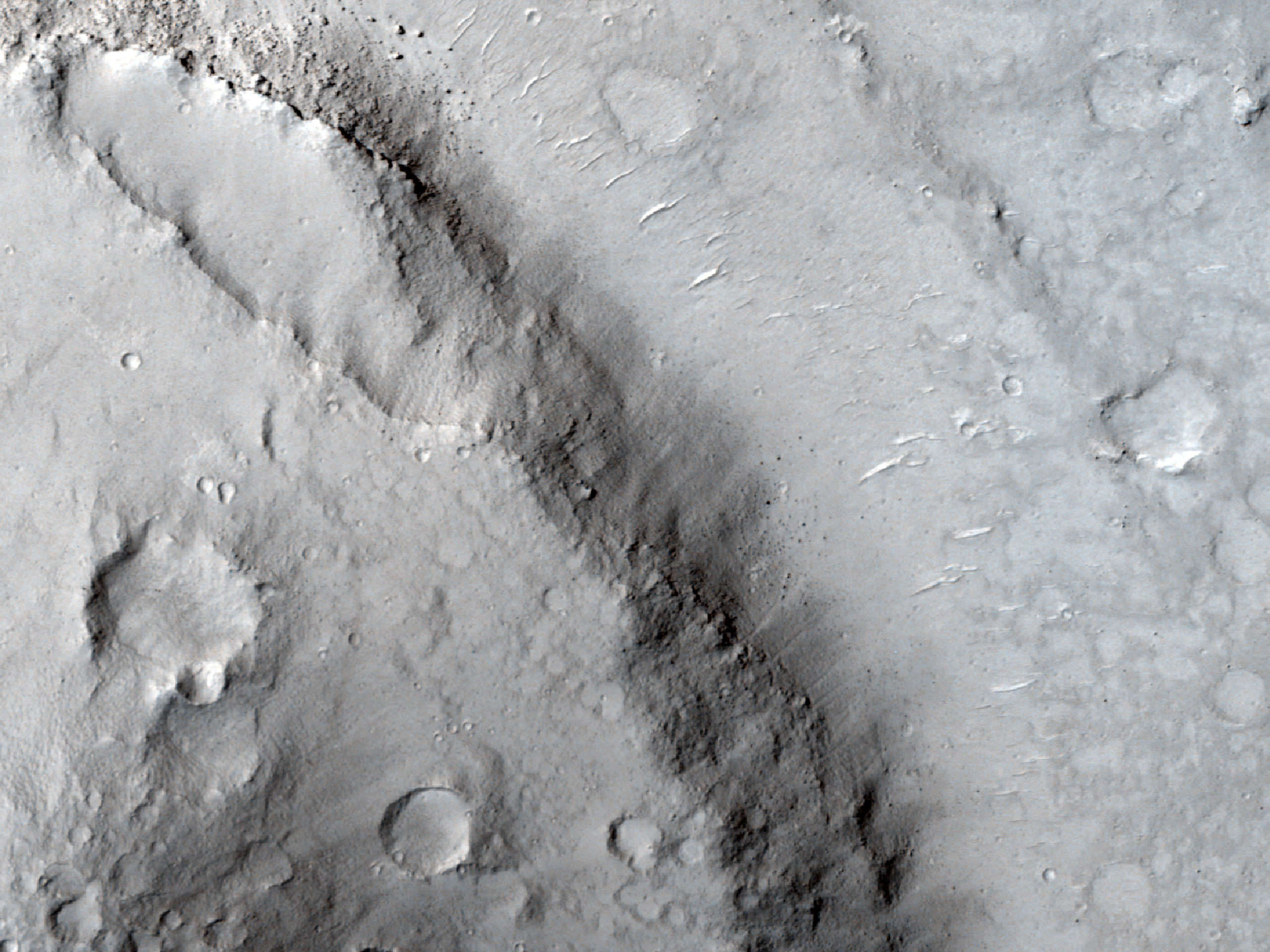
Today's Image of Mars shows streamlined features in Cerberus Fossae, as taken by HiRISE. These are indicative that water once flowed across the surface of Mars and eroded islands into what we see below, most particularly at the upper left of the image. Just imagine a huge wall of water washing over an island. Now imagine this happening constantly. It's going to flatten that island out, smashing it in the direction of the water flow. That's what happened in the image below.

These features also exist on Mercury and the Moon, where they were formed by lava, but scientists believe the case is different on Mars. They believe that on Mars these streamlined features were created by flowing water, which then evaporated or went underground. These streamlined features occur in areas where scientists believe large channels of water existed. In almost all instances the features have a layer of lava overlying them, which lends credence to the theory that the features were eroded by water, and covered by subsequent lava flows.

Observations like the one below will help scientists to prove their hypothesis that lava covered the features eroded by water. Click on the image to see the original high resolution image from HiRISE. [See their original caption]


Weekend Feature: Gale Crater

Looking down on Mars we see Gale Crater as a crater among many craters, but even from this distant perspective Gale Crater is unique, special, and above all, intriguing. In the image below we can spot the 150km in diameter Gale Crater because of its massive central uplift, Mount Sharp, which rises 5.5 km above the northern crater floor and 4.5 km above the southern crater floor. It is Mount Sharp that makes Gale Crater so intriguing and worthy of future study.


Mount Sharp's base is thought to be at least 2 billion years old. It is comprised of clays and sulfates, two materials that are only known to form in the presence of water. The layers directly on top of those are comprised primarily of sulfates, with very few clays, which implies that they were formed in an environment where Mars was becoming drier and water was evaporating. See the next image for an idea of what these intriguing layers look like.

Mars Photo of the Day - Apr 30 2012

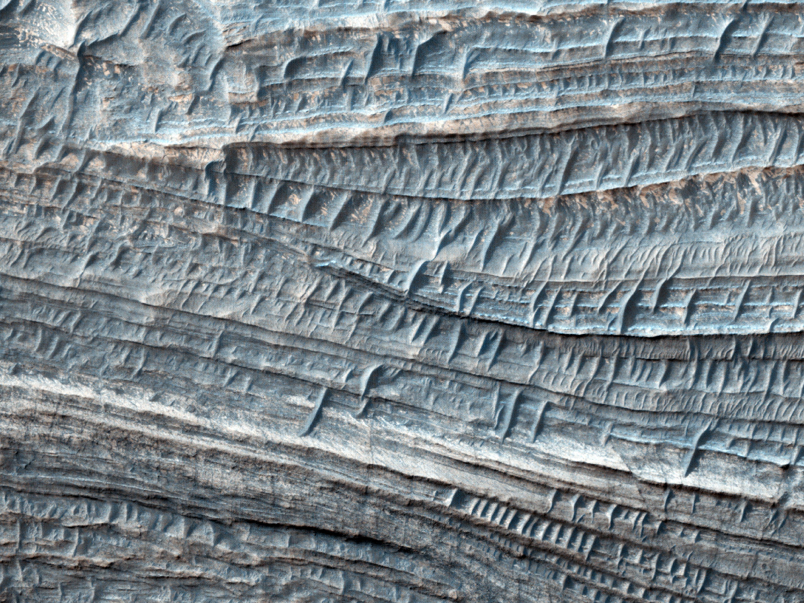
Today's Image of Mars shows some of the thickest fine-grained layered deposits on The Red Planet. These layers are in West Candor Chasma, which  is located in central Valles Marineris. Scientists have been able to determine that the layers are fine-grained because the wind picks up small particles and carries them through the air, which HiRISE is able to detect.

But what deposited these layers? One explanation is that wind, volcanic ash, or water, or a combination thereof deposited the layers, which were then altered by ground water. When alter by the ground water the minerals became hydrated and formed clays and sulfates. Water was abundant in Hellas Basin during different periods, so it is possible that this multitude of water could be responsible for the extremely thick layers, since the more water there was, the larger the layers.

Click on the image below to see the original image from HiRISE. [See the HiRISE caption]


Mars Photo of the Day - Apr 29 2012

Today's Image of Mars comes from HiRISE and shows folded layered deposits in Melas Chasma, which is located in central Valles Marineris. That's right, there are huge layers of rock that have been folded over on one another! The question is, how did they get that way?

We can use the knowledge gained from examination of similar features on Earth to make educated judgements about their creation on Mars. On earth huge rocks will fold when they become deeply buried and are exposed to high pressure and temperatures, but on Mars this is unlikely the case because it doesn't experience as much vertical shift as Earth does.

There is a more plausible explanation for these folded features on Mars, and that is water. Water could have caused the material near the surface to be become soft and malleable, making it easier to fold and bend, even under the slightest pressure.

Click on this image to see the original high resolution image from HiRISE. [See their caption for the image]
.


Mars Photo of the Day - Apr 16 2012

Today's Image of Mars comes from HiRISE and shows a potential future landing site in Utopia Planitia for future missions to Mars. This area is thought to have once held a giant lake, the water from which seems to have at least partially retreated underground. It was once among the top candidate destinations for the Mars Science Laboratory, but lost out to Mount Sharp in Gale Crater.

Recent imaging with gamma-ray and neutron spectrometers on Mars Odyssey has revealed that an abundance of hydrogen molecules lie just one or two meters below the surface, which is indicative of water being right below the surface! You can bet that Utopia Panitia will remain on the list of potential landing sites for future missions to Mars!

Clicking on this image will take you to other potential future landing sites showcased by Mars Travel, since the original HiRISE image isn't much larger and has no caption as of yet.


Mars Photo of the Day - Apr 12 2012

Today's Image of Mars was taken by HiRISE in order to examine the topography of an area in Cerberus Fossae that is thought to be the source of liquid that flooded the surface long ago. Scientists have long speculated that the water erupted from a ruptured underground reservoir and flooded the area, but recently some scientists have speculated that the channels and other features associated with a flood could have been created by lava, and not water at all.

Click the image to see the original hi-res image from HiRISE
[See the original HiRISE caption]

The reason for this newfound speculation is that over top of the features carved by the flood lies a layer of lava. This leads some people to wonder if there was any water involved at all, since a flood of lava could have created similar features. 

The problem for scientists comes with proving either theory because the lava layer that coats all the features hinders our orbital intruments from determining what lies beneath. If underneath the layer of lava are sedimentary layers that would imply that water was involved, which deposited and compacted the sediments. However, if there are no sedimentary deposits then the "no water" theory would be given some credence since most large quantities of flowing water leave sedimentary evidence behind.

My vote goes for the terrain being carved by a flood of water, which retreated back under the surface or evaporated when the climate changed on Mars. The area then likely experienced volcanic activity and was covered by a large lava flow. But anything is possible, so its important to keep an open mind!

See All Mars Photo of the Day Posts!

Mars Photo of the Day - Mar 27 2012

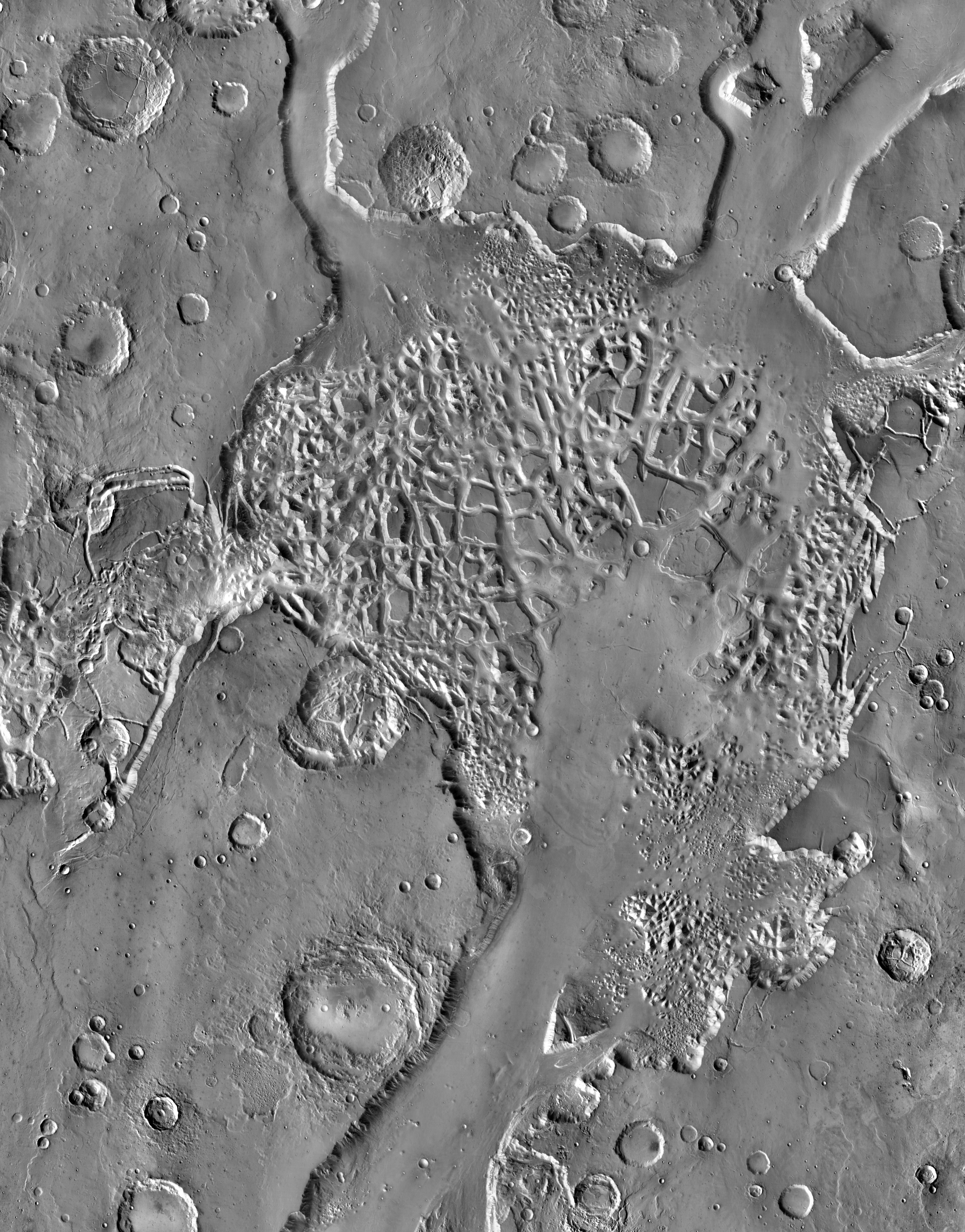
Today's Image of Mars comes from THEMIS shows some very intricate chaotic terrain in Hydraotes Chaos. Chaotic terrain is typically made up of valleys punctured with numerous mesas and hills, as well as occasional pits. These features usually combine in a way that makes them seem patterned. The terrain in the center resembles a spiderweb, with many interlocking features.

Hydraotes Chaos measures about 300km from East to West and 350km from North to South and lies in a valley leading northeast out of Ganges Chasma to the east of Valles Marineris. The channels in this image were created by catastrophic flooding of the region approximately 2-3.8 billion years ago.

This dating was determined by counting craters on the surface, a method used by scientists to determine the relative age of terrain on extraterrestial bodies. The idea is that the more craters there are, the older the feature is since a recent feature is less likely to have been impacted by as many asteroids.

This image is so small because if I make it any bigger it will take forever to load. To see the original, huge, high resolution image, just click on it. [See the original article on Hydraotes Chaos]


Mars Photo of the Day - Mar 22 2012

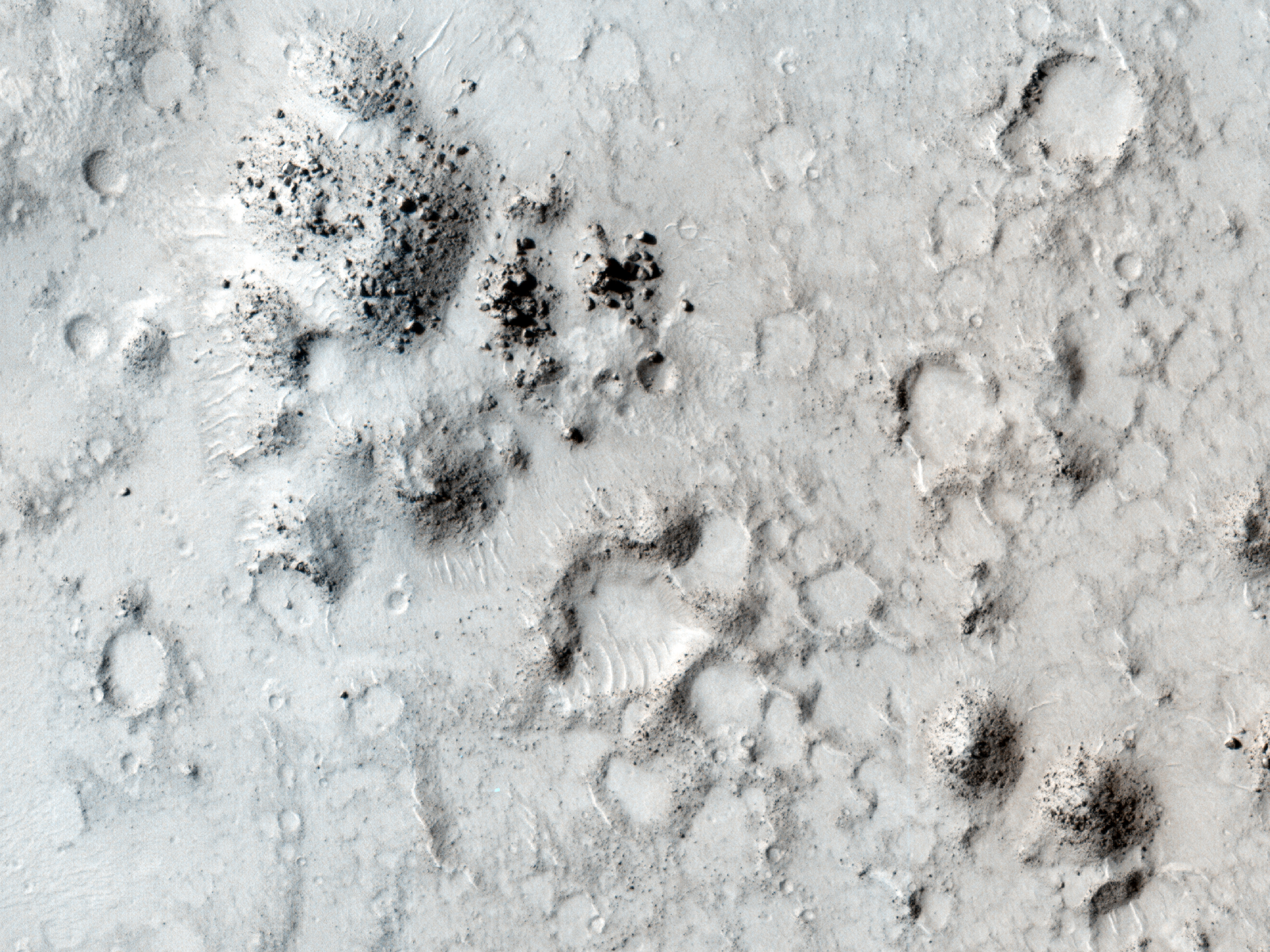
Today's Image of Mars shows huge, bright mineral veins on top of the central uplift of a crater measuring 50km in diameter. The central uplift measures 5km wide and is made up of bedrock dredged up from deep under the surface. Mineral veins are formed when water flows through fractures, depositing minerals.

Heat from the impact that created this crater melted ice and created a hydrothermal system that may have been capable of supporting life! Other areas on Mars have also shown signs of previously going through hydrothermal activity, which gives hope that it was once habitable since two of the requirements for life as we know it are water and heat!

Mars Exploration Rover Opportunity recently discovered a small mineral vein called Tisdale