Google+ Mars Travel: Layered Deposits on Mars
Showing posts with label Layered Deposits on Mars. Show all posts

Mars Photo of the Day - 16 June 2012

Today's Image of Mars shows Danielson crater on the right and Kalocsa crater in the center, as imaged by Mars Express. Danielson crater is 60km in diameter, while Kalocsa crater is 33km in diameter and 1km shallower.

Click image to see high resolution original from Mars Express. [See their article]

Within Danielson you can see some yardangs, which form when erosion is primarily caused by wind. Yardangs have multiple sharp ridges are oriented in a similar way. That orientation can help scientists determine the direction of the winds that created them. In this case the yardangs indicate that there were once very strong north, north-easterly winds.

Danielson Crater shows evidence that the climate went through periodic climate shifts as a result of changes to the rotational axis. The several layered deposits visible within Danielson have similar thickness and separation, which scientists speculate means the climate has changed on Mars in regular intervals. This can easily be explained by periodic changes in the rotational axis of the planet.

Kalocsa crater shows completely different features, with no layered sedimentary deposits . Scientists have two theories for how this could have occurred. The first is that because the floor of Kalocsa is at a higher altitude, it did not break into the suspected underground ancient reservoir. Since layered deposits usually require the presence of an abundance of water, this would make sense. The second hypothesis is that Kalocsa crater is much younger than Danielson and was formed at a time when water was no longer present on the surface.

Mars Photo of the Day - May 31 2012

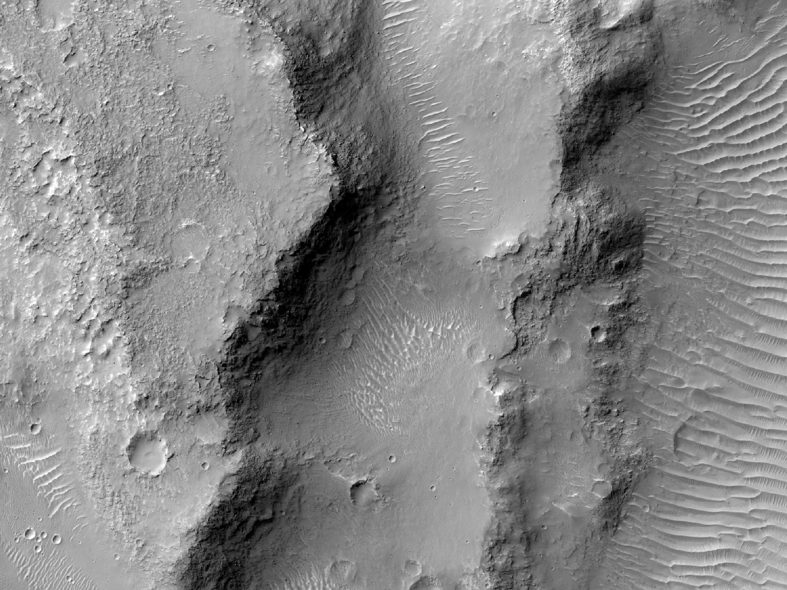
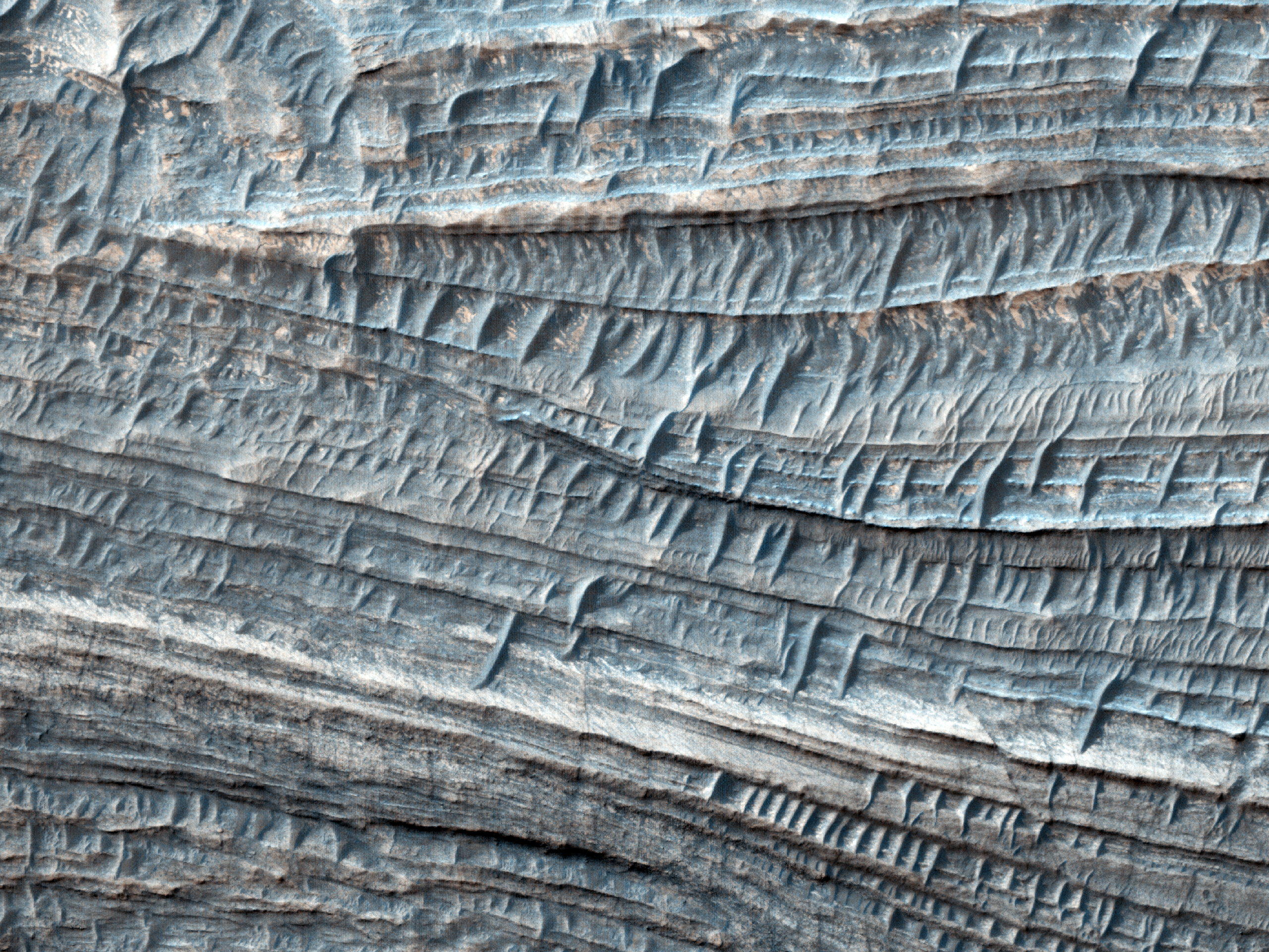
Today's Image of Mars shows a location near the mouth of Morava Valles, as imaged by HiRISE. Morava Valles is an outflow channel that scientists speculate was formed when Ladon Basin overflowed and sent water rushing toward the chaotic terrain to the north of Ares Valles.

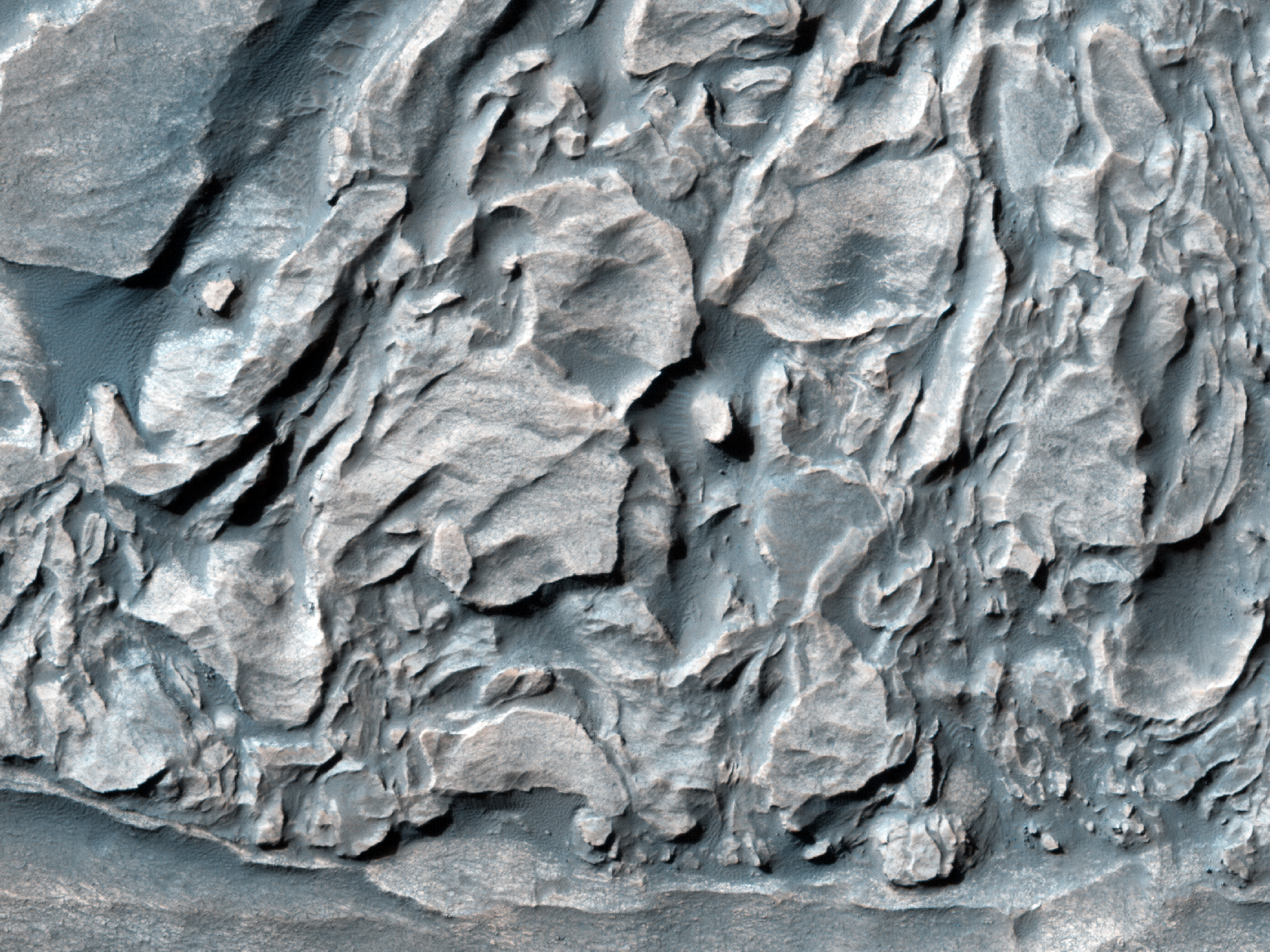
There are other valleys/riverbeds that seem to emerge from Ladon Basin. Something they all have in common are the layers exposed on the surface. As you can see in the image below these layers can be very distinct. Further study of these layered deposits will help scientists to verify that they were deposited by flowing water. Scientists may also be able to determine when the layers began getting deposited and when they stopped being formed. Determining this will allow us to get a better idea of when water was present on Mars, and how long it lasted on the surface.

Click on this image to see the original high resolution image from HiRISE.


Weekend Feature: Gale Crater

Looking down on Mars we see Gale Crater as a crater among many craters, but even from this distant perspective Gale Crater is unique, special, and above all, intriguing. In the image below we can spot the 150km in diameter Gale Crater because of its massive central uplift, Mount Sharp, which rises 5.5 km above the northern crater floor and 4.5 km above the southern crater floor. It is Mount Sharp that makes Gale Crater so intriguing and worthy of future study.


Mount Sharp's base is thought to be at least 2 billion years old. It is comprised of clays and sulfates, two materials that are only known to form in the presence of water. The layers directly on top of those are comprised primarily of sulfates, with very few clays, which implies that they were formed in an environment where Mars was becoming drier and water was evaporating. See the next image for an idea of what these intriguing layers look like.

Mars Photo of the Day - Apr 30 2012

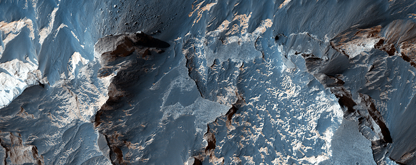
Today's Image of Mars shows some of the thickest fine-grained layered deposits on The Red Planet. These layers are in West Candor Chasma, which  is located in central Valles Marineris. Scientists have been able to determine that the layers are fine-grained because the wind picks up small particles and carries them through the air, which HiRISE is able to detect.

But what deposited these layers? One explanation is that wind, volcanic ash, or water, or a combination thereof deposited the layers, which were then altered by ground water. When alter by the ground water the minerals became hydrated and formed clays and sulfates. Water was abundant in Hellas Basin during different periods, so it is possible that this multitude of water could be responsible for the extremely thick layers, since the more water there was, the larger the layers.

Click on the image below to see the original image from HiRISE. [See the HiRISE caption]


Mars Photo of the Day - Apr 29 2012

Today's Image of Mars comes from HiRISE and shows folded layered deposits in Melas Chasma, which is located in central Valles Marineris. That's right, there are huge layers of rock that have been folded over on one another! The question is, how did they get that way?

We can use the knowledge gained from examination of similar features on Earth to make educated judgements about their creation on Mars. On earth huge rocks will fold when they become deeply buried and are exposed to high pressure and temperatures, but on Mars this is unlikely the case because it doesn't experience as much vertical shift as Earth does.

There is a more plausible explanation for these folded features on Mars, and that is water. Water could have caused the material near the surface to be become soft and malleable, making it easier to fold and bend, even under the slightest pressure.

Click on this image to see the original high resolution image from HiRISE. [See their caption for the image]
.


Mars Photo of the Day - Apr 11 2012

Today's Image of Mars shows strangely uniform layered deposits in Danielson Crater, as taken by HiRISE. The uniform size of these layers is indicative of climate change on Mars that occurs in regular intervals

So what does that mean? It means that our solar system goes through recurring, regular changes that effect the climate of places within it. Yes, I know these layers only tell us that Mars goes through regular changes in climate, but there has to be a reason for that doesn't there? If we know that climate change occurs on a regular basis in our solar system we can begin predicting when the next change will occur so that we're more prepared for it. We can do this by analyzing features like the below layers on Mars to determine the intervals between each shift in climate. 

By studying what has occurred in the past we can better understand the present, while preparing for what the past tells us will happen in the future. Failure to prepare is preparation for failure. If we don't prepare for climate change - what history tells is a recurring trend and something we may not be able to fully prevent -then we are gambling with the life of our species.

The first step to understanding climate change is by analyzing layers like the ones below to determine how often change occurs, how drastic the change is, and how abruptly it comes about. Understanding the process will bring us one step closer to controlling it and ensuring that we don't get caught unawares by something that we should have predicted.

Click to see the original high resolution image from HiRISE. [See their caption for the image]


Mars Photo of the Day - Apr 9 2012

Today's Image of Mars shows layered deposits on the rim of a crater close to Argyre Basin, as imaged by HiRISE. The sun struck the crater at a low enough angle that it cast the interior into deep shadow, while illuminating the distinct layers on the crater rim. 

Layered deposits are important to scientists because they provide insight about the past environment on Mars. Transitioning layers imply that the environment on Mars was changing during that time period; how much and how often depends on the variance and size of the layers.

Clicking on this image will take you to the original high resolution image from HiRISE. [See their caption for the image]


Mars Photo of the Day - Apr 8 2012

Today's Image of Mars comes from HIRISE and shows distinct sedimentary layers on the floor of Ritchey Crater. These layered deposits help to provide insight about the past climate on Mars and the periods of change The Red Planet went through.

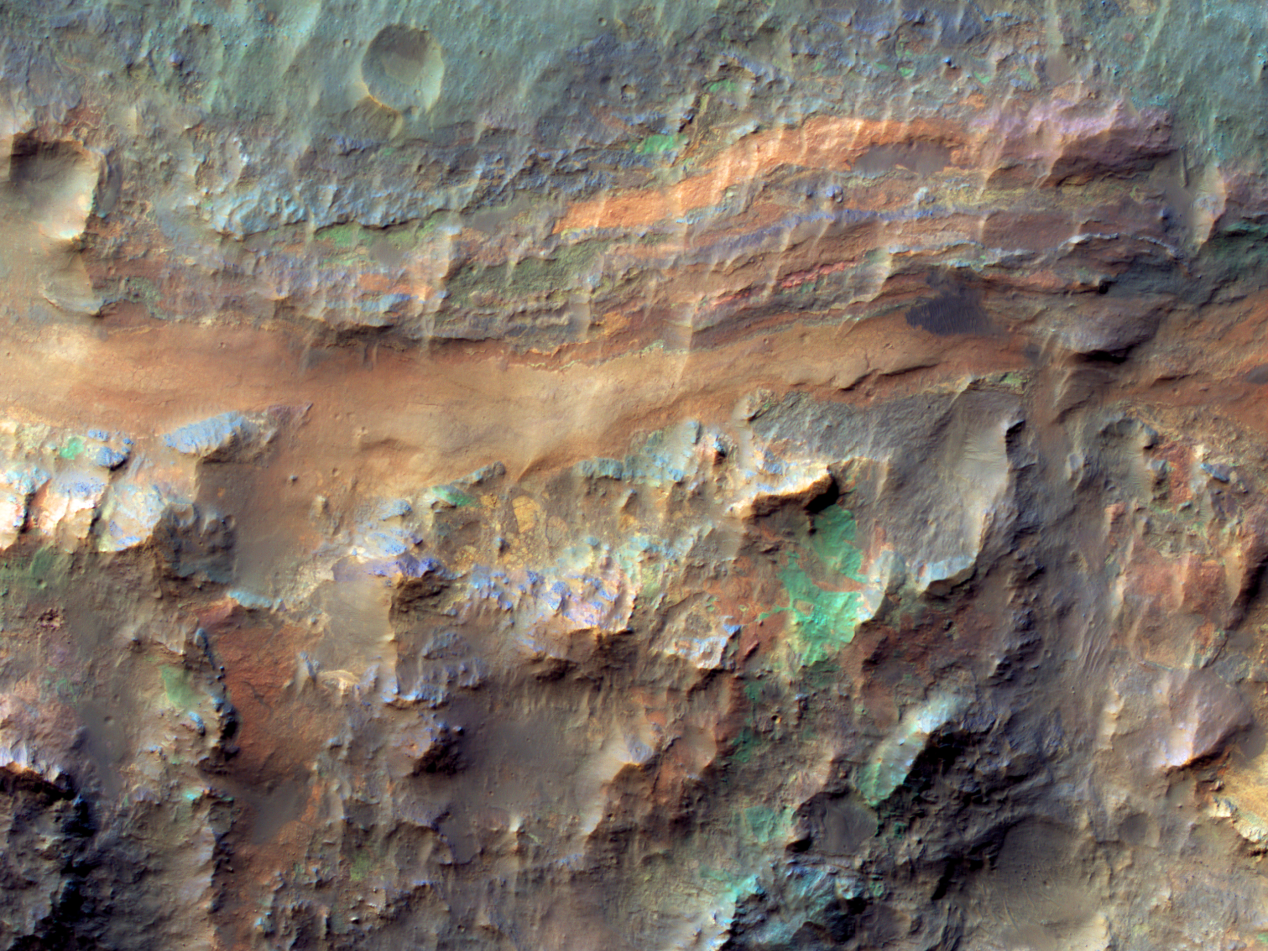
The blues and greens in the image are indicative of dry periods where the minerals were not altered by the presence of water. Examples of minerals that would fall into this category are olivine and pyroxene. The warmer colors, like the oranges and yellows, are minerals like sulfates and clays that were formed in the presence of water. 

Clicking on this image will take you to the original high resolution image from HiRISE. [See their caption for this image]


Mars Photo of the Day - Mar 9 2012

Today's Image of Mars comes from HiRISE and shows layers of water deposited sediment near the western rim of a large ancient crater. The layers seen below have a morphology similar to that seen elsewhere on Mars where channels have emerged into craters, creating alluvial fans.

In this case scientists cannot find obvious signs of a channel, but believe that the deposits left behind have been erased by wind erosion and other factors.

Clicking on this image will take you to the original high resolution image from HiRISE. [See their caption for the image]


Mars Photo of the Day - Mar 1 2012

Today's Image of Mars is absolutely stunning. 

Mars Reconnaissance Orbiter's HiRISE camera took this image showing the inside of a 50km crater that lies within Becquerel Crater, a 167km crater. It shows dark dunes,varying colors and textures, and layered blocks tilted at high angles within the smaller crater. 

Some of the material imaged below is extremely ancient because the impact that created Becquerel Crater dredged up material from deep below the surface, then the impact that created the 50km crater dredged up even deeper material. The deeper the bedrock lies, the older it generally is, because more recent layers become deposited on top of it.

Scientists believe that Becquerel Crater once contained an abundance of water. They came to this conclusion by analyzing the different layers exposed in the crater and determining that many of them are sedimentary layers that could only have been deposited by water.

Analyzing the ancient layers and bedrock exposed in the 50km crater within Becquerel Crater will give scientists insight into the past climate on Mars and help answer the question, "Where did the water on Mars go?"

Clicking on this image will take you to the original high resolution image from HiRISE. [See their caption for this image]


Mars Photo of the Day - Feb 17 2012

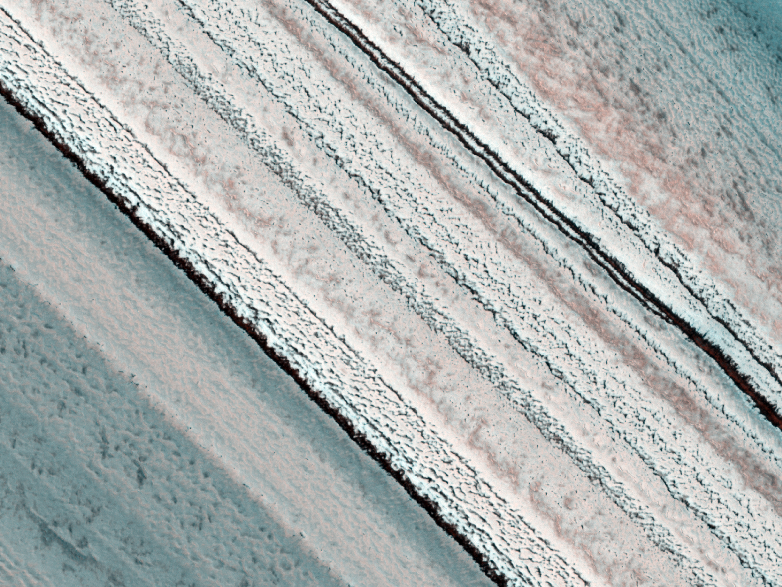
Today's Image of Mars shows colorful springtime layered deposits in the North Polar Region of Mars, as taken by HiRISE. Scientists study layered deposits because it lets them determine the past environment on Mars by studying the chemical makeup of the different layers. The oldest layers are buried beneath billions of years of sediment and dust deposits. 

When exposed, these layers tell us a lot about the past Martian climate including what the environment on Mars was when the layer was deposited, the length of time Mars experienced a certain climate, and the approximate time of environmental change. In short, studying layered deposits will help scientists determine when water was abundant on Mars and approximately when and how long it took for the planet to reach its current barren state. If we know when and how long it took for the water to disappear we can use that information to discover where the water on Mars went. 

Clicking on the image below will take you to the original high resolution image from HiRISE. [See their caption for the image]


Mars Photo of the Day - Feb 16 2012

Today's Image of Mars comes from HiRISE and shows an uplifted jumble of ancient terrain in a crater located in the volcanic plains between Argyre Basin and Valles Marineris. Large craters often have central mounds that result from structural uplift and reveal material buried deep under the surface over the course of millions and sometimes billions of years.

Examining these central mounds allows scientists to determine the past environment on Mars by examining the composition of the layered deposits making up the mound. This is exactly what Mars Science Laboratory, Curiosity will be doing when it lands in Gale Crater this August.

Clicking on this image will take you to the original high resolution image from HiRISE. [See their caption for the image]


Mars Photo of the Day - Dec 24 2011

Today's Image of Mars shows exposures of layered rocks in the Argyre Quadrangle on Mars. This bullseye looking feature is created as a result of erosion. Over millions or billions of years the wind on Mars chips away the outer and uppermost layers of these deposits, exposing the older material underneath. Scientists can then study the older, exposed layers and use their composition to determine the climate on Mars when the materials were deposited. Layered deposits like these are thought to be evidence that great lakes or seas once existed on Mars. 

The Argyre Quadrangle is home to the Argyre impact basin, which contains a lot of ancient eroded terrain and numerous impact craters, including Galle Crater (aka 'Smiley Face' Crater).

Clicking on this image will take you to the original, captioned HiRISE image.


If you like the HiRISE images showcased in the Mars Photo of the Day posts I encourage you to enter for a free 2012 HiRISE Calendar

Mars Photo of the Day - Dec 18 2011

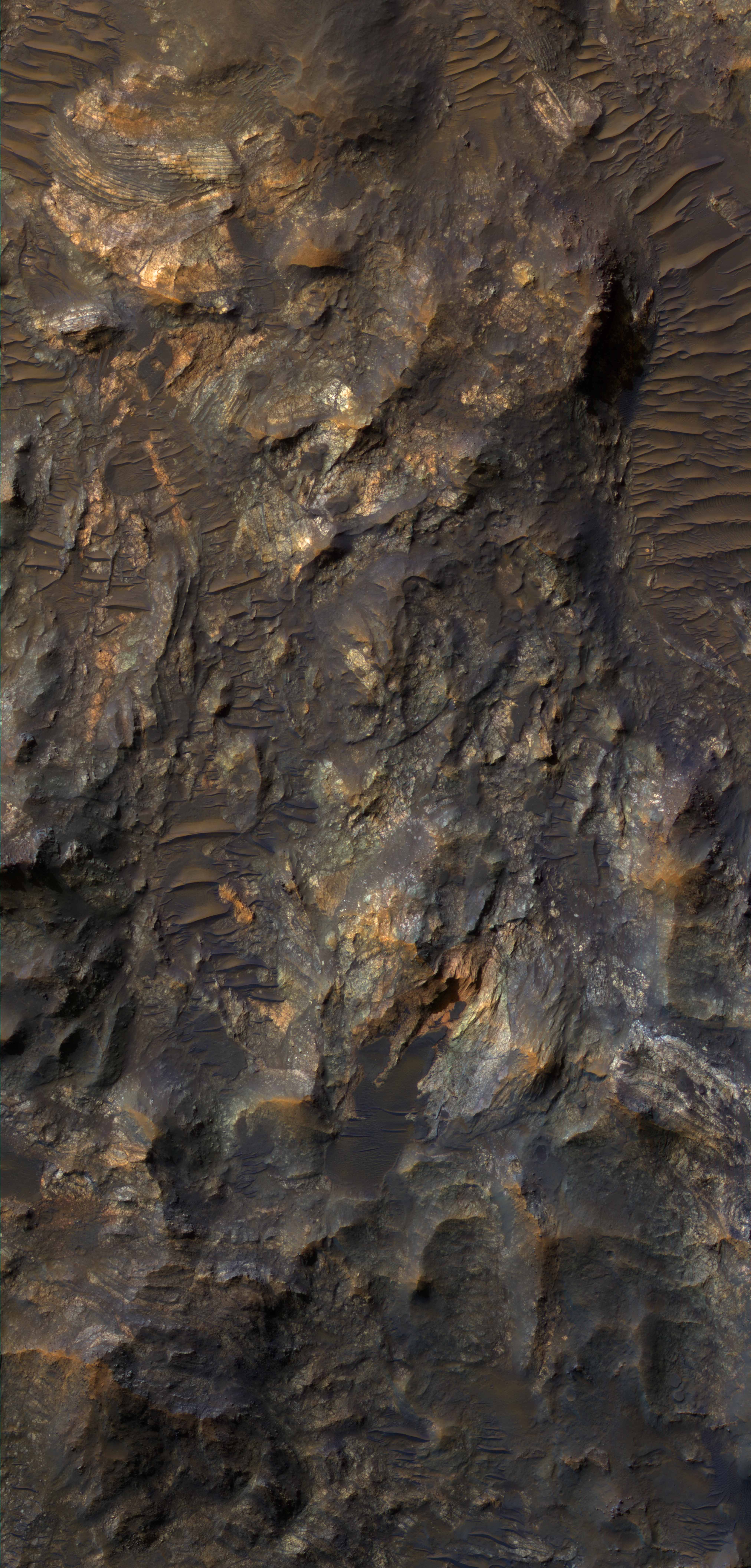
Today's Image of Mars shows some interesting features in and near the the central uplift of Ritchey Crater. At the top of this image you can see an ancient streambed. Just above the center of the image are multi-colored rocks and minerals in the crater's central uplift. 

Central uplifts are created when a newly formed crater's walls succumb to gravity and collapse in toward the center. This process often results in material being dredged up from deep within the crater walls.

Ritchey Crater is approximately 79km in diameter. Scientists are extremely interested in Ritchey Crater because it contains so many well preserved layers. The dark, more wear-resistant layer at the top of the central uplift acts as a cap to the underlying layers, protecting them from erosion. The layers underneath are softer and lighter. It is speculated that the layers may be composed of volcanic ash, sedimentary deposits, or sand dunes.

This image is the same size as the original, uncaptioned HiRISE image, so instead it will link to the Wikipedia page for Ritchey Crater, which unfortunately doesn't have much more information than I've provided above.


If you like the HiRISE images showcased in the Mars Photo of the Day posts I encourage you to enter for a free 2012 HiRISE Calendar

Mars Photo of the Day - Dec 15 2011

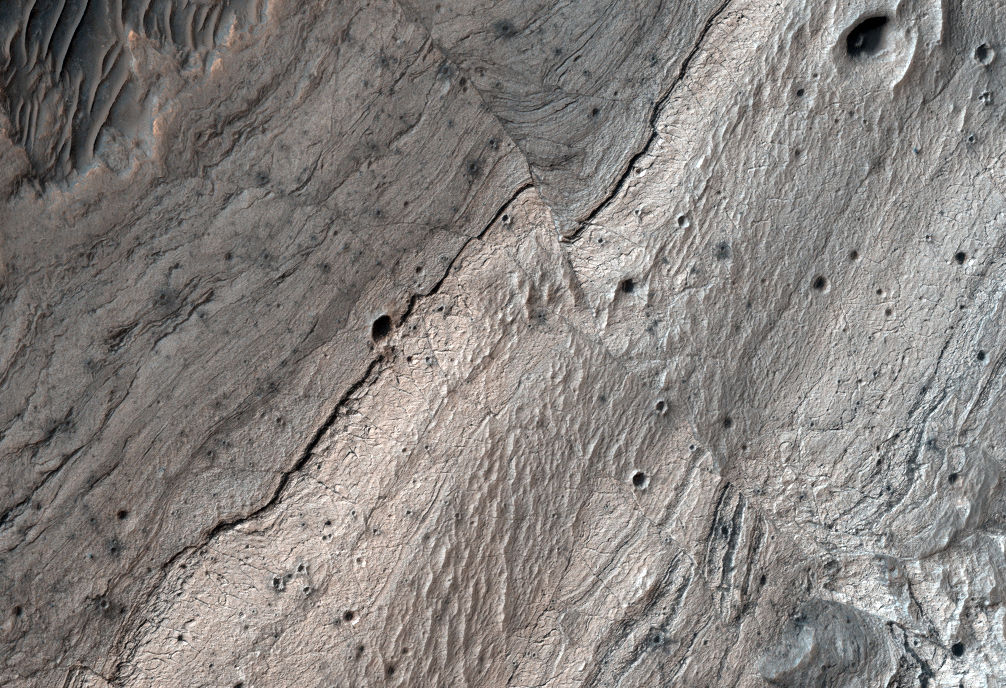
Today's Image of Mars is of faults in Ius Chasma, one of many deep depressions in Valles Marineris, the solar system's largest known canyon. Ius Chasma is about 900km long and 8-10km deep. The chasma is divided by an east-west ridge called Geryon Montes.

The floor of Ius Chasma is comprised of layered deposits, but due to excessive faulting the deposits have become jumbled. The dark spots you see in this image are the result of ejecta from impacts. They have exposed a layer underlying the lighter surface area. Scientists speculate that the darker layer being exposed is basalt. 

If you look closely you can also see many linear dunes, which are prominent all throughout Ius Chasma. These dunes have a north-south orientation, which is indicative of prevailing westerly winds through the canyon.
Clicking on this image will take you to the original captioned image from HiRISE.


If you like the HiRISE images showcased in the Mars Photo of the Day posts I encourage you to enter for a free 2012 HiRISE Calendar

Mars Photo of the Day - Dec 14 2012

Today's Image of Mars shows faults in Candor Chasma. This image of Mars is very similar to one I showcased just a few days ago- [Mars Photo of the Day - Dec 10 2011]. I guess you could say I preempted the HiRISE team.

The reason for the extensive faulting in Candor Chasma is still under debate, but we can see from this image that the layered deposits have shifted since they were first laid down. This is likely do to tectonic activity caused by stress on the Martian crust. 

Candor Chasma has been shown to have large quantities of hematite, a mineral that can precipitate out of water. Understanding the circumstances of its formation would help scientists piece together more of the distant Martian past.

Clicking on this image will take you to the original, captioned image from HiRISE.


If you like the HiRISE images showcased in the Mars Photo of the Day posts I encourage you to enter for a free 2012 HiRISE Calendar

Mars Photo of the Day - Dec 13 2011

Today's Image of Mars is of Hebes Chasma, an enclosed trough located in the most northern part of Valles Marineris that measures nearly 8000m deep. In the center of Hebes Chasma is an 8000m high mesa (flat topped mountain) with many layered deposits. It almost rises to the same height as the terrain surrounding Hebes Chasma.

Measurements from the OMEGA spectrometer on Mars Express have shown water bearing minerals, like gypsum, in Hebes Chasma, evidence that there was once an abundance of water in the trough.

It is thought that Hebes Chasma formed because of enormous stress in the Martian crust, which resulted in a number of radial faults. This stress was likely caused by crustal uplift from the development of many volcanoes in the nearby Tharsis region.

You really need to click on this image so you can see the high resolution image from the ESA. [See their article on this image and others like it]


Mars Photo of the Day - Nov 20 2011

Today's Image of Mars is of the lower portion of the central mound in Gale Crater. The central mound rises 5.5km above the northern crater floor and 4.5km above the southern crater floor and will be a prime target for Mars Science Laboratory Curiosity. The bottom of this image is actually the floor of the crater. 

What's so special about Gale Crater's central mound? 

Well the central mound is larger than any observed by a Mars rover before, which means that it contains more layers of deposits and will be able to tell scientists more about the ancient Martian past than ever before.

As you can see from the labels, the lowest portion of the mound is comprised of clays and sulfates, materials which are formed in the presence of water. The overlying layers contain sulfates, but very little clay, indicative of an environment in which water was evaporating and Mars was becoming drier. 

Mars Science Laboratory Curiosity will examine these layers in an attempt to determine whether Mars was ever able to support life.

Clicking on this image will take you to the original image page from NASA
Image Credit: NASA/JPL-Caltech/University of Arizona/USGS

Mars Photo of the Day - Oct 29 2011

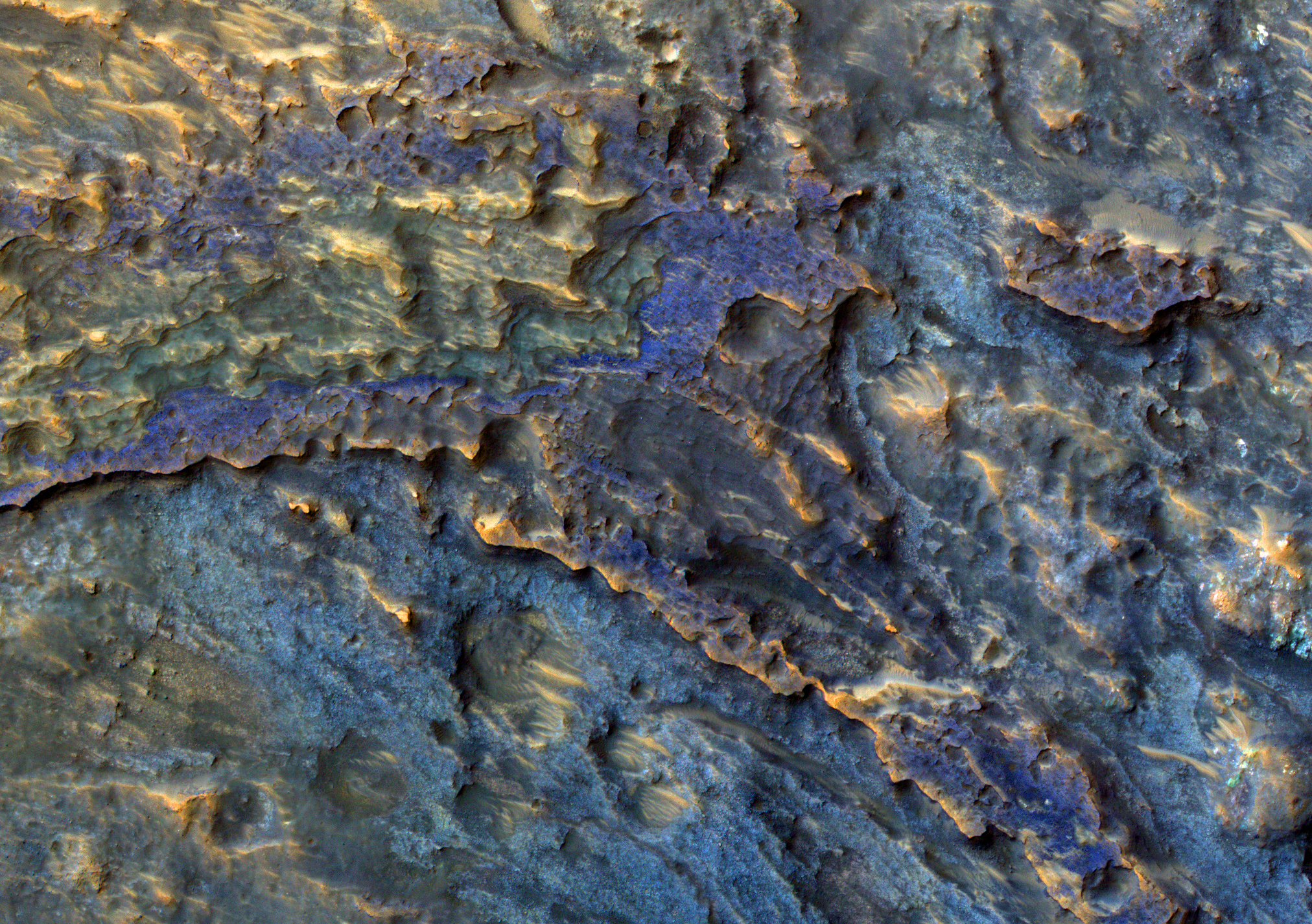
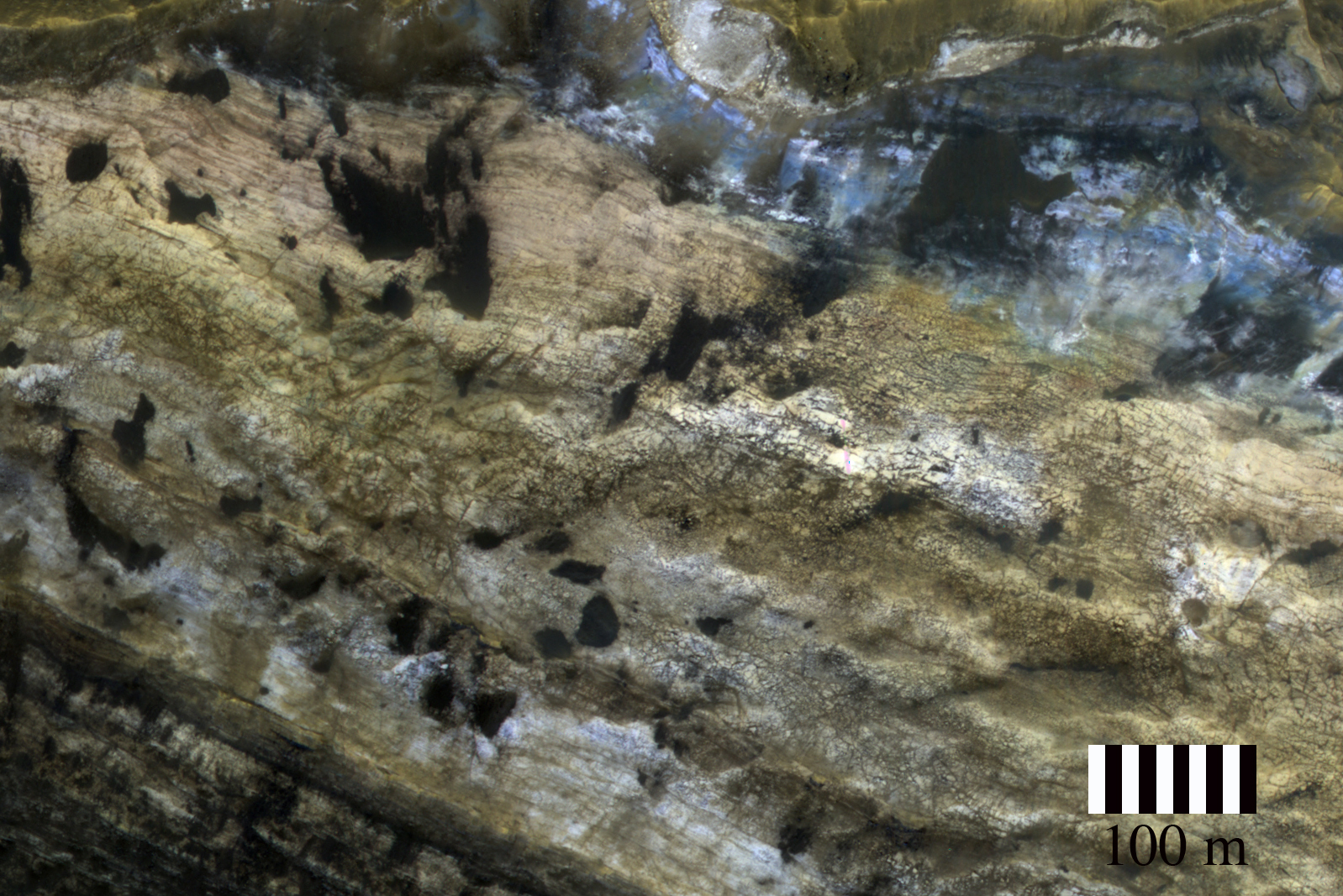
Today's Image of Mars is a close-up view of the layered deposits near Mawrth Vallis, a channel that was most likely carved by water at some point in the past. The varying tones of each layer is likely reflective of differences in mineral content. The dark patches that you see on the layers are sand dunes. 

CRISM has detected clays in the Mawrth Vallis region, so the layers may be rich in clays. Clays are another indication of past water on Mars because they are only known to form by interaction with water. Needless to say, Mawrth Vallis has consistently been a landing site candidate for proposed missions to Mars. 

This image is a subimage of a larger, captioned image by HiRISE, which you can view by clicking on this image. 

Mars Photo of the Day - Oct 26 2011

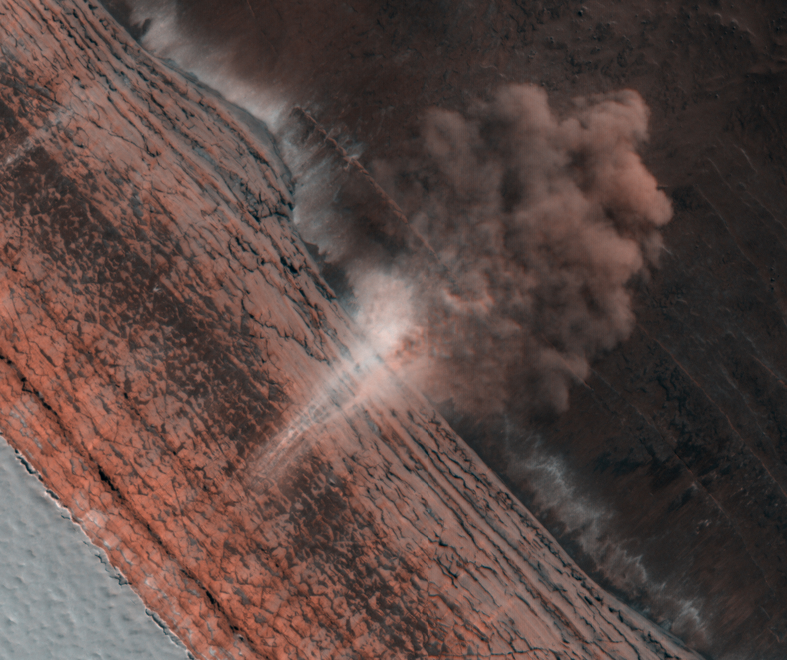
Today's Image of Mars is of an avalanche, which has kicked up a large dust cloud. This image is looking down the scarp, or cliff and shows different layered deposits typical in these features. Scientists are still uncertain as to why these avalanches occur, but they believe they could be the result of temperature changes in the layers of ice or large gusts of wind passing over the rocks.

Clicking this image will take you to the original captioned image by HiRISE.