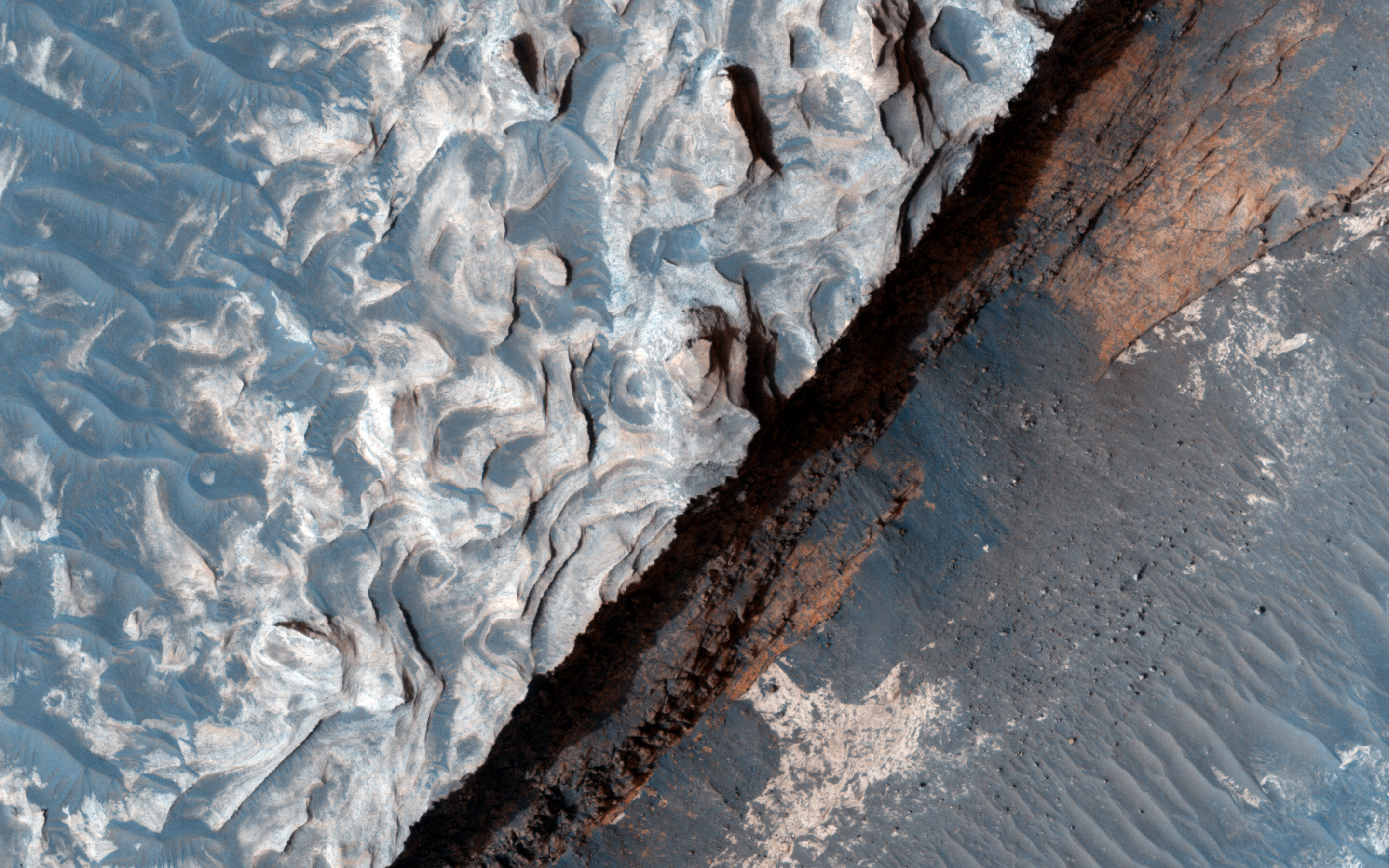
The primary source of erosion on Mars today is the wind. Scientists try to learn more about the wind and the changes it makes to the surface by studying images of Mars. To find these changes we often have to examine two pictures from a location taken at different times. This is true of the below photos taken of Aureum Chaos.
 |
| Acquired two Mars years ago. Source: HiRISE |
 |
| Source: HiRISE |
Although the above images are not exact overlays of one another, one can still pinpoint areas present in both images. Once done scientists can determine if there have been any changes or movements to material in the area. Although a preliminary look shows no changes in the past two years, a more fine-tuned examination will likely reveal minor changes.
Studying changes to the terrain allows scientists to assess the real affect of the wind on the environment. Knowing this will help us to know what we might see on the ground and what to watch out for on future prolonged missions to the surface. Imagine if you are living on Mars and you wake up one day to see rocks moved and sand displaced you might be disconcerted, but if you know about the wind you won't worry as much. Understanding how much effect the wind has on the surface also ensures that scientists take frequent images of landing areas because they know what might be a smooth area one week could be rocky terrain the next.
Studying images like the ones above ensures scientists learn the most they can about the wind on Mars and its effects on the environment.


