Google+ Mars Travel: Crater
Showing posts with label Crater. Show all posts

Colorful Crater on Mars

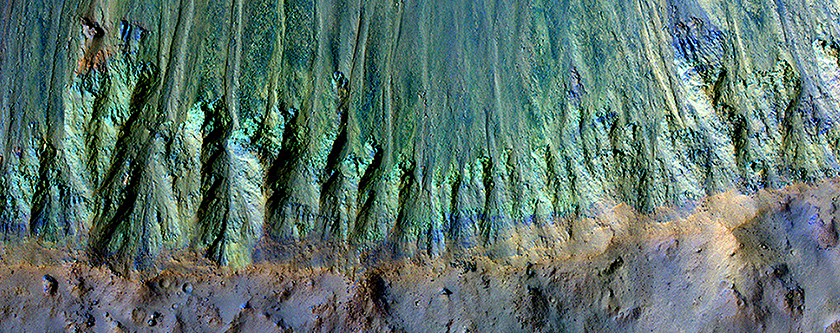
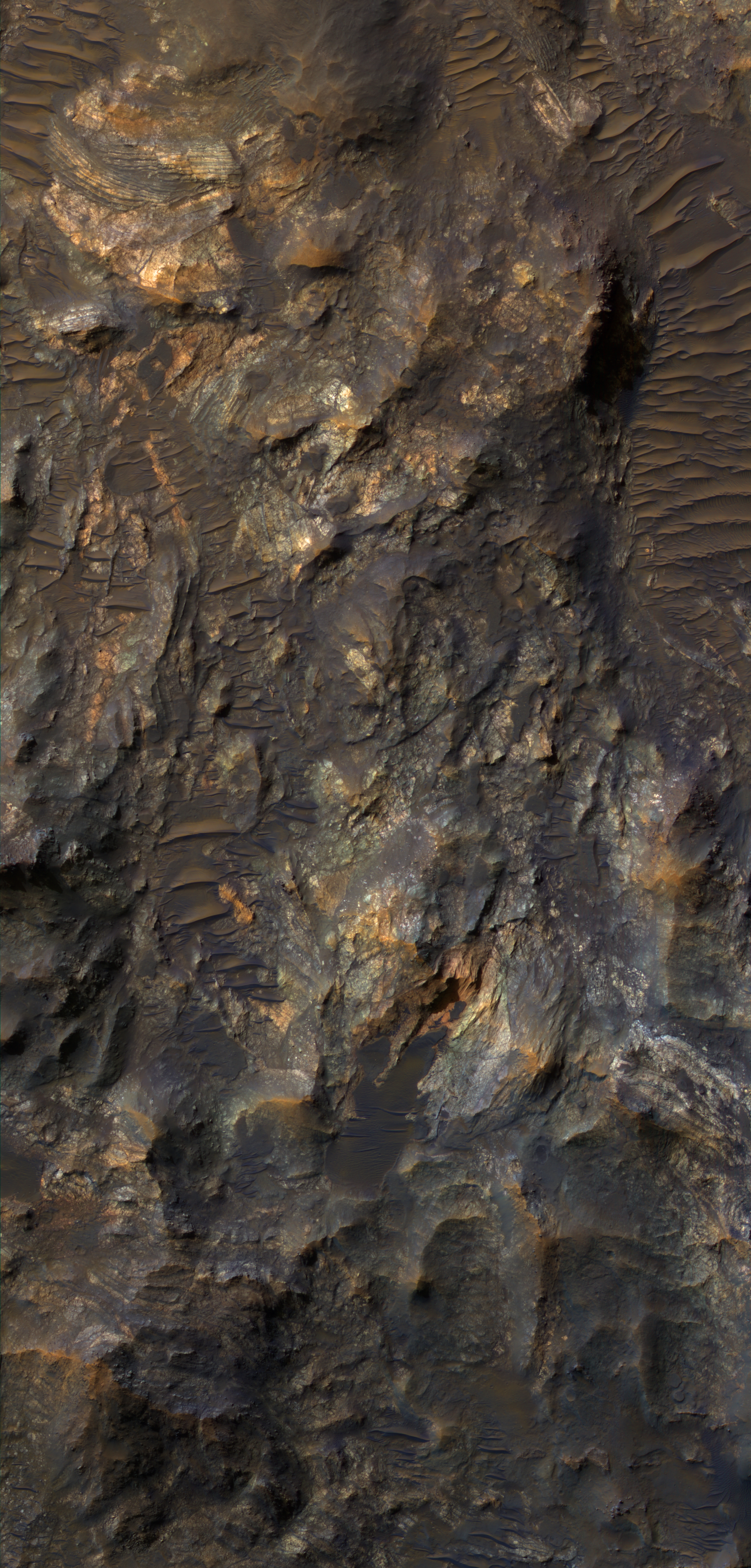
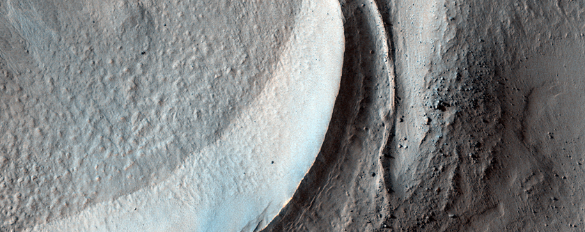
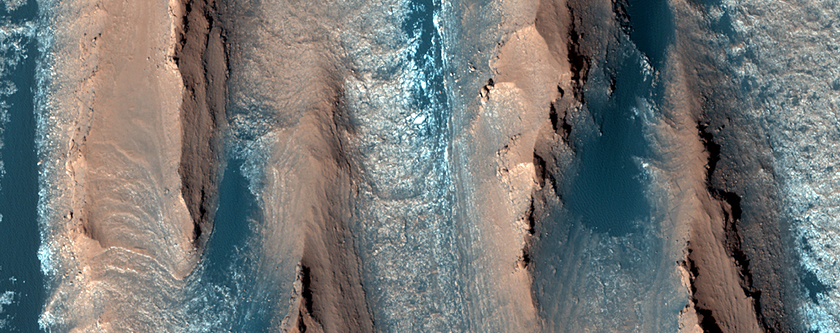
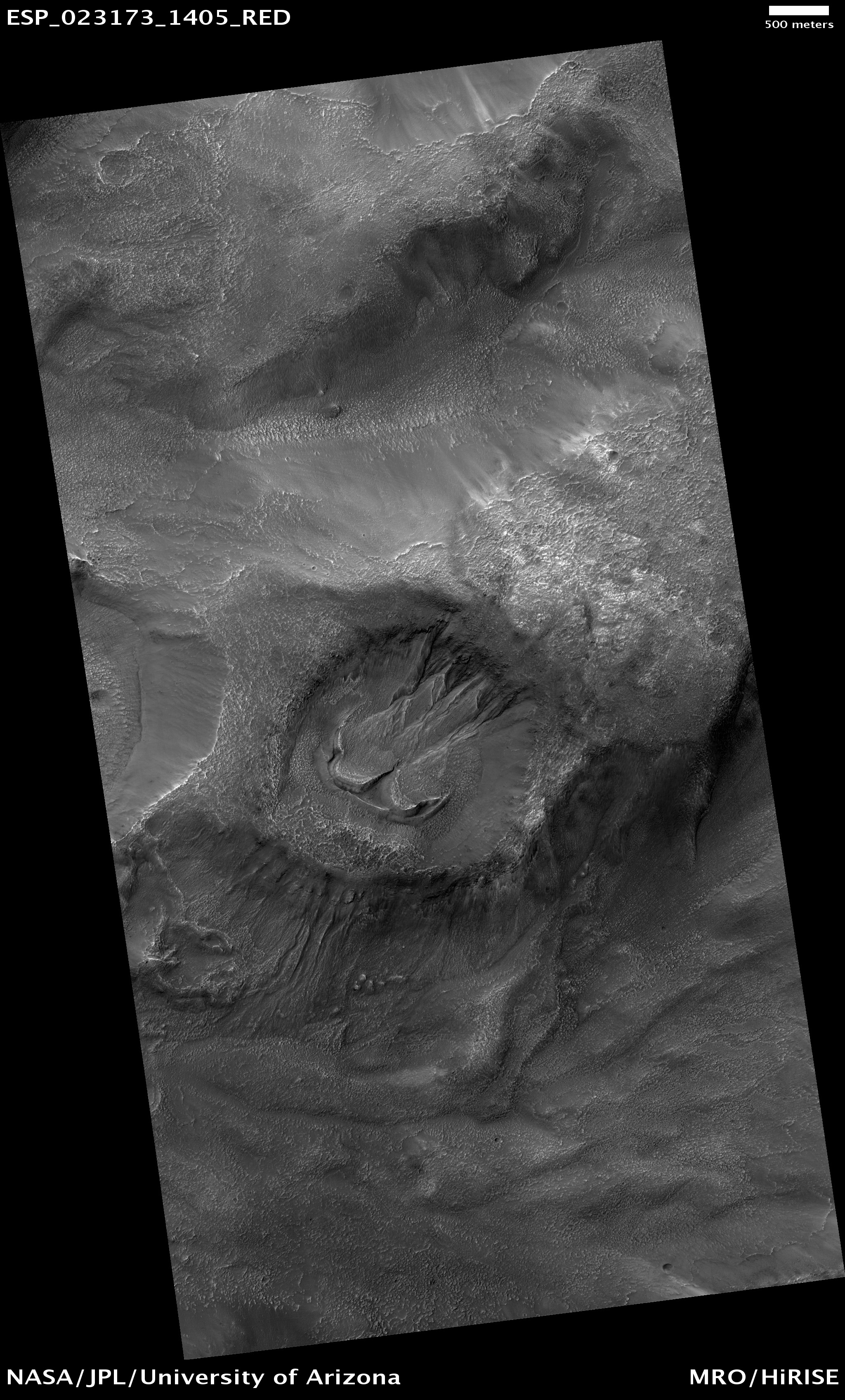
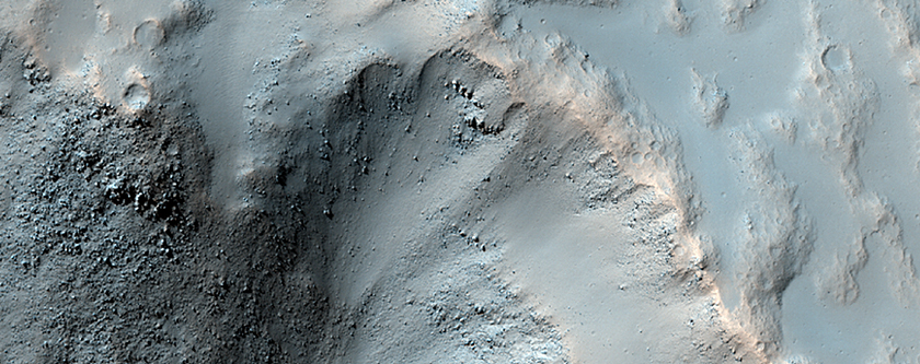
Check out these colorful images of a young, well preserved crater on Mars! When this 5km (3.1 mi) diameter crater was created it exposed a whole litany of minerals that may otherwise have been hidden under millions of years of dust build up and layered deposits.

The green (pictured bottom left) along the crater's south rim is representative of minerals like olivine and pyroxene, typically found in lava and underground magma flows. The yellow seen at the top of the image could be indicative of material changed by water, however, scientists also say it could just be a coating of dust. If the yellow material is just dust that could be indicative of a north blowing wind, which pushed the dust up against the south-facing north wall of the crater.

Click on the photo on the right to see the high resolution version from HiRISE. Click the bottom left photo to see the HiRISE caption


Mars Photo of the Day - May 17 2012

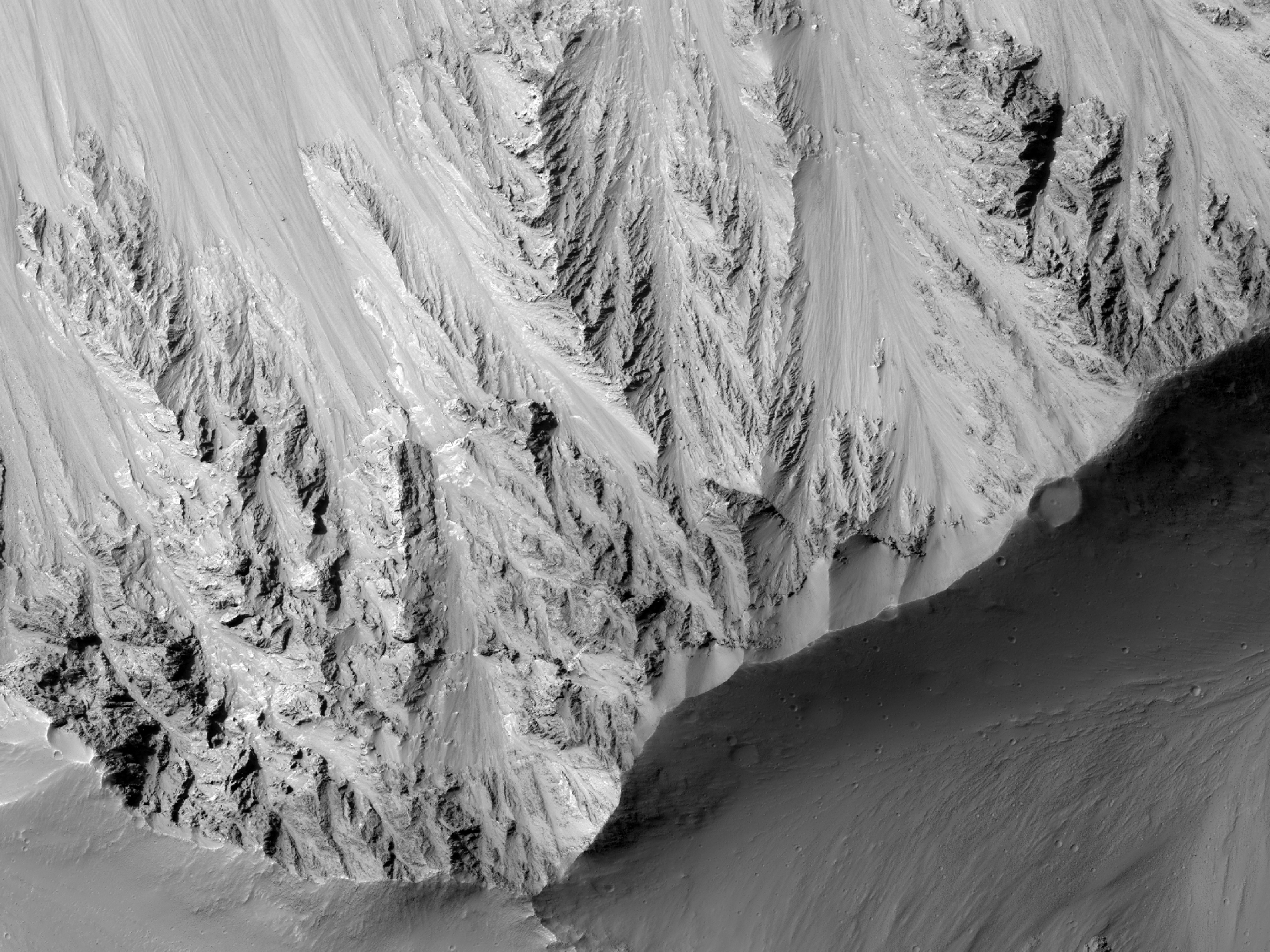
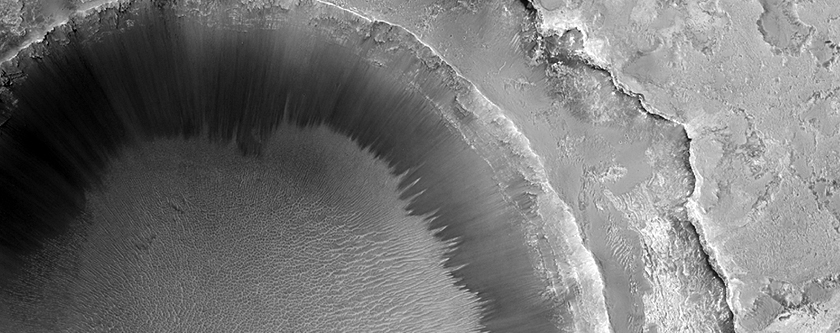
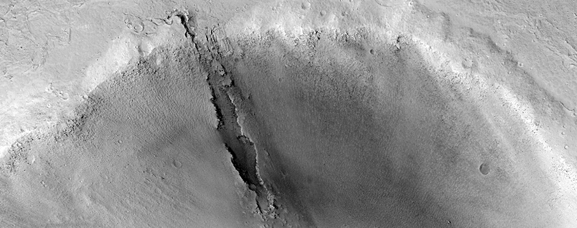
Today's Image of Mars shows the rim of an extremely recent impact crater in the Cydonia Colles Region, as taken by HiRISE. But how do we know that this is a recent impact crater?

An impact crater is deemed recent when it has a sharp rim, meaning that it is only lightly eroded. Generally crater rims undergo a process of erosion that wears away the sharpness of the rim. This occurs over hundreds of thousands, if not millions of years.

What does the term 'recent' mean?

The term recent is relative. In this case it is used in the geological sense, which means the crater could have formed tens of thousands of years ago or longer. The key is that it isn't as old and eroded as  Gale Crater or other ancient impact sites.

On Mars it can take a long time for features to change. Because there is no precipitation on present-day Mars, the wind is the only eroding element. This means that it takes a long time to wear down sharp crater rims, sometimes millions of years depending on the area.

Clicking on this image will take you to the original high resolution image from HiRISE. [See the original caption]


Mars Photo of the Day - May 16 2012

Today's Image of Mars shows a potential landing site for future missions to Mars west of Aeolis Planum, as imaged by HiRISE. Within this potential site we see numerous ridges with a general North-South orientation, which measure about 10 meters wide and 100 meters long. These ridges appear to have formed from wind, which suggests that the soil is made of fine grained sand and rocks, easily moved and oriented by the wind.

The crater that you see on the right of this image has been filled by soil, as have many other smaller crater you can see in different subimages. This implies that the bedrock underlying the top layer of windblown soil may be easily eroded. This could be the mos likely reason why there is so much sand able to form the ridges described above.

Clicking on this image will take you to the original high resolution image form HiRISE. 


Mars Photo of the Day - Apr 26 2012

Today's Image of Mars shows a relatively young crater measuring 50km in diameter. The crater has a significantly less superimposed craters than the surrounding terrain, which is how scientists determined it was a relatively recent addition to the landscape. Scientists speculate that many of the landslides we see in Valles Marineris may have occurred as a result of the impact that formed this crater, but we can never be sure.

Clicking on this image will take you to the original high resolution image from HiRISE. [See the original caption from HiRISE]


Mars Photo of the Day - Mar 30 2012

Today's Image of Mars comes from HiRISE shows a dune that lies close to an impact crater. This dune is special because it preserves the original bedform shapes of the sand dune, but lies over top of a previously eroded surface of sedimentary rock. 

Scientists are still attempting to find a dune that has been directly impacted by an asteroid, in hopes that it will help them better understand dunes and how they are formed.

Click on the image to view it in high resolution.  [See the original HiRISE caption for the image]


Mars Photo of the Day - Mar 7 2012

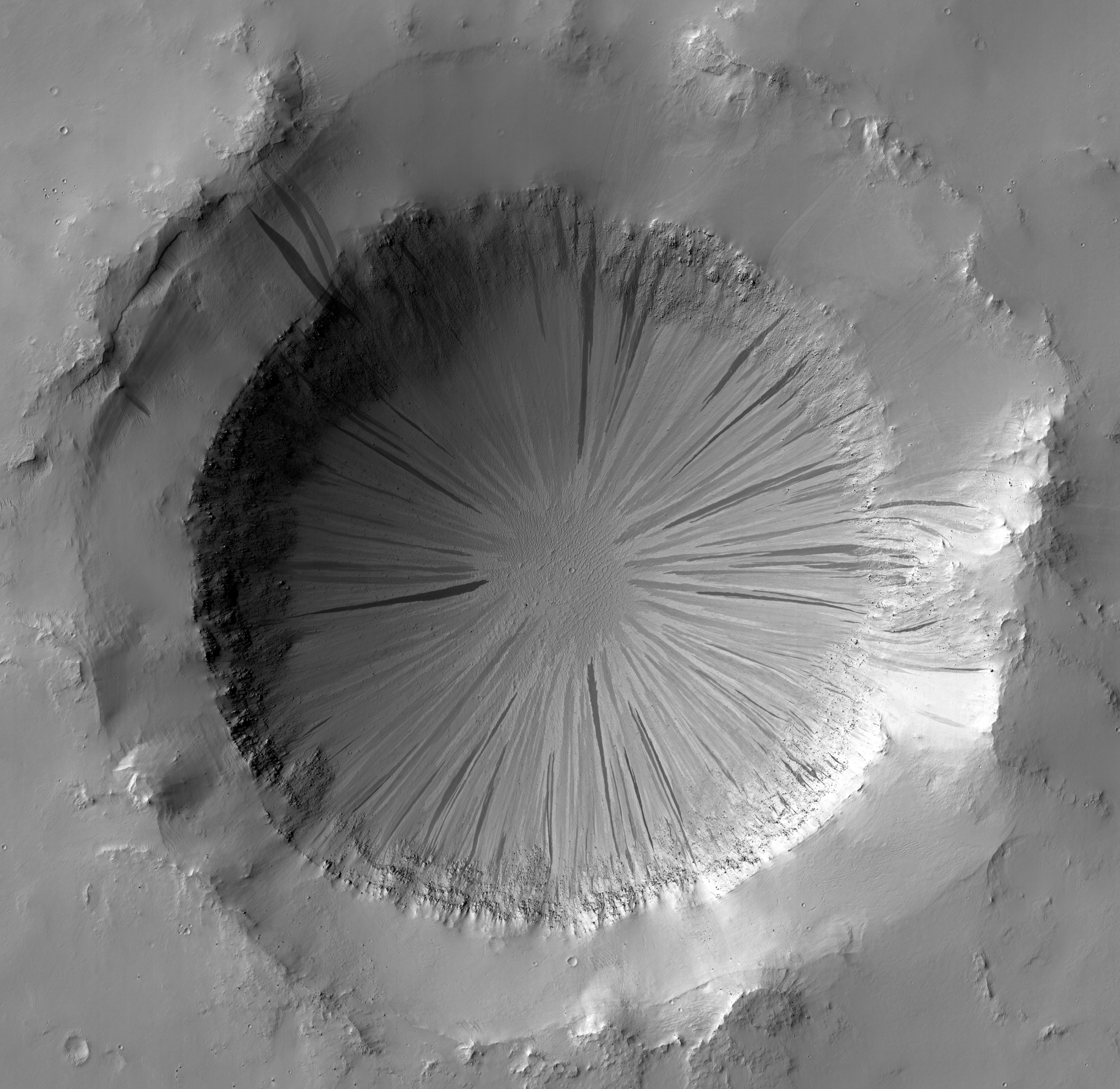
Today's Image of Mars is a dramatic example of a crater's slope streaks, as taken by HiRISE. Slope streaks often form in craters when dust and small rocks tumble down the side, but it isn't very often that we see a crater exhibiting so many well preserved streaks around its entire circumference.

Clicking on the image will take you to the original high resolution image from HiRISE. When you check it out you will see that the slope streaks are of varying shades, which indicates that the crater went through numerous episodes of streak formation.


Mars Photo of the Day - Feb 22 2012

Today's Image of Mars was taken by HiRISE and shows part of an impact crater in Terra Cimmeria that is completely cast in shadow. Terra Cimmeria is located in the southern highland region of Mars. 

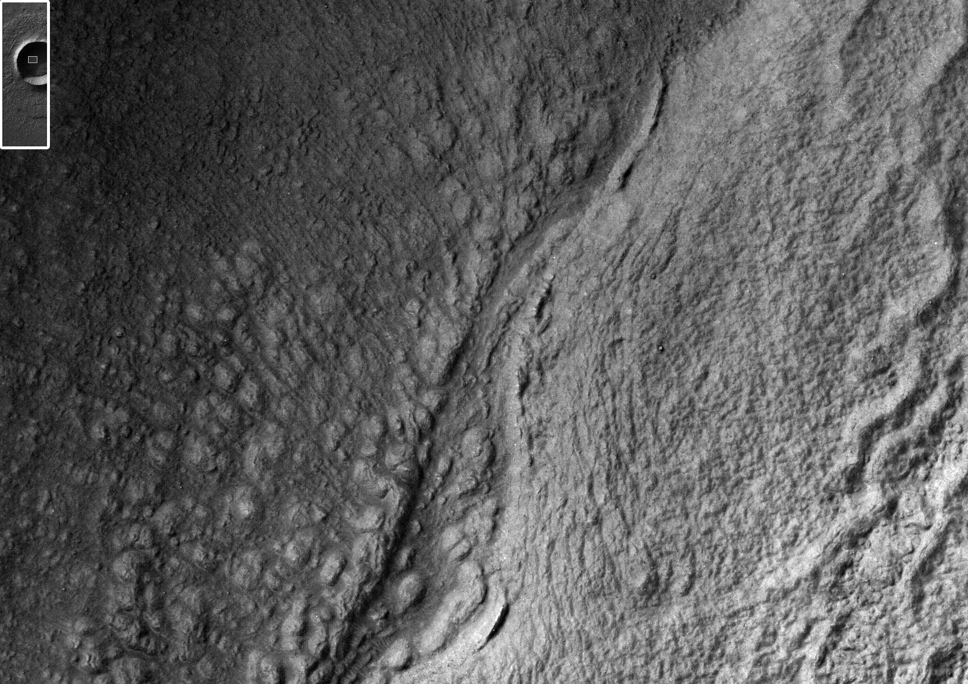
Much of the crater floor is cast in deep shadow because the sun was only 11 degrees over the horizon. The HiRISE cameras aboard the Mars Reconnaissance Orbiter are sensitive enough that they can see within most shadows. The image below shows an area completely shrouded in shadow, but HiRISE can still see features indicative of ice flow, a common finding in the southern highlands.

Clicking on this image will take you to the original image from HiRISE. [See their caption]


Mars Photo of the Day - Feb 16 2012

Today's Image of Mars comes from HiRISE and shows an uplifted jumble of ancient terrain in a crater located in the volcanic plains between Argyre Basin and Valles Marineris. Large craters often have central mounds that result from structural uplift and reveal material buried deep under the surface over the course of millions and sometimes billions of years.

Examining these central mounds allows scientists to determine the past environment on Mars by examining the composition of the layered deposits making up the mound. This is exactly what Mars Science Laboratory, Curiosity will be doing when it lands in Gale Crater this August.

Clicking on this image will take you to the original high resolution image from HiRISE. [See their caption for the image]


Mars Photo of the Day - Feb 14 2012

Today's Image of Mars is suited especially for Valentines Day! It shows a heart-shaped pit formed by a collapse within a graben. The pit imaged is about 2.3km at its widest point.

This image was taken by the Mars Global Surveyor's Mars Orbiter Camera in 1999, but it still can be used to show how much you heart your space loving Valentine!

Clicking on this image will take you to the original captioned image from the Mars Global Surveyor team!


Mars Photo of the Day - Jan 27 2012

Today's Image of Mars is from HiRISE and it shows a spectacular fluvial fan on a crater floor. The fan begins where a channel enters the crater, which suggests that it was a delta.

Deltas are formed when water enters a larger space and spreads out. When spreading out the water begins to move at a slower pace and many sediments that were caught up in the fast moving water begin to sink. Eventually those sediments sink and become deposits.

This image is further evidence that water once existed in abundance on Mars. By studying the image and others like it scientists hope to gain a better understanding of the Martian past and eventually discover what happened to all the water on Mars.

I'm actually surprised that conspiracy theorists haven't jumped on this one because the delta "looks like the side profile of a head" or something ridiculous. Just another natural formation here!

Clicking on this image will take you to the original, captioned image from HiRISE.


Mars Photo of the Day - Jan 21 2012

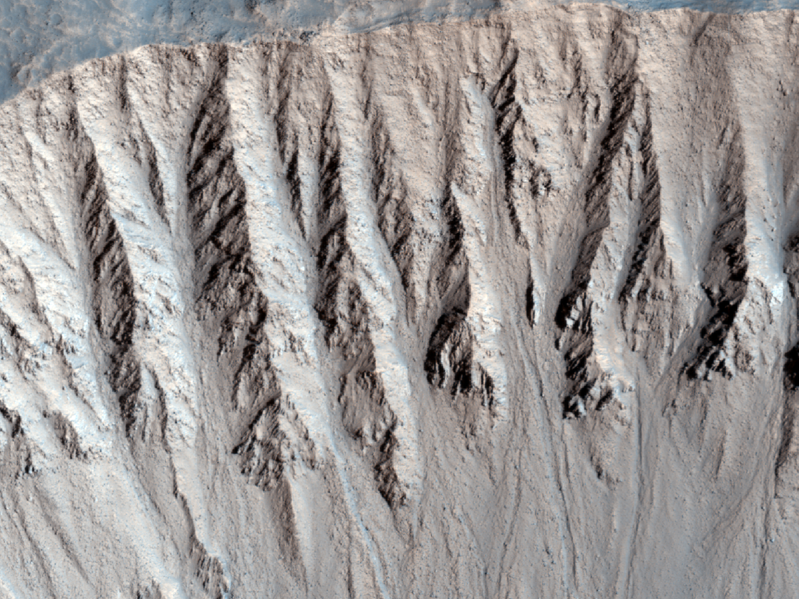
Today's Image of Mars shows some spectacularly colored gullies in a relatively fresh crater on Mars near Argyre Basin. The crater is in such pristine condition that scientists believe it was formed within the last million years or so.

You can see in this image that the gullies and their deposits have many different colors. This is because the relatively recent impact exposed many different rock types and the gullies are still active, so they have yet to be covered by windblown deposits.

Clicking on this image will take you to the original high resolution image from HiRISE. I highly recommend checking it out because it's pretty amazing. [See the HiRISE caption for the image].


Mars Photo of the Day - Jan 14 2012

Today's Image of Mars was taken in early 2007 by HiRISE after there was speculation that this crater was the landing site of the lost Beagle 2 lander.

The Beagle 2 lander detached from the Mars Express orbiter in December 2003, but  all communication was lost with the lander six days before atmospheric entry. Because there was no telemetry being sent back during its descent scientists cannot be sure where is landed. It is unlikely that the entry, descent, and landing sequence (EDL) was nominal, but just in case, the HiRISE team has been examining the area it was expected to land in hopes of finding it.

This particular image was taken in response to reports that the Beagle 2 lander had actually been found within this crater. One of the reports, from the United Kingdom's The Times referenced the Beagle 2 chief scientist, Colin Pillinger, saying
They suggest that the probe was lost because of cruel luck as it touched down in one of the worst possible places for a soft and successful landing. Rather than dropping to the surface on a flat plain, it appears to have first struck the downslope of a small crater about 18.5m (60ft) in diameter, before crashing into its opposite wall, bouncing several times around the rim and eventually coming to rest at the bottom. Even if the gas bags that were meant to cushion its impact were fully inflated, and there is some evidence that they were not, their design would not have allowed them to protect the probe properly under these unlikely circumstances.
Unfortunately these claims were unsubstantiated, as you can see from the below image of the crater in question. To this day the HiRISE team has continued to look for all the lost Mars landers, including Beagle 2 in hopes that finding them would help to understand the reason for the malfunction and allow future missions to be better prepared. 

To see surface images of all the successful Mars landers and learn about the easiest way to identify a lander simply click here or on the image below.


Mars Photo of the Day - Jan 6 2012

Today's Image of Mars shows lava flowing into a crater from two distinct flows. The 3km wide crater is located in Southwestern Daedalia Planum, which is south of Arsia Mons.

On the south (bottom) side of the crater a lava flow made contact with the raised rim of the crater, but because the lava flow was not as thick as the height of the crater rim it was not able to break through. We can tell the crater is older than the southern lava flow because the lava flow has blanketed the ejecta that normally surrounds an impact crater and it has pushed up against the rim of the crater, much like water does when it encounters a barrier.

Later, a thicker lava flow came from the north and was able to break through the rim and start filling the crater. If the rim had been a little smaller, or the lava flow thicker then the crater would have been filled.

The HiRISE team studies lava flows like the two here to determine their thickness, viscosity, and rate of movement. These measurements help scientists to determine the composition and temperature of the lava flows.

Clicking on this image will take you to a captioned variation of this one from HiRISE.

Mars Photo of the Day - Nov 10 2011

Today's Image of Mars is of gullies and lobate material in a crater in the Noreidum Montes. The area surrounding the impact site is devoid of ejecta and the crater is not as deep as one that size should be, meaning that the area was filled in.

The crater imaged below also has gullies on its northern side and extending toward the center. It also has an arc-shaped ridge inside the southern edge of the crater. This could be caused by wind erosion or accumulation of material filling the crater.

Clicking on this image will take you to the original captioned image from HiRISE.


Mars Photo of the Day - Nov 1 2011

Today's Image of Mars is a perspective view of Solis Planum, looking southeast, as taken by the High Resolution Stereo Camera (HRSC) aboard the European Space Agency's (ESA) Mars Express spacecraft on May 23 2004. In this photo you can see part of a heavily eroded crater, which has a diameter of 53km and a rim that is around 800m high.

Solis Planum is located in the mountainous Thaumasia region of Mars, just southwest of Valles Marineris.

I highly recommend clicking on this image so you can see the it full screen and zoom in. It truly is remarkable! 


Mars Photo of the Day - Oct 7 2011

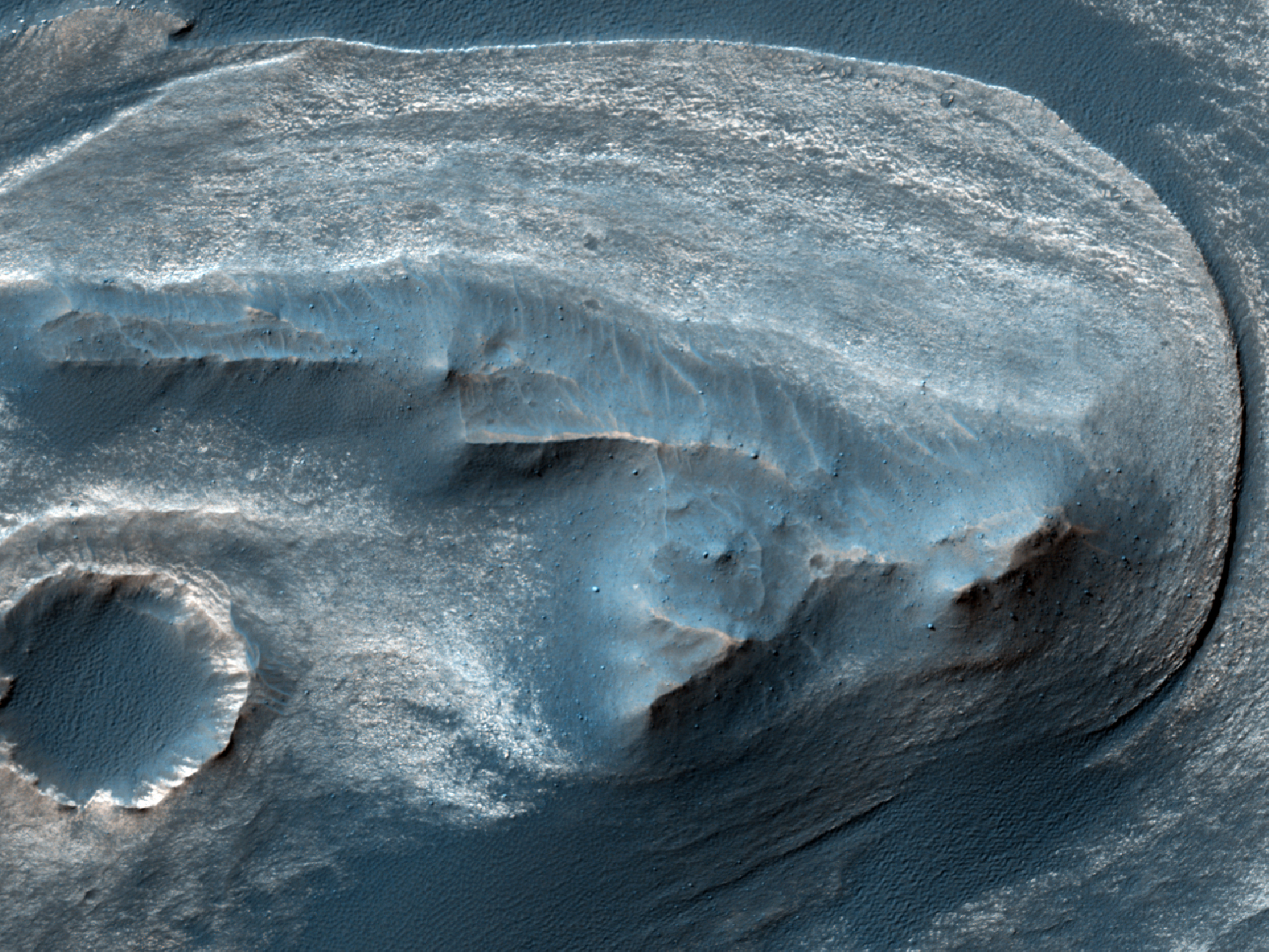
Today's Image of Mars is of an unnamed crater with a 'bench' surrounding it located in Sinus Meridiani. The 'bench' is formed because the surface layers are more easily eroded than the older underlying materials that make up the rest of the crater.

This photo links to the original captioned image by HiRISE.


Mars Photo of the Day - Sept 28 2011

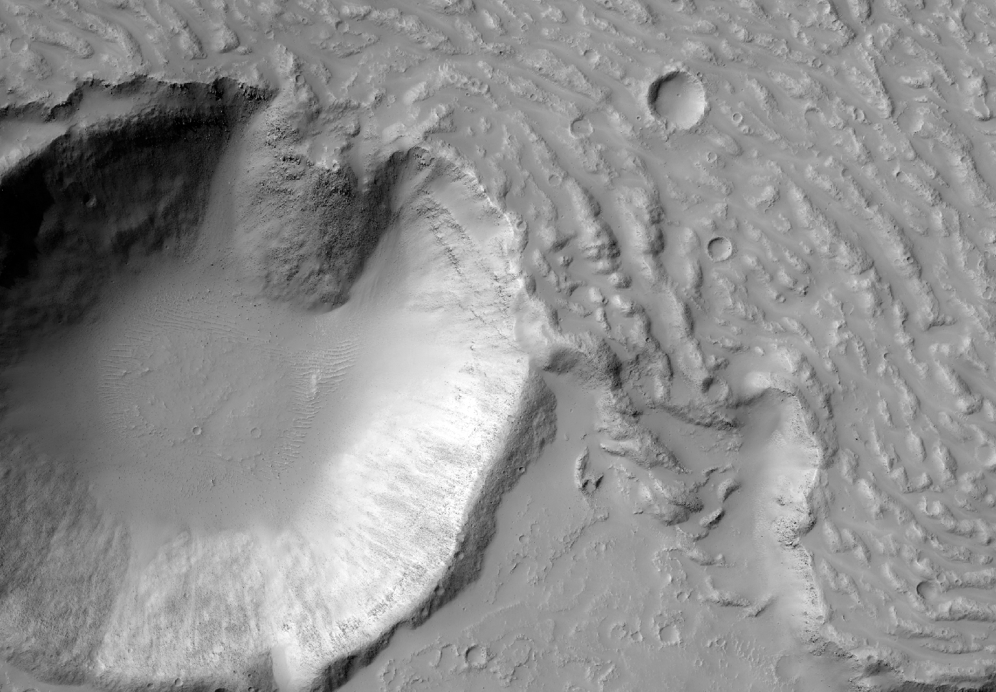
Today's Mars Photo was taken by Mars Reconnaissance Orbiter's HiRISE camera and shows the floor of a large degraded crater. But what are you seeing? The terrain seen is called yardangs which form when erosion is primarily caused by wind. 
Yardangs are identifiable by the multiple sharp ridges that are oriented in a similar way. The darker areas are low areas where dark sand is present in between the ridges. The sharp ridges are shaped by the heavy wind that has eroded them over millions of years.
Clicking the image will take you to the original image with a caption provided by the HiRISE team.

Mars Photo of the Day - Sept 15 2011

Today's Mars Photo was recently taken by Mars Reconnaissance Orbiter's HiRISE camera. The image shows an impact crater in  eastern Elysium Planitia, a relatively flat expanse of land. Lava flows have filled in most of the plains, thus removing evidence of most impact craters in the area. This crater is so remarkable because it is surrounded by the youngest ever large lava flow discovered on Mars, the Athabasca Valles flood lava. Scientists can watch this crater as it becomes completely filled, like thousands before it in Elysium Planitia. The lava flow has created the channel seen here, through which more lava travels as it fills the crater.

This photo is almost the same size as the original image, so instead clicking on it will take you to the brief explanation of the photo found on the HiRISE website.

Mars Photo of the Day - Sept 13 2011

Today's Mars Photo is of a crater in Nereidum Montes as taken by the CTX camera on the Mars Reconnaissance Orbiter. The crater has numerous gullies on its southwest walls and rim. There are also two instances of ear-shaped (lobate) material that is associated with gullies within the crater. This features provide additional evidence that water once existed in excess on Mars. It is hoped that a link between the lobate material and interior gullies can be firmly established when HiRISE takes more hi-resolution images of the crater.

Click on the image below to see the original, full page photo from the HiRISE site.

Mars Photo of the Day - Sept 9 2011

'Today's Mars Photo is of Holden and Eberswalde Crater as taken by the European Space Agency's (ESA) Mars Express Orbiter. Holden crater is on the left and measures 140 km across, whereas Eberswalde Crater, on the right, measures 65 km in diameter. The rim of Eberswalde Crater is only intact on the right side because it was covered by the ejecta from the impact that created Holden Crater.

Mars Express recently found evidence that indicates a huge lake once existed in Eberwalde Crater. This photo gives some perspective as to the crater's surroundings. Click the image to see it enlarged and in high resolution. 

Taken by Mars Express on August 15 2009.