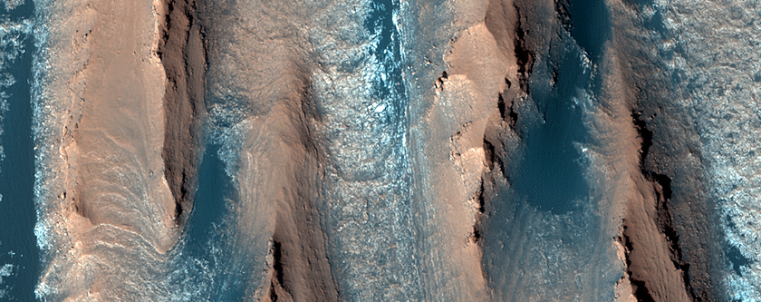
Today's Mars Photo was taken by Mars Reconnaissance Orbiter's HiRISE camera and shows the floor of a large degraded crater. But what are you seeing? The terrain seen is called yardangs which form when erosion is primarily caused by wind.
Yardangs are identifiable by the multiple sharp ridges that are oriented in a similar way. The darker areas are low areas where dark sand is present in between the ridges. The sharp ridges are shaped by the heavy wind that has eroded them over millions of years.
Clicking the image will take you to the original image with a caption provided by the HiRISE team.


0 comments:
Post a Comment