Google+ Mars Travel: Barchan dunes on Mars
Showing posts with label Barchan dunes on Mars. Show all posts

Mars Photo of the Day - Feb 23 2012

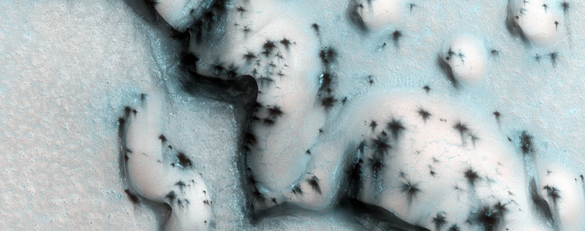
Today's Image of Mars shows some defrosting barchan dunes in the North Polar Region of Mars. Dunes like these are useful in determining the direction of the wind because the side facing the wind becomes more eroded, resulting in a sheer, less rounded face. The wind also creates horn-like features oriented in the oriented in the direction the wind predominantly blows.

This image was taken by HIRISE in the northern spring season on Mars, when the carbon dioxide ice has begun to sublimate.The dunes look speckled because the ice has sublimated in patches, revealing the dark soil underneath. The ice on the floor between the dunes has not begun sublimating because the sand underneath is not as dark as the dunes and so it takes longer to heat up.

Clicking on this image will take you to the original captioned image from HiRISE!

Mars Photo of the Day - Jan 11 2012

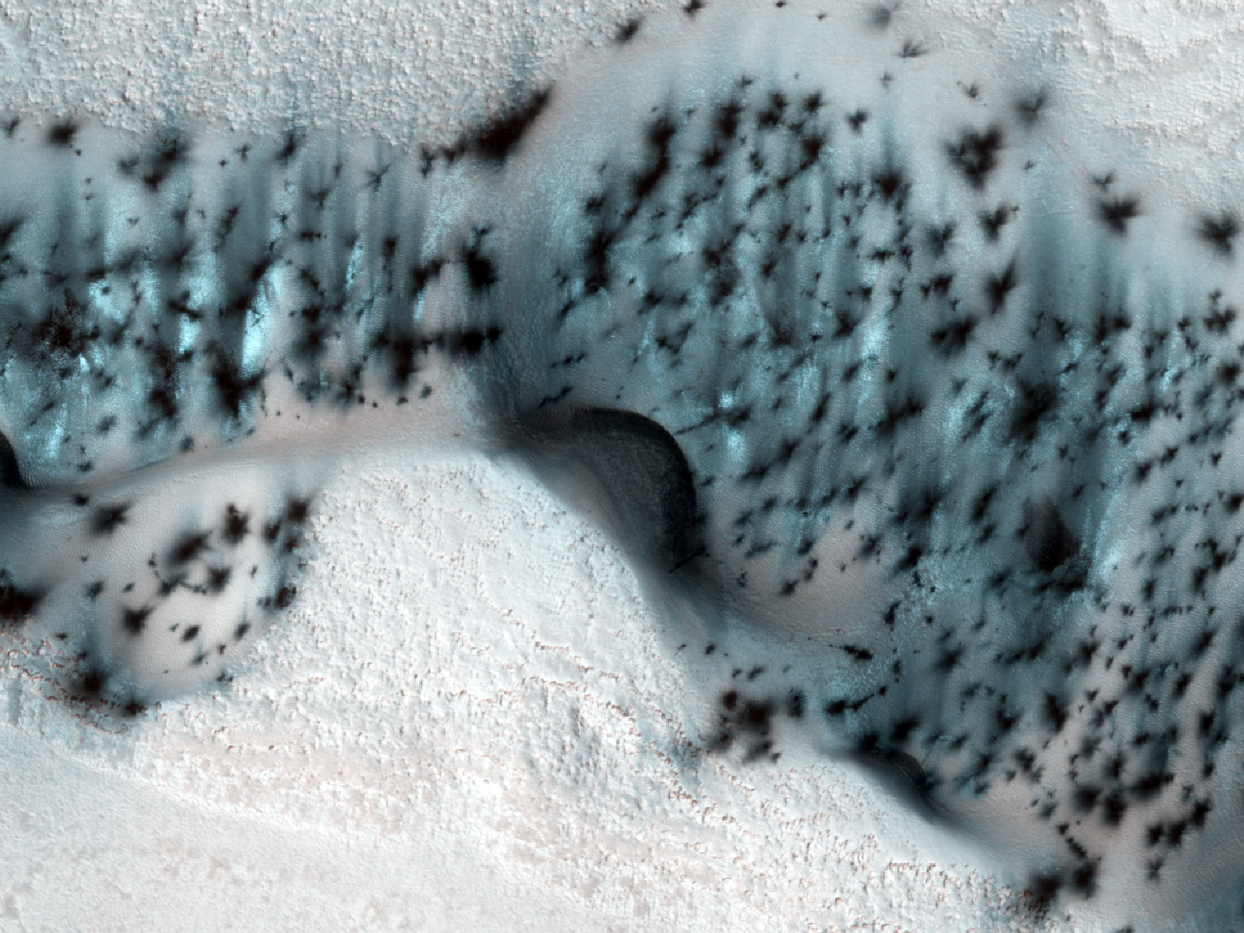
Today's Image of Mars shows the Martian equivalent of terrestrial barchan dunes, which are usually crescent shaped and formed by winds blowing in one uniform direction. These dunes are located in the North Polar region of Mars.

Dunes like these are useful in determining the direction of the wind in this region of Mars because the side facing the wind becomes more eroded, resulting in a sheer, less rounded face. The wind also creates horn-like features oriented in the direction the wind predominantly blows. 

In this image the carbon dioxide ice on the dunes is just beginning to sublimate, revealing the dark basaltic sand underneath. The north polar Martian winter is just ending so most of the ground is still covered in the carbon dioxide ice, but by the time summer arrives it will have fully thawed, leaving the ground as dark as the patches in this image.

Clicking on this image will take you to the original, captioned HiRISE image.


Mars Photo of the Day - Nov 17 2011

Today's Image of Mars is of Maunder Crater, which lies in the Noachis Terra region of Mars. Maunder Crater is 90km in diameter, but barely 900m deep because it has been filled in by surrounding sediments. The western side of the crater (bottom of this image) collapsed in on itself an and the resultant landslide transported loose material eastward into the crater. The landslide resulted in the formation of hummocky terrain, identifiable by irregularly-shaped hills and valleys.

But what are the eye-catching black marks at the center of the crater?

These 500 to 2500 meter long features are called Barchan dunes, which are among the most common dune forms in arid environments. In fact, similar dunes are found in dry areas on Earth, like in Western Africa's Namib Desert. 

This image was compiled from three images taken by the High Resolution Stereo Camera (HRSC) aboard the Mars Express. The image below links to the original, full page, high resolution image. The image is so detailed I highly recommend you click on it because it is stunning.