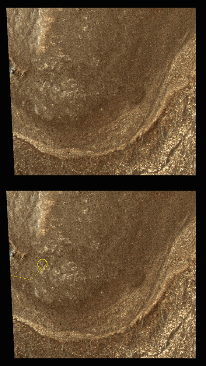
Today's Image of Mars is of Maunder Crater, which lies in the Noachis Terra region of Mars. Maunder Crater is 90km in diameter, but barely 900m deep because it has been filled in by surrounding sediments. The western side of the crater (bottom of this image) collapsed in on itself an and the resultant landslide transported loose material eastward into the crater. The landslide resulted in the formation of hummocky terrain, identifiable by irregularly-shaped hills and valleys.
But what are the eye-catching black marks at the center of the crater?
These 500 to 2500 meter long features are called Barchan dunes, which are among the most common dune forms in arid environments. In fact, similar dunes are found in dry areas on Earth, like in Western Africa's Namib Desert.
This image was compiled from three images taken by the High Resolution Stereo Camera (HRSC) aboard the Mars Express. The image below links to the original, full page, high resolution image. The image is so detailed I highly recommend you click on it because it is stunning.