Google+ Mars Travel: landslide on Mars
Showing posts with label landslide on Mars. Show all posts

Mars Photo of the Day - 4 Jul 2012

Today's Image of Mars shows how drastically one impact can change the Martian landscape. Scientists believe that one impact near the edge of Noctis Labyrinthus set off an enormous landslide into the canyon. The landslide spans over 25 km, bigger than most of the other landslides within this canyon. What was the source of this landslide?
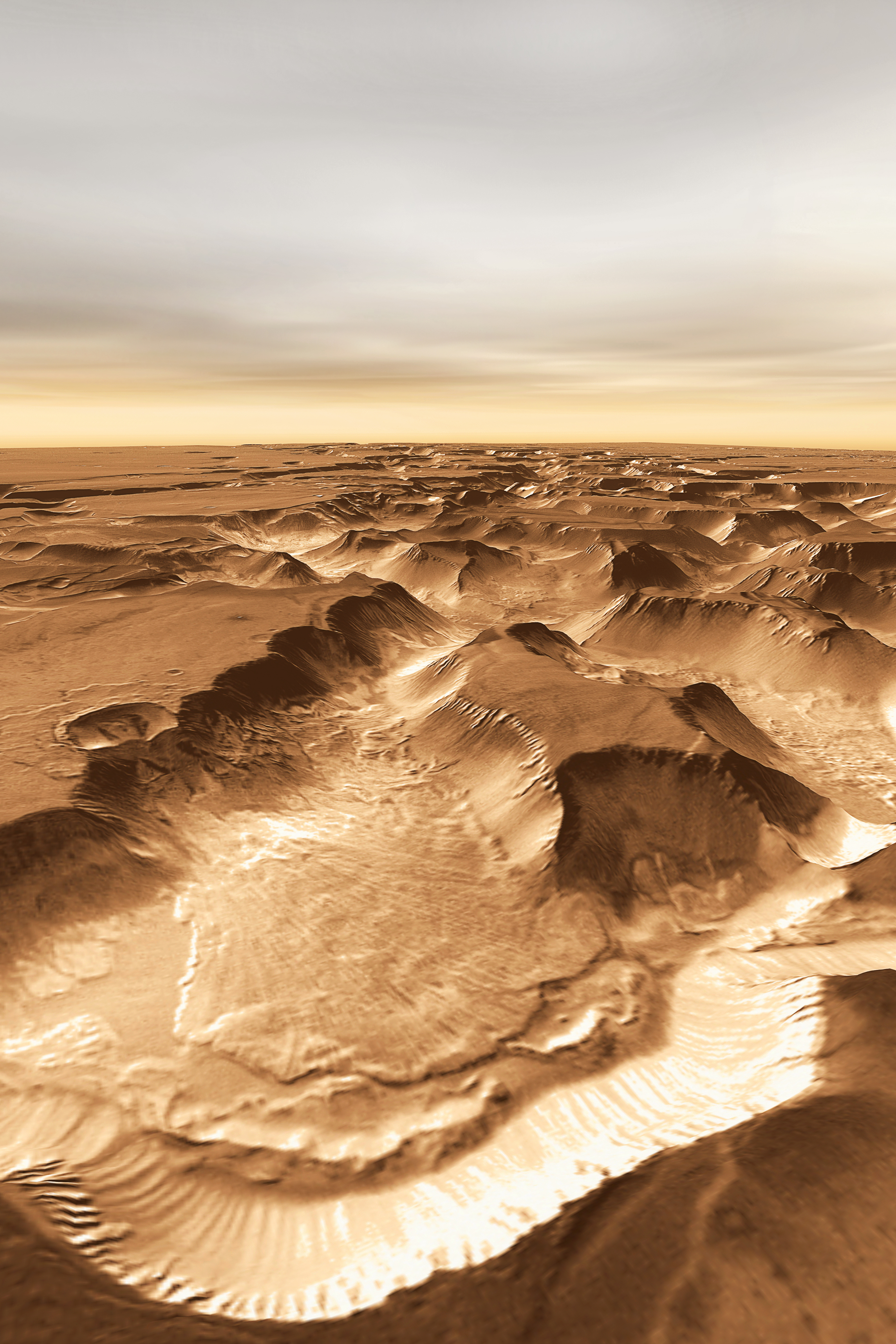
Click to see high resolution image from THEMIS.
Credit: NASA/JPL/Arizona State University, R. Luk.

There is an approximately 6km wide crater (left center) that scientists speculate caused the massive landslide. This just goes to show that Mars is an ever changing environment and that new discoveries can be made everyday. What one day may look like a boring slab of rock, could the next day be struck by an asteroid, revealing something magnificent and never before seen.

Throughout the course of the planets history Mars has been impacted millions of times by asteroids and comets. On occasion these impacts have ruptured underground water reservoirs, causing water to flood the surface. While this has not happened in recent history, scientists speculate that these underground aquifers still exist on Mars today, which means that at any time one of them could crack, spilling massive amounts of water onto the surface. While the possibility of that happening is very small, it is just that, a possibility.

Let us hope that one day an asteroid does rupture an underground water reservoir because that might get people interested in Mars again, which would mean that we'd get more funding for future missions!
Mars Photo of the Day - Apr 20 2012

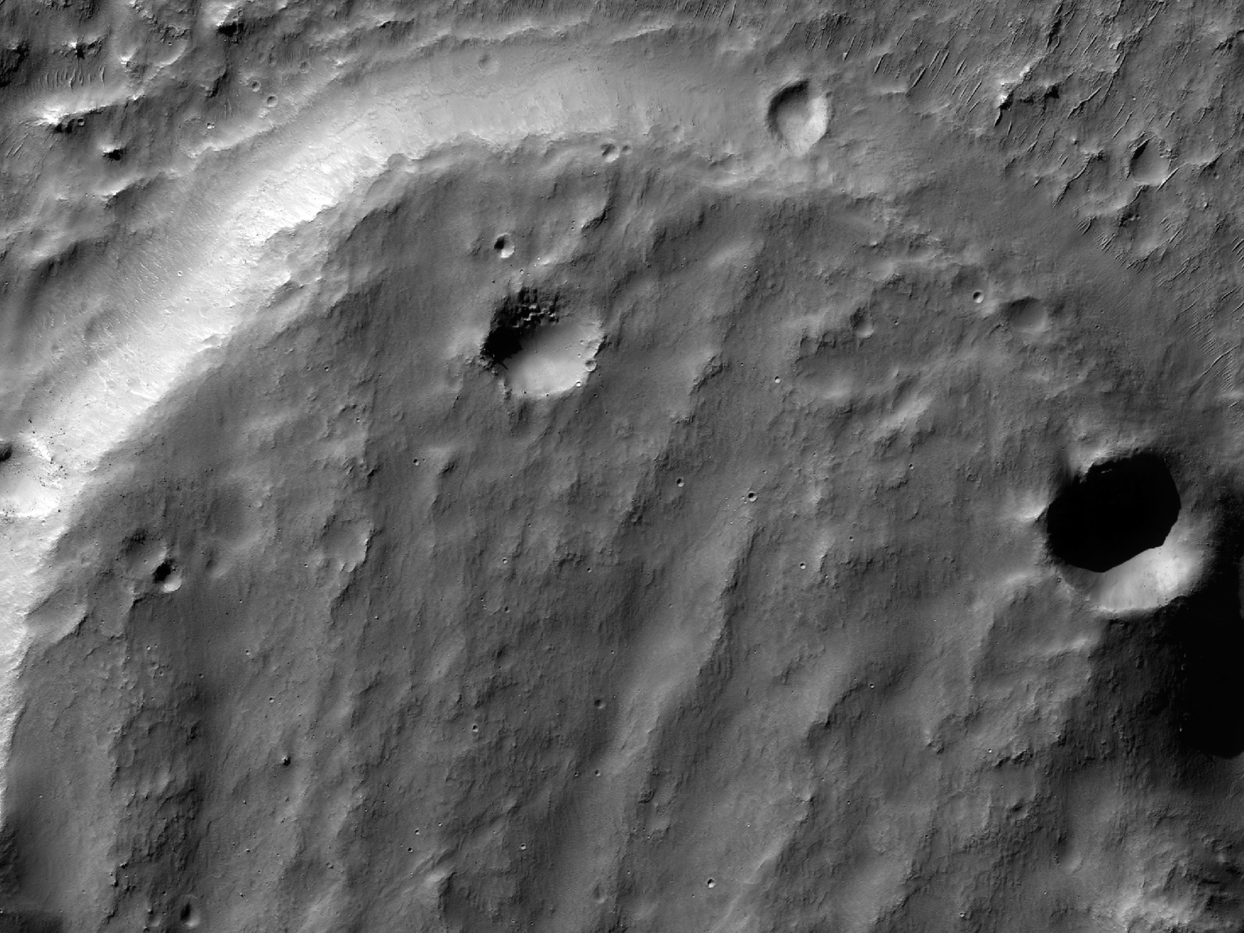
Today's Image of Mars shows landside lobes in a crater on Mars, as taken by HiRISE aboard the Mars Reconnaissance Orbiter. The southwest side of the crater has at three landslide lobes.

Scientists have determined that the landslides occurred long after the formation of the crater because there are few overlying craters on the lobes than the rest of the surrounding surface. Scientists speculate that the landslides were created by tectonic activity either created by asteroid impacts or faulting in the crust.

Clicking on this will take you to the original captioned image from HiRISE.


Mars Photo of the Day - Nov 17 2011

Today's Image of Mars is of Maunder Crater, which lies in the Noachis Terra region of Mars. Maunder Crater is 90km in diameter, but barely 900m deep because it has been filled in by surrounding sediments. The western side of the crater (bottom of this image) collapsed in on itself an and the resultant landslide transported loose material eastward into the crater. The landslide resulted in the formation of hummocky terrain, identifiable by irregularly-shaped hills and valleys.

But what are the eye-catching black marks at the center of the crater?

These 500 to 2500 meter long features are called Barchan dunes, which are among the most common dune forms in arid environments. In fact, similar dunes are found in dry areas on Earth, like in Western Africa's Namib Desert. 

This image was compiled from three images taken by the High Resolution Stereo Camera (HRSC) aboard the Mars Express. The image below links to the original, full page, high resolution image. The image is so detailed I highly recommend you click on it because it is stunning.