Google+ Mars Travel: Mars landforms
Showing posts with label Mars landforms. Show all posts

Mars Photo of the Day - Nov 25 2011

Today's Image of Mars is of crescent shaped depressions on the surface created by strong winds.  The Earth equivalent are called blowouts, but occurrences on Mars are much larger than those on Earth. This image is from North Azimuth on Mars, but there are many similar features in other parts of Mars. 

On Mars, wind is the currently the primary cause of erosion. [How strong are the winds on Mars?] There is evidence that water helped shape much of the Martian surface, but over billions of years Mars is now devoid of the massive seas, rivers, and lakes that once played a part in shaping the planet.

This image links to the original image page from Mars Odyssey's THEMIS.


Mars Photo of the Day - Aug 24 2011

Today's Mars Photo is of  Ophir Chasma, the northern most connected valleys of Valles Marineris, a huge canyon system that is 5,000 km (~3106 mi) long. Ophir Chasma is about 100 km (62 mi) wide and 317 km (197 mi) long and bordered by high-walled cliffs, which are thought to be faults. For more details on the image and to view the original, just click the image. 
Taken by Viking 1 Orbiter
Credit: NASA/JPL/USGS

Mars Photo of the Day - Aug 23 2011

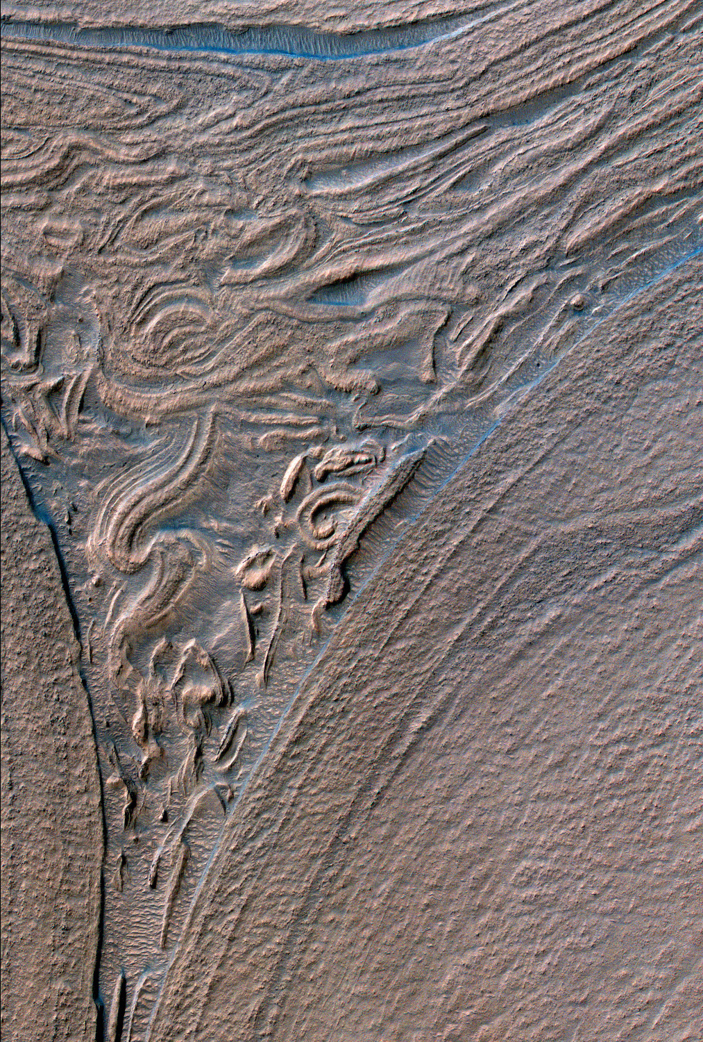
Today's Mars Photo is of the floor of Hellas Basin, as taken by Mars Reconnaissance Orbiter's HiRISE camera on December 26, 2009. These are just some of the many fascinating landforms found on Mars. Click the image to see the original HiRISE Image.