Google+ Mars Travel: Mars Lava flow
Showing posts with label Mars Lava flow. Show all posts

Mars Photo of the Day - Apr 12 2012

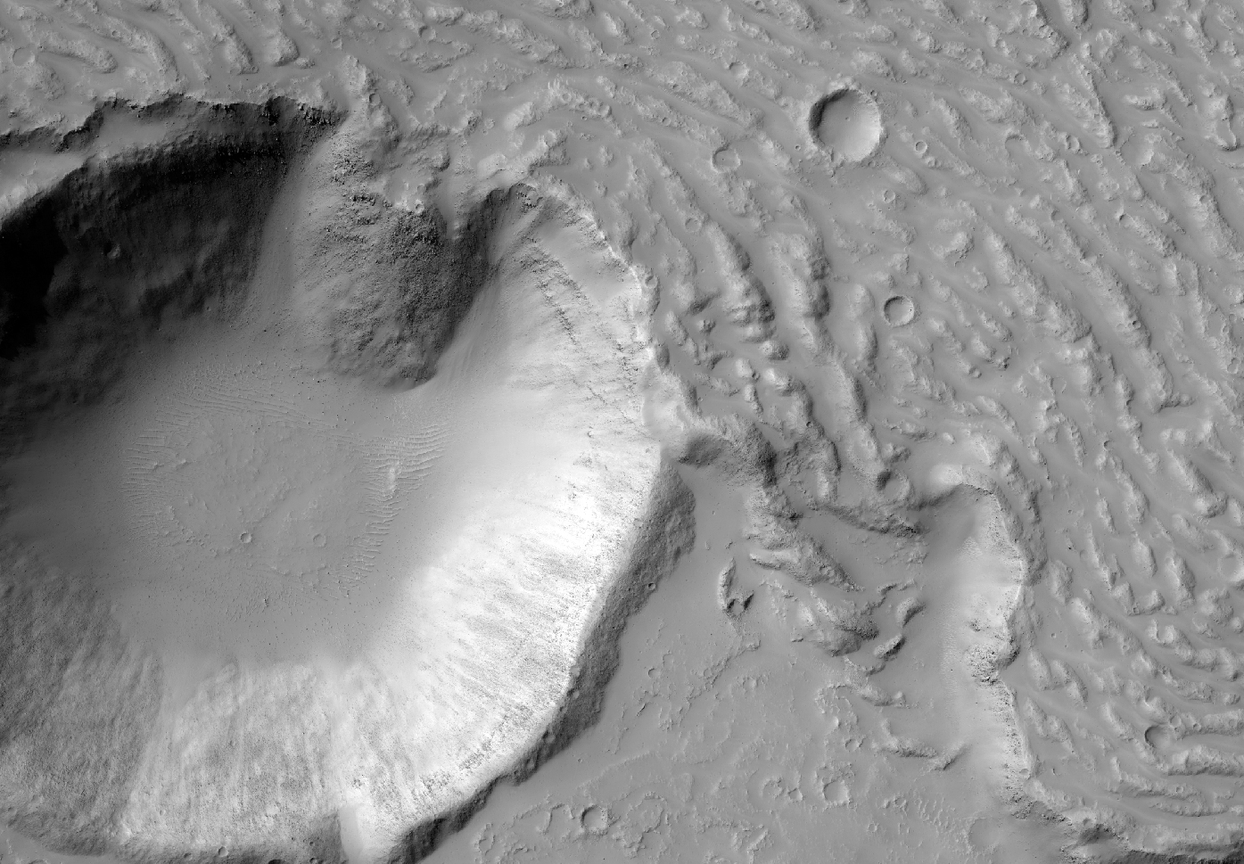
Today's Image of Mars was taken by HiRISE in order to examine the topography of an area in Cerberus Fossae that is thought to be the source of liquid that flooded the surface long ago. Scientists have long speculated that the water erupted from a ruptured underground reservoir and flooded the area, but recently some scientists have speculated that the channels and other features associated with a flood could have been created by lava, and not water at all.
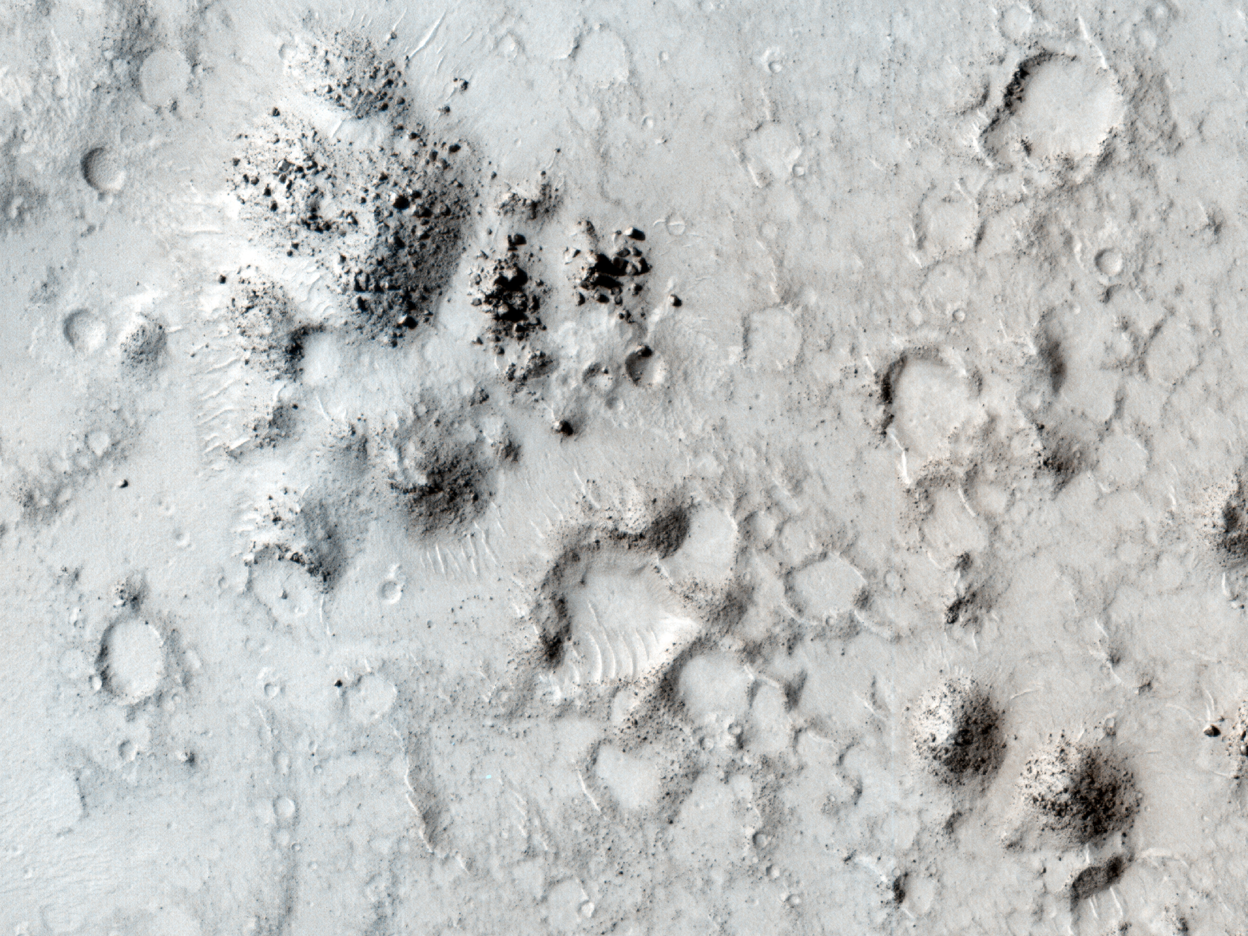
Click the image to see the original hi-res image from HiRISE
[See the original HiRISE caption]

The reason for this newfound speculation is that over top of the features carved by the flood lies a layer of lava. This leads some people to wonder if there was any water involved at all, since a flood of lava could have created similar features. 

The problem for scientists comes with proving either theory because the lava layer that coats all the features hinders our orbital intruments from determining what lies beneath. If underneath the layer of lava are sedimentary layers that would imply that water was involved, which deposited and compacted the sediments. However, if there are no sedimentary deposits then the "no water" theory would be given some credence since most large quantities of flowing water leave sedimentary evidence behind.

My vote goes for the terrain being carved by a flood of water, which retreated back under the surface or evaporated when the climate changed on Mars. The area then likely experienced volcanic activity and was covered by a large lava flow. But anything is possible, so its important to keep an open mind!

See All Mars Photo of the Day Posts!

Mars Photo of the Day - Mar 18 2012

Today's Image of Mars comes from THEMIS and shows a filled crater in the Tharsis Quadrangle. The only indication that this had once been a crater is what remains of the rim.

Before a crater becomes filled like one below the lava must break through the raised rim by pushing through gaps or weaknesses. Once it does this the lava pours into the crater, widening the gap in the rim and filling the crater. 

Clicking on the image will take you to the original high resolution version from THEMIS. 


Mars Photo of the Day - Mar 4 2012

Today's Image of Mars comes from Mars Express and shows part of Syrtis Major, an area that once experienced intense volcanic activity. Syrtis Major is so large (1300 x 1500 km) that it can be spotted from Earth with even small telescopes.

By examining the number and size of craters in Syrtis Major, scientists have been able to determine that it is approximately 3 billion years old. New images of Syrtis Major show numerous lava flows that covered much of the original, ancient terrain, but the lava flows were forced around high, steep buttes, or isolated hills that could not be entirely engulfed by the lava flow. 

Clicking on this image will take you to the original high resolution image from the ESA, but I highly recommend checking out their article on Syrtis Planum.


Mars Photo of the Day - Jan 6 2012

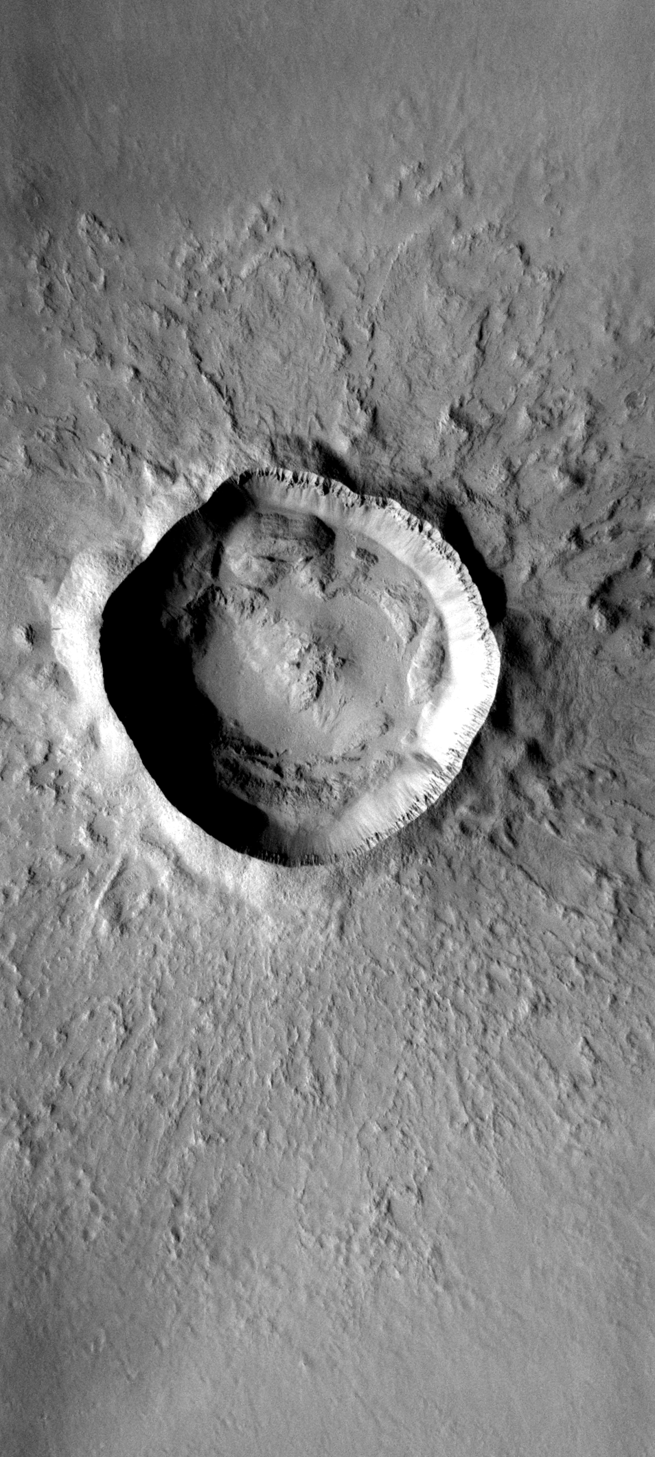
Today's Image of Mars shows lava flowing into a crater from two distinct flows. The 3km wide crater is located in Southwestern Daedalia Planum, which is south of Arsia Mons.

On the south (bottom) side of the crater a lava flow made contact with the raised rim of the crater, but because the lava flow was not as thick as the height of the crater rim it was not able to break through. We can tell the crater is older than the southern lava flow because the lava flow has blanketed the ejecta that normally surrounds an impact crater and it has pushed up against the rim of the crater, much like water does when it encounters a barrier.

Later, a thicker lava flow came from the north and was able to break through the rim and start filling the crater. If the rim had been a little smaller, or the lava flow thicker then the crater would have been filled.

The HiRISE team studies lava flows like the two here to determine their thickness, viscosity, and rate of movement. These measurements help scientists to determine the composition and temperature of the lava flows.

Clicking on this image will take you to a captioned variation of this one from HiRISE.

Mars Photo of the Day - Jan 3 2012

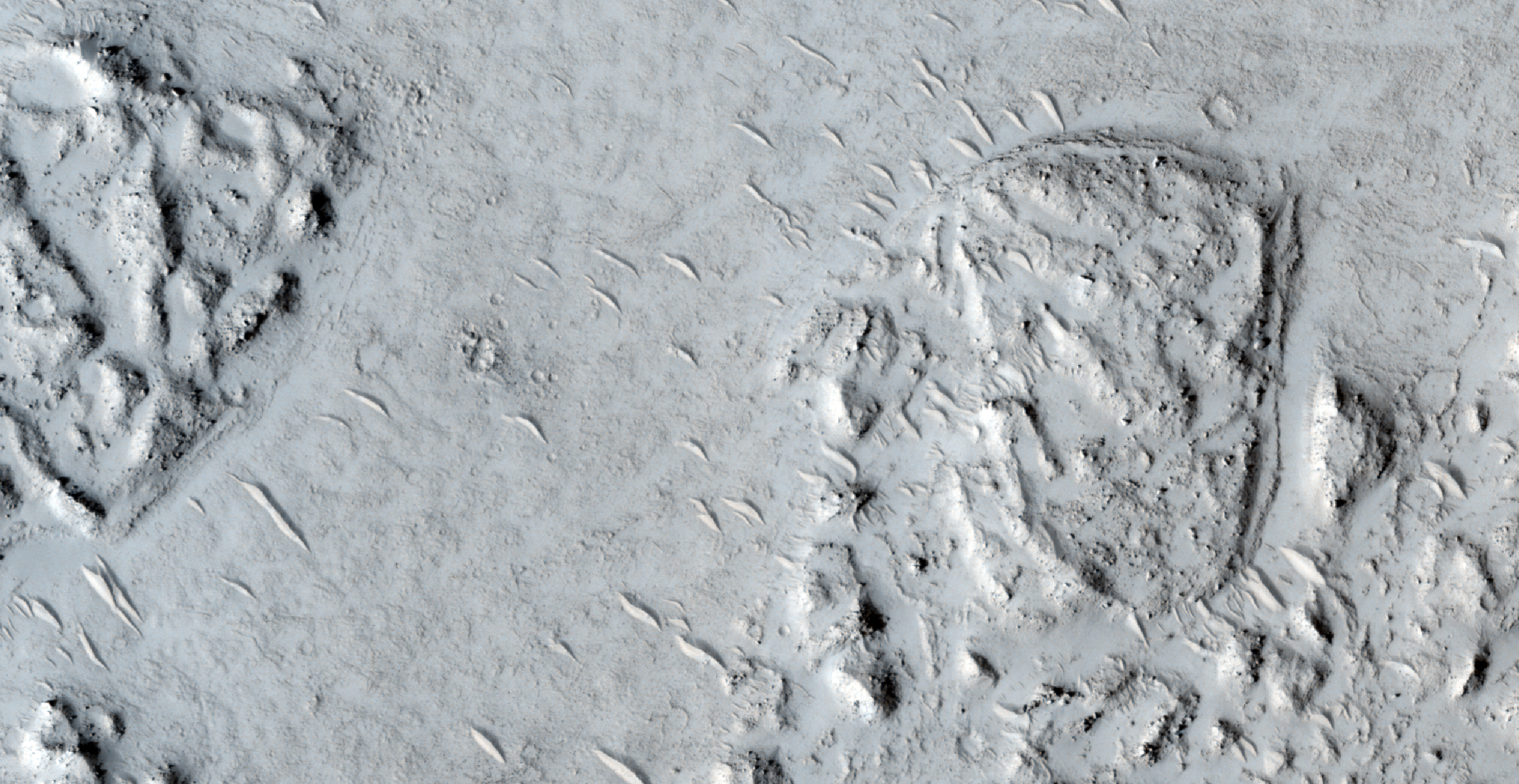
Today's Image of Mars shows a volcanic vent in Elysium Planitia, but what it also shows is two distinctly different types of lava. To the north (top) you can see a darker lava flow. This is actually the edge of one of the youngest lava flows on Mars, which coursed through the Athabasca Valles channel system.

The rest of the image is covered in lighter lava that is much older and worn than the dark lava encroaching from the north. The most prominent feature in this image is the volcanic vent in the center of the image. It was through these pits and troughs that enormous amounts of lava was once expelled. The strange depressions surrounding the vent are likely the result of erosion from lava pooling and draining back into the vent.

Clicking on this image will take you to the original hi-resolution image from HiRISE. I highly recommend exploring it! [See the HiRISE caption for a subimage of the one below]


Mars Photo of the Day - Dec 27 2011

Today's Image of Mars shows Zunil Crater, located in Mars' Cerberus Plains, the youngest (least cratered) large lava plain on Mars. This 10km in diameter crater was created just a few million years ago. The impact is thought to have created 10 million secondary craters measuring 10m in diameter or larger. These secondary craters reach as far as 1600km.

It is thought that the Zunil impact crater could be the source of many shergottites, or meteorites from Mars that fall to Earth. Shergottites from two different periods (1.5 and 2.7 million years ago) are known to exist.

This image was taken by Mars Odyssey Orbiter's THEMIS camera. Clicking on the image will take you to the original THEMIS page.


Mars Photo of the Day - Dec 8 2011

Today's Image of Mars shows fractured mounds on the southern edge of Elysium Planitia. These are just some of the many mounds found in the south of Elysium Plantilla. On average these mounds measure a few kilometers wide and about 60 meters high. By analyzing the fractures that appear on the mounds scientists have been able to determine that the mounds were pushed up from below. 

These mounds are peculiar for Elysium Planitia, which is a generally flat area, owing to large lava flows that have covered most crater and land forms (but not all). Scientists speculate that these mounds are actually solidified lava because they join and share a common texture with the flood lavas that cover all of Elysium Planitia. 

This image was taken by HiRISE in 2008. if it looks strange, that's because it is actually a 3-D image. To see it in 3-D relief you will need to use red-blue glasses. Don't have 3-D glasses? Fortunately Amazon has them for only $0.16 (Plus S&H)! Viewing images of Mars in 3-D allows you to see just how magnificent Mars really is! It is definitely worth the small investment!

Clicking on the image below will take you to a brief article on the image from NASA.


Mars Photo of the Day - Nov 22 2011

Today's Image of Mars is of a crater filled in by lava flows from the volcano Arsia Mons, one of the northern most Tharsis volcanoes. 

What's amazing about this crater is the fact that the rim remains almost entirely intact.  Oftentimes all evidence of an impact will be erased by a lava flow, but not in this case. The lava flows surrounded this crater and eventually broke through the crater rim, filling it to the same level as the surrounding terrain, but the rim is still distinct.

Clicking this image will take you to the original captioned image from Mars Odyssey Orbiter's THEMIS.

Source: THEMIS

Mars Photo of the Day - Nov 2 2011

Today's Image of Mars is of a lava flow coming from the southwest that has been constricted between two obstacles. These two obstacles could be ridges or hills. 

Scientists can determine the viscosity, thickness, and strength of the lava flow by how it reacts with obstacles. By determining the properties of the lava flow scientists can then determine the composition of the lava.

This image links to the larger image by HiRISE.

Mars Photo of the Day - Oct 15 2011

Today's Image of Mars is of Athabasca Valles, an outflow channel on Mars created by catastrophic flooding. The source of water for the flooding is most likely Cerberus Fossae, a series of fissures and scarps on the surface of Mars. 

It's difficult to tell how long ago the floods in Athabasca Valles occurred because they have almost entirely been covered by a lava flow the size of Oregon. This lava flow is considered the youngest discovered on Mars and is believed to have developed during the Amazonian Epoch, around 3 billion years ago.

This image links to the original captioned image from Mars Odyssey Orbiter's Thermal Emission Imaging System (THEMIS).


Mars Photo of the Day - Oct 11 2011

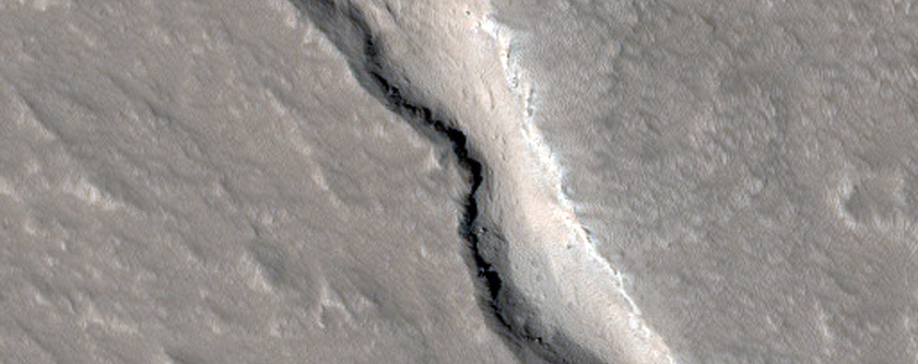
Today's Image of Mars shows a lava flow on Olympus Mons' northwestern side. This is just one example of the many lava flows on the solar system's largest volcano. Flows like these occur when lava pushes through the ground and leaves a path behind it. Many of the lava flows on Mars are currently inactive and thus leave behind hollow tubes like this one, though some are still active

This image links to the original image from HiRISE, though they have not currently provided a caption.


Mars Photo of the Day - Sept 15 2011

Today's Mars Photo was recently taken by Mars Reconnaissance Orbiter's HiRISE camera. The image shows an impact crater in  eastern Elysium Planitia, a relatively flat expanse of land. Lava flows have filled in most of the plains, thus removing evidence of most impact craters in the area. This crater is so remarkable because it is surrounded by the youngest ever large lava flow discovered on Mars, the Athabasca Valles flood lava. Scientists can watch this crater as it becomes completely filled, like thousands before it in Elysium Planitia. The lava flow has created the channel seen here, through which more lava travels as it fills the crater.

This photo is almost the same size as the original image, so instead clicking on it will take you to the brief explanation of the photo found on the HiRISE website.