Google+ Mars Travel: outflow channel
Showing posts with label outflow channel. Show all posts

Mars Photo of the Day - May 31 2012

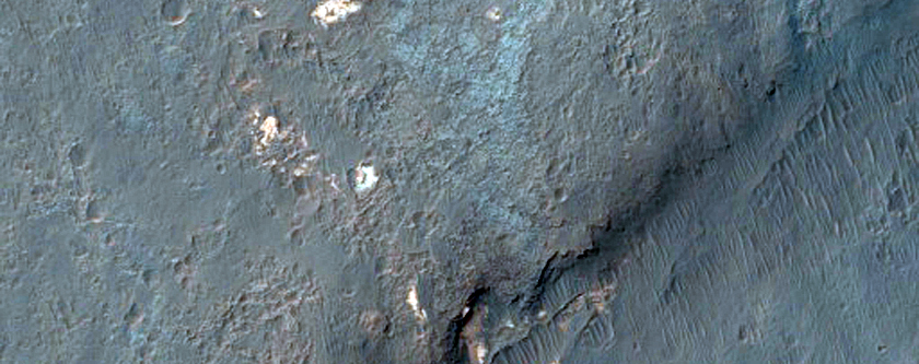
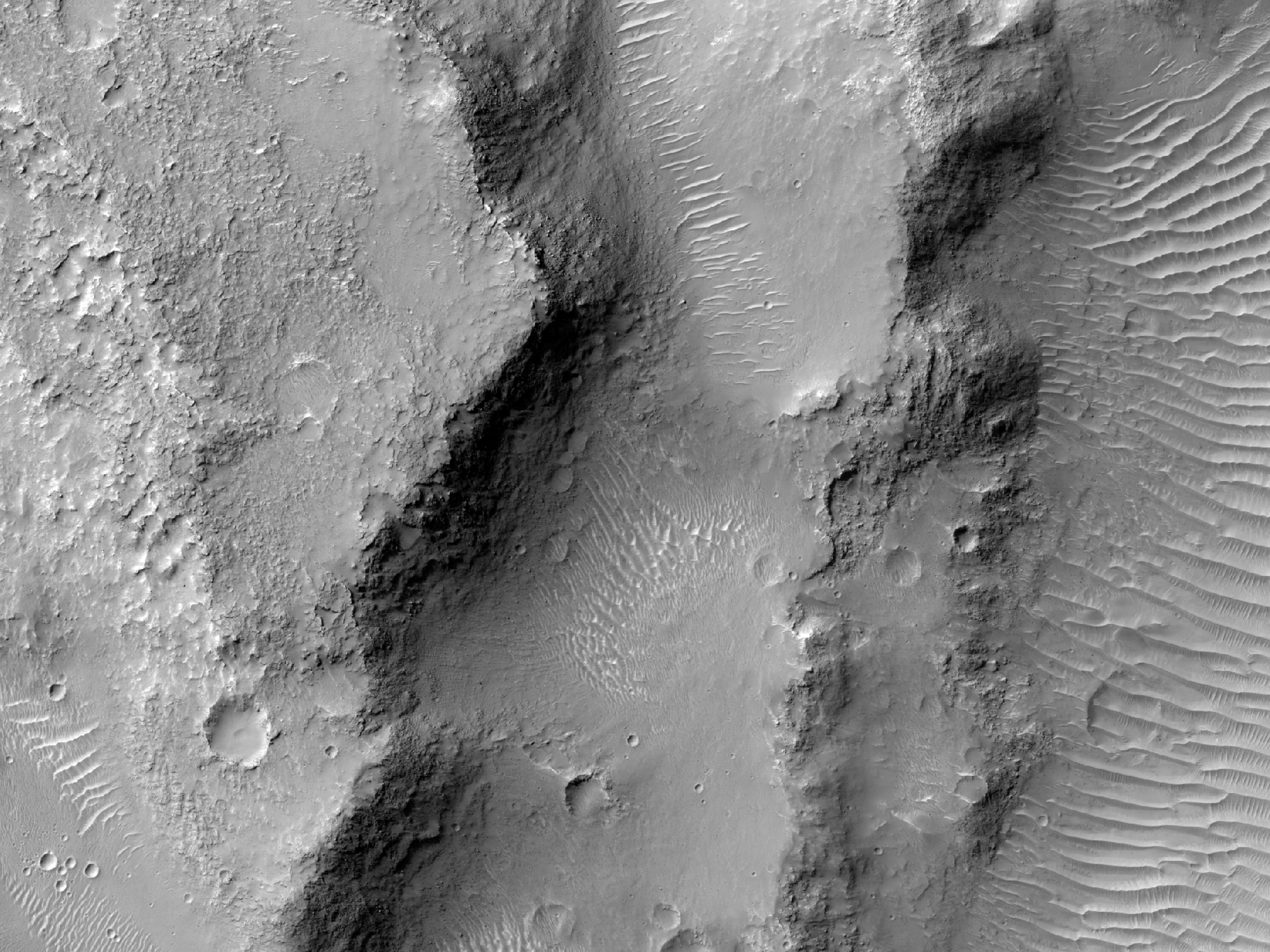
Today's Image of Mars shows a location near the mouth of Morava Valles, as imaged by HiRISE. Morava Valles is an outflow channel that scientists speculate was formed when Ladon Basin overflowed and sent water rushing toward the chaotic terrain to the north of Ares Valles.

There are other valleys/riverbeds that seem to emerge from Ladon Basin. Something they all have in common are the layers exposed on the surface. As you can see in the image below these layers can be very distinct. Further study of these layered deposits will help scientists to verify that they were deposited by flowing water. Scientists may also be able to determine when the layers began getting deposited and when they stopped being formed. Determining this will allow us to get a better idea of when water was present on Mars, and how long it lasted on the surface.

Click on this image to see the original high resolution image from HiRISE.


Mars Photo of the Day - Feb 26 2012

Today's Image of Mars comes from Mars Odyssey Orbiter's THEMIS and shows Mangala Valles, which was created when Mangala Fossae released a torrent of ground water, carving out the 900km valley we see below.

There is substantial evidence that Mars once had, and may still have underground ice and water. In some underground reservoirs the water cannot break through the rock encasing it, so it has built up over billions of years. When something, like an asteroid impact, ruptures the surface it releases the water onto the surface creating an outflow channel, or valley, like the one below.

Clicking on this image will take you to the original high resolution image from THEMIS. [See their article on Mangala Valles]

Mars Photo of the Day - Nov 15 2011

Today's Image of Mars is of a proposed future landing site in Ladon Valles on Mars. Ladon Valles is a 278km long outflow channel that connects with Ares Valles. It is part of a larger system that heads to Argyre Basin, which many scientists believe once contained a large ocean of water. 

This image was published by HiRISE on November 1 2011, but is not currently captioned.

There are many sites on Mars that have been proposed as landing sites for future missions. Clicking on the image will take you to all HiRISE images of candidate landing sites.


Mars Photo of the Day - Nov 11 2011

Today's Image of Mars is a perspective of Oraibi Crater, as taken by Mars Express Orbiter. Oraibi Crater is 32 km in diameter and a prominent feature in Ares Valles, an outflow channel channel on Mars. 

The crater is filled with sediments and a large part of its southern rim has been eroded by the water that once flooded Ares Valles. On the right side of this image you can see a number of relatively recent craters.

Clicking on this image will take you to the original image taken by the High Resolution Stereo Camera (HRSC). I highly recommend checking it out because it's a lot bigger and you can zoom in on it. 

Credits: ESA/DLR/FU Berlin (G. Neukum)

Mars Photo of the Day - Nov 3 2011

Today's Image of Mars shows a mesa on the eastern floor of Aram Chaos, a 1300km (~800mi) diameter depression. (A mesa is a hill/mountain with a flat top) It is thought that a cataclysmic amount of water was released from this depression, which led to the creation of the 2000km long outflow channel, Ares Vallis.

Surrounding the center mesa you can see many isolated hills and eroding mesas. A variety of dune fields are visible in this image. The interplay between the dunes, eroded land forms, and light and dark-toned materials enables scientists to determine the relative age of each feature, as well as the composition of the interacting materials.

Clicking on this image will take you to a related, captioned image by HiRISE. This image is a subimage of that captioned image.


Mars Photo of the Day - Oct 31 2011

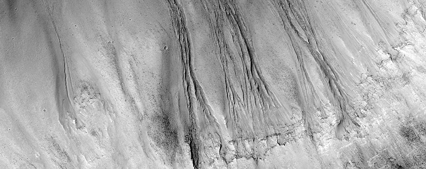
Today's Image of Mars is of gullies on the wall of Dao Vallis, just upstream of its merge with Niger Vallis. The gullies that flow into Dao Vallis begin just below the top of the valley and erode through the upper rock layers. The material that once filled the valley was likely ice rich and melted through the upper layers of rock, much like slow moving glacial material on Earth. 

Dao Vallis is an outflow channel that was most likely created by massive flooding caused by the catastrophic release of ground water. This likely occurred because of a rupture in an underground source of water, either from tectonic shifts in Mars' ancient past, or meteorite impacts. 

Clicking on this image will take you to the captioned image by HiRISE.


Mars Photo of the Day - Oct 15 2011

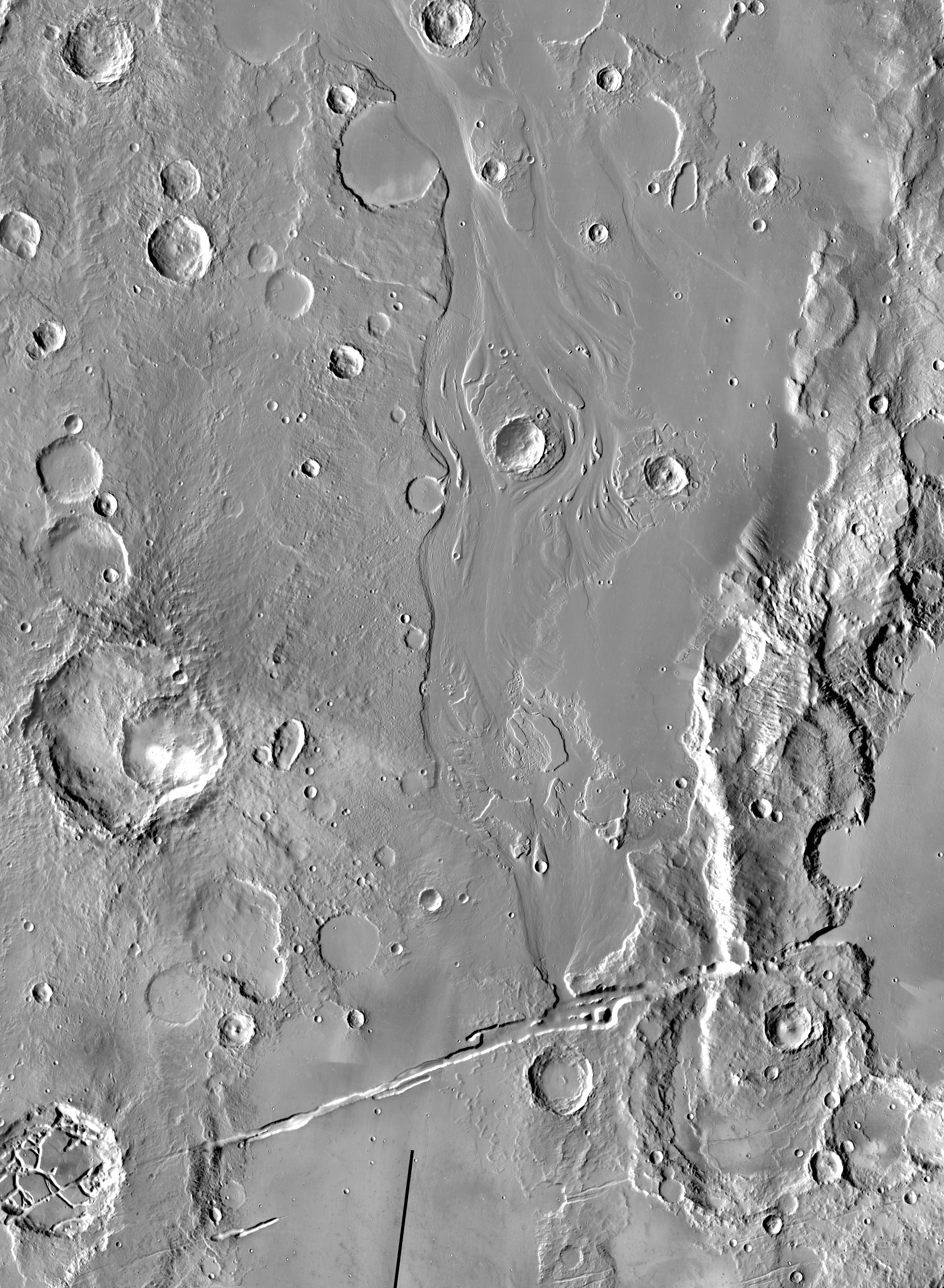
Today's Image of Mars is of Athabasca Valles, an outflow channel on Mars created by catastrophic flooding. The source of water for the flooding is most likely Cerberus Fossae, a series of fissures and scarps on the surface of Mars. 

It's difficult to tell how long ago the floods in Athabasca Valles occurred because they have almost entirely been covered by a lava flow the size of Oregon. This lava flow is considered the youngest discovered on Mars and is believed to have developed during the Amazonian Epoch, around 3 billion years ago.

This image links to the original captioned image from Mars Odyssey Orbiter's Thermal Emission Imaging System (THEMIS).


Mars Photo of the Day - Oct 14 2011

Today's Image of Mars shows what is possibly the newest part of Cerberus Fossae. And what exactly is Cerberus Fossae? 

Cerberus Fossae is a series of roughly parallel fissures created by faults which pulled the Martian crust apart in the Cerberus region, which is located at around 9°N, 197°W. These faults are the result of the formation of the Elysium Volcanic Field. They pass through preexisting features, like hills, which indicates that the faults are relatively recent.

Research suggests that the formation of these fossae released massive amounts of pressurized underground water, which led to the creation of Athabasca Valles, a large outflow channel on Mars.

Clicking on this photo of Mars will take you to the original HiRISE image, but they have yet to provide a caption.


Mars Photo of the Day - Oct 12 2011

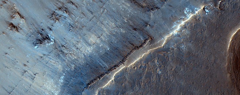
Today's Image of Mars gives us a glimpse of a possible source for the outflow channels that have so drastically shaped the surface of Mars.  The large depression in the ground is likely where millions of tons of ground water erupted onto the surface of Mars. This generally occurs due to a rupture of the surface, usually the result of a meteorite impact or past tectonic activity on the planet. 

This particular scarp is located in Aurorae Chaos, which is 750 km in diameter and located at the eastern end of Valles Marineris. Aurorae Chaos is the largest discovered area on Mars of chaos terrain, or terrain where cracks, ridges, and plains appear jumbled together in a random and chaotic manner. 

This image links to the original captioned image from HiRISE.