Google+ Mars Travel: erosion on Mars
Showing posts with label erosion on Mars. Show all posts

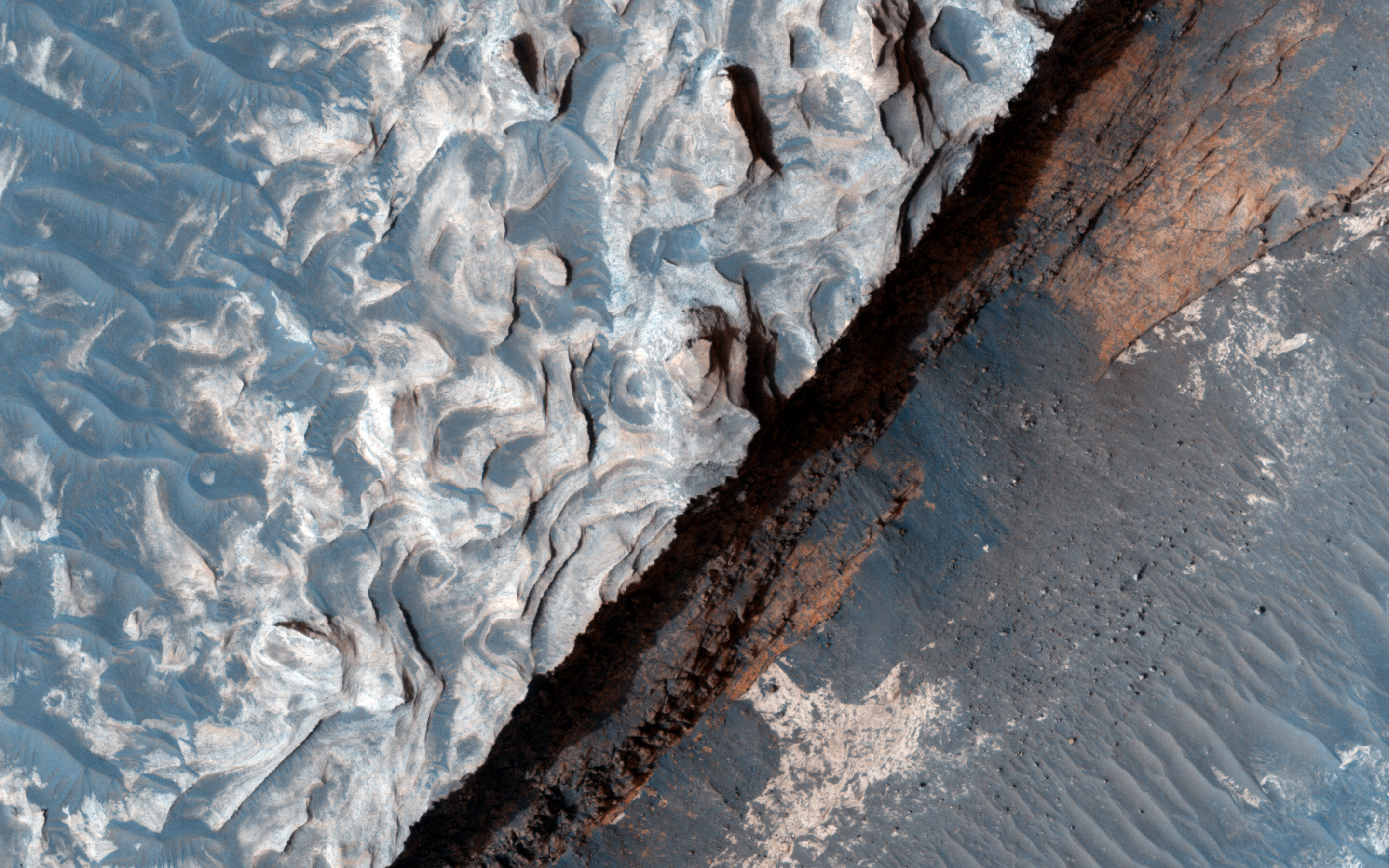
Examining Images of Aureum Chaos for Change

The primary source of erosion on Mars today is the wind. Scientists try to learn more about the wind and the changes it makes to the surface by studying images of Mars. To find these changes we often have to examine two pictures from a location taken at different times. This is true of the below photos taken of Aureum Chaos.

Acquired two Mars years ago. Source: HiRISE

Source: HiRISE

Although the above images are not exact overlays of one another, one can still pinpoint areas present in both images. Once done scientists can determine if there have been any changes or movements to material in the area. Although a preliminary look shows no changes in the past two years, a more fine-tuned examination will likely reveal minor changes.

Studying changes to the terrain allows scientists to assess the real affect of the wind on the environment. Knowing this will help us to know what we might see on the ground and what to watch out for on future prolonged missions to the surface. Imagine if you are living on Mars and you wake up one day to see rocks moved and sand displaced you might be disconcerted, but if you know about the wind you won't worry as much. Understanding how much effect the wind has on the surface also ensures that scientists take frequent images of landing areas because they know what might be a smooth area one week could be rocky terrain the next.

Studying images like the ones above ensures scientists learn the most they can about the wind on Mars and its effects on the environment.
Mars Photo of the Day - 21 Jul 2012

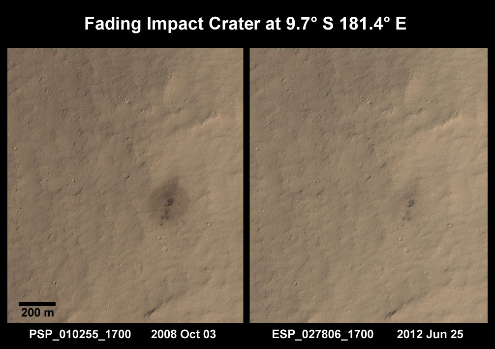
Today we'll take a look at two images of the same area taken a few years apart. Sometime between July 2005 and October 2008, a weak impactor broke up in the atmosphere of Mars and it's constituent parts hit the surface. Scientists know this because a THEMIS image from July 2005 of this area shows no indication that an impact had taken place, while a subsequent image taken by the Context Camera (CTX) aboard Mars Reconnaissance Orbiter in August 2008 showed the surface peppered with small impacts and a dark ejecta blanket. This led the HiRISE team to investigate the impact site in October 2008.
Clicking on this image will take you to the original HiRISE caption referencing this image.

In the first HiRISE image we can see the small impact sites and a dark ejecta blanket that seems to stem from the largest of the craters. In the subsequent image taken a few years later we see that the dark ejecta blanket has begun fading. This means that the wind either blew away the dark ejecta, or covered it with the surrounding lighter sediments.

Understanding this process and how long it takes is extremely important to future exploration of Mars. When we understand how fast erosion occurs on Mars we can infer how fast the wind is blowing and the amount of sediment that it picks up. Knowing this will help us to take the appropriate precautions that may end up saving lives and equipment. When we know how ferocious erosion will be we will be able to create barriers that can withstand that erosion.

Additionally, if we understand the rate at which erosion occurs we can ensure that we choose a more permanent features as navigational references once we do send a manned mission to Mars. This will ensure that people don't get lost or lose sight of their shelter because they expect to see a feature that has recently eroded away. Studying images like the two below will increase scientists understanding of the eroding elements on Mars, and help us to better prepare for the time when we do send a manned mission to Mars.

Mars Photo of the Day - Apr 2 2012

Today's Image of Mars comes from the High Resolution Stereo Camera (HRSC) aboard the Mars Express Orbiter and shows the Eumenides Dorsum mountains, which cover an area of 12,000 square kilometers. The mountains are to the west of the Tharsis Quadrangle and form part of the Medusa Fossae region, which scientists believe is covered by a blanket of volcanic ash. 

The region is full of features carved into layers of sedimentary rock by wind erosion. The smooth area in the center of this image is a result of that terrain being more resistant to erosion than the surrounding area. This indicates that the surface of that area is made up of volcanic rock, as opposed to more easily eroded sedimentary rock. 

Clicking on this image will take you to the original high resolution image from Mars Express. [See their article on the Eumenides Dorsum mountains]


Mars Photo of the Day - Jan 18 2012

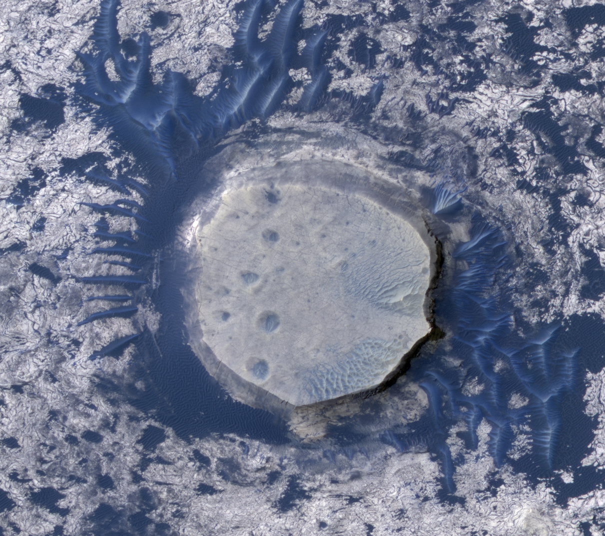
Today's Image of Mars is of an inverted crater surrounded by dark dunes in Arabia Terra. The dark dunes surrounding the inverted crater are comprised of basalt, a black igneous (volcanic) rock commonly found on Mars.

Inverted craters are formed in much the same way that inverted riverbeds are created. Sediment becomes deposited in the crater and packed down, usually in the presence of water. This make the material much denser and more wear-resistant than the surrounding terrain. Over the course of millions and billions of years wind erosion ended up wearing down the surrounding terrain, but since the sediment packed into this crater was more resistant, less of it was eroded. This created the inverted look that we see in the image below.

Clicking on this image will take you to a captioned HiRISE image that provides context for this inverted crater.


Mars Photo of the Day - Dec 28 2011

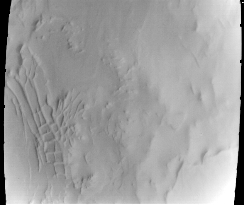
Today's Image of Mars shows Inca City, a set of intersecting ridges forming rectangular shapes in the South Polar Region of Mars. These ridges are part of a larger circular structure that is approximately 86km in diameter. While conspiracy theorists might believe this really was a city, scientists have more plausible, scientific explanations for why how these formations came to be.

Inca City was likely formed when an ancient impact crater was filled in and covered, only to later become exhumed. Cracks that existed in the crater were filled in with the rest of it and what we see here could be those reexposed fractures. This could happen if the material that covered the crater was less wear-resistant than the underlying surface. This is the exact opposite of how an inverted riverbed forms. While these explanations seem likely, scientists are not certain what created the features you see below.

This image was taken by Mariner 9 in 1972. Clicking on the image will take you to the Mars Global Surveyor Page for the image.

Mars Photo of the Day - Oct 31 2011

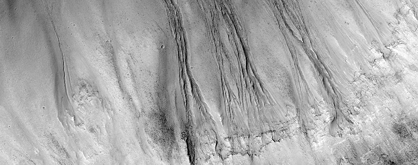
Today's Image of Mars is of gullies on the wall of Dao Vallis, just upstream of its merge with Niger Vallis. The gullies that flow into Dao Vallis begin just below the top of the valley and erode through the upper rock layers. The material that once filled the valley was likely ice rich and melted through the upper layers of rock, much like slow moving glacial material on Earth. 

Dao Vallis is an outflow channel that was most likely created by massive flooding caused by the catastrophic release of ground water. This likely occurred because of a rupture in an underground source of water, either from tectonic shifts in Mars' ancient past, or meteorite impacts. 

Clicking on this image will take you to the captioned image by HiRISE.


Mars Photo of the Day - Oct 7 2011

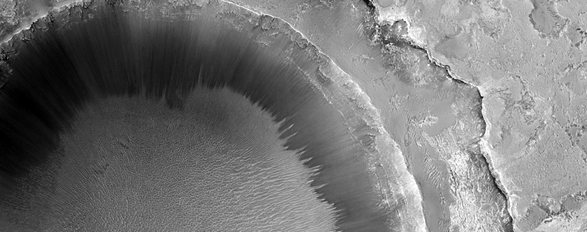
Today's Image of Mars is of an unnamed crater with a 'bench' surrounding it located in Sinus Meridiani. The 'bench' is formed because the surface layers are more easily eroded than the older underlying materials that make up the rest of the crater.

This photo links to the original captioned image by HiRISE.