Google+ Mars Travel: Cerberus Fossae
Showing posts with label Cerberus Fossae. Show all posts

Mars Photo of the Day - May 21 2012

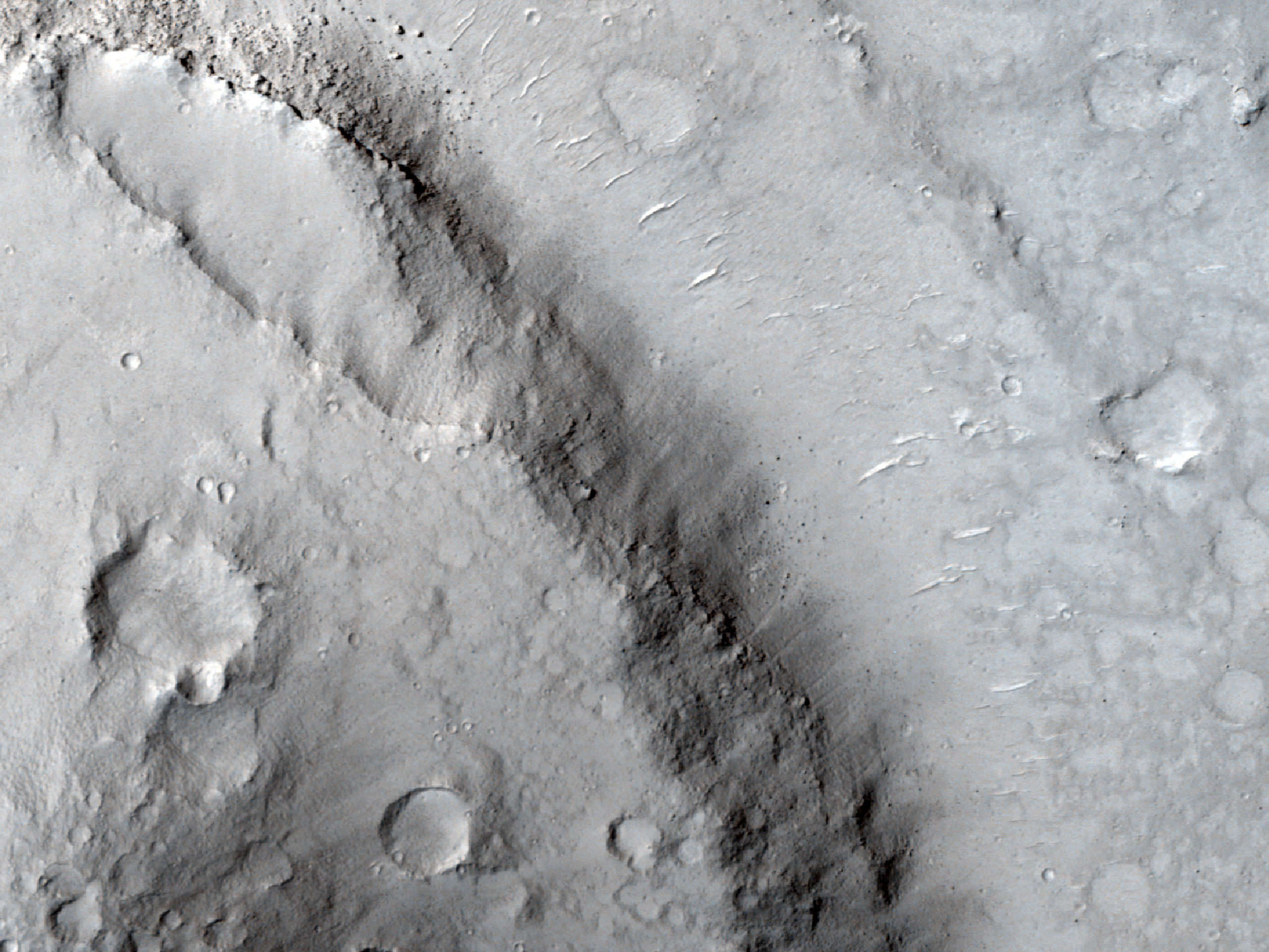
Today's Image of Mars shows streamlined features in Cerberus Fossae, as taken by HiRISE. These are indicative that water once flowed across the surface of Mars and eroded islands into what we see below, most particularly at the upper left of the image. Just imagine a huge wall of water washing over an island. Now imagine this happening constantly. It's going to flatten that island out, smashing it in the direction of the water flow. That's what happened in the image below.

These features also exist on Mercury and the Moon, where they were formed by lava, but scientists believe the case is different on Mars. They believe that on Mars these streamlined features were created by flowing water, which then evaporated or went underground. These streamlined features occur in areas where scientists believe large channels of water existed. In almost all instances the features have a layer of lava overlying them, which lends credence to the theory that the features were eroded by water, and covered by subsequent lava flows.

Observations like the one below will help scientists to prove their hypothesis that lava covered the features eroded by water. Click on the image to see the original high resolution image from HiRISE. [See their original caption]
Mars Photo of the Day - May 3 2012

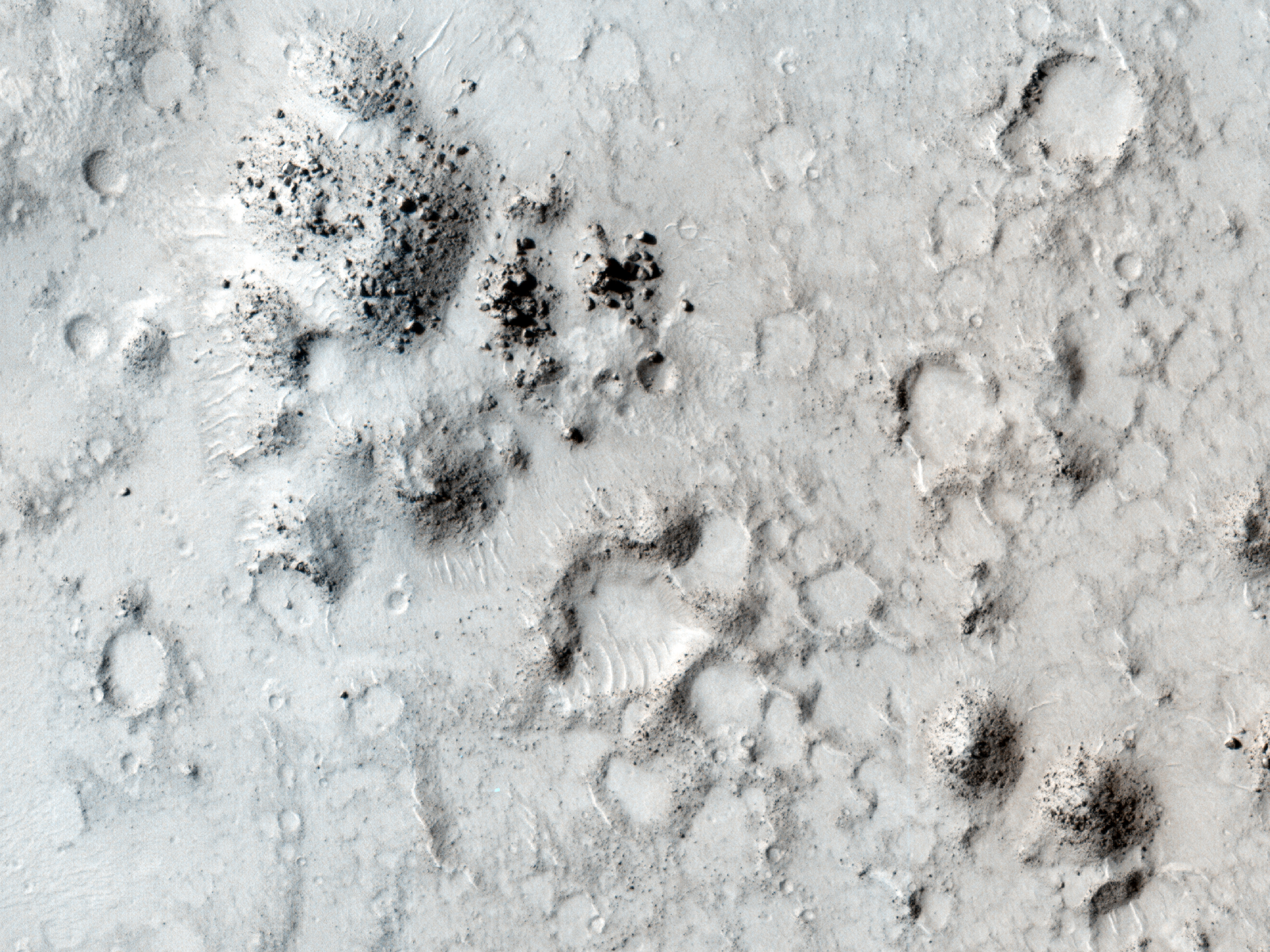
Today's Image of Mars shows ancient hills in Phlegra Dorsa surrounded, and sometimes overwhelmed by flows that came out of Cerberus Fossae. The flows were made up of mud or lava flows, and maybe a combination of both.

Flow after flow came out of the fracture in Mars called Cerberus Fossae, each one building on the previous, until eventually some of the flows got high enough that they covered portions of the ancient hills. Should we send a rover down to the area surrounding these hills we could gain valuable insight about the contents of these flows and the time during which they were released from Cerberus Fossae. If we understand these two things we might be able to determine what triggered the cataclysmic releases, which could help us to understand if something similar could happen on present-day Mars.

Clicking on this image will take you to the original high resolution image from HiRISE. [See their caption for the image]


Mars Photo of the Day - Apr 12 2012

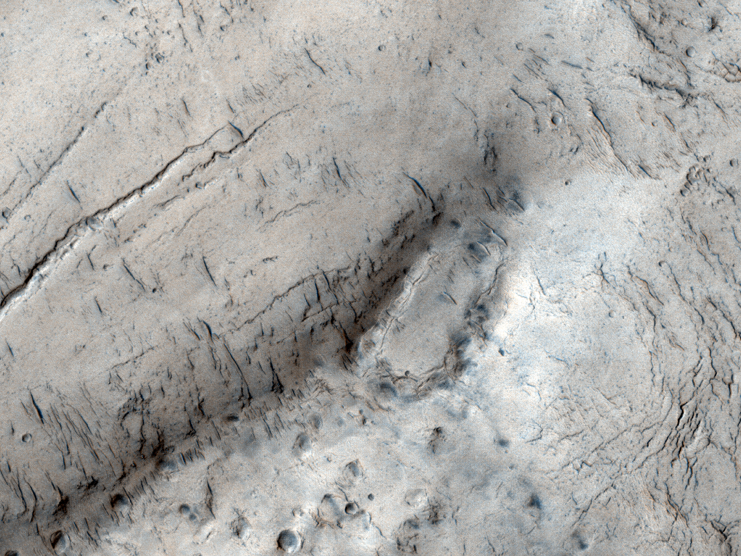
Today's Image of Mars was taken by HiRISE in order to examine the topography of an area in Cerberus Fossae that is thought to be the source of liquid that flooded the surface long ago. Scientists have long speculated that the water erupted from a ruptured underground reservoir and flooded the area, but recently some scientists have speculated that the channels and other features associated with a flood could have been created by lava, and not water at all.

Click the image to see the original hi-res image from HiRISE
[See the original HiRISE caption]

The reason for this newfound speculation is that over top of the features carved by the flood lies a layer of lava. This leads some people to wonder if there was any water involved at all, since a flood of lava could have created similar features. 

The problem for scientists comes with proving either theory because the lava layer that coats all the features hinders our orbital intruments from determining what lies beneath. If underneath the layer of lava are sedimentary layers that would imply that water was involved, which deposited and compacted the sediments. However, if there are no sedimentary deposits then the "no water" theory would be given some credence since most large quantities of flowing water leave sedimentary evidence behind.

My vote goes for the terrain being carved by a flood of water, which retreated back under the surface or evaporated when the climate changed on Mars. The area then likely experienced volcanic activity and was covered by a large lava flow. But anything is possible, so its important to keep an open mind!

See All Mars Photo of the Day Posts!

Mars Photo of the Day - Jan 23 2012

Today's Image of Mars shows a portion of Cerberus Fossae, a series of roughly parallel fissures in the Cerberus Region measuring 1,630km long. Cerberus Fossae was formed from faults created by the formation of the Elysium Volcanic Field. It passed through preexisting features, like hills, which indicates that the faults are relatively recent.

Research suggests that the formation of Cerberus Fossae released massive amounts of pressurized underground water, which led to the creation of Athabasca Valles, a large outflow channel on Mars.

Clicking this image will take you to the original high resolution image from Mars Odyssey Orbiter's THEMIS. [See the original THEMIS caption]


Mars Photo of the Day - Jan 4 2012

Today's Image of Mars shows a small floral-shaped volcano in Cerberus Fossae.You can see the flows because they are darker than the surrounding terrain and radiate away from the opening, forming a flower shape. The volcano lies at the flank of a larger one of the Cerberus Tholi.

To the right you can see this volcanoes only vent. You will also notice that there are a few small crater superimposed over the lava flows, which indicates that this feature is "not entirely young." (HiRISE)

Cerberus Fossae is a series of roughly parallel fissures created by faults which pulled the Martian crust apart in the Cerberus region, which is located at around 9°N, 197°W. These faults are the result of the formation of the Elysium Volcanic Field. They pass through preexisting features, like hills, which indicates that the faults are relatively recent.

Clicking on this image will take you to a captioned sub-image of this from HiRISE.