Google+ Mars Travel: Ice sublimation
Showing posts with label Ice sublimation. Show all posts

Mars Photo of the Day - May 29 2012

Today's Image of Mars shows craters that have expanded due to the high impact temperatures sublimating the surrounding icy terrain. As you can see there are craters surrounded by wider, shallower depressions. These depressions surrounding the impact craters formed when the heat from impact made the carbon dioxide ice surrounding it turn directly into water vapor.

The depressions are elongated in the direction the meteorite struck because the impact created heated material that projected itself forward, which sublimated the ice in that direction. Imagine throwing a golf ball into a bowl of ice cream. If the ball comes in at an angle some of the ice cream will be uplifted and thrown forward, on top of other pudding. When this happens at a high enough velocity the friction between the surface of Mars and the impacting meteorite heats up the terrain it touches and launches it forward. The heat was enough that it sublimated the carbon dioxide ice and created the depression that you see oriented in the direction of the impact.

Clicking on this image will take you to the original high resolution image from HiRISE. [See their original caption for the image]


Mars Photo of the Day - Mar 29 2012

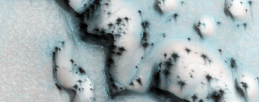
Today's Image of Mars shows the North Polar Region in late spring, as taken by HiRISE. Earlier in the year the ground was covered in ice, but now most of it has sublimated. The ice that remains is located in areas shadowed from the sun or in places where the ice built up and will take longer to sublimate. The easiest way to imagine those is by thinking of snow drifts on Earth, which may survive for weeks after all the other snow has disappeared.

Clicking on this image will take you to the original captioned and larger image from HiRISE.


Mars Photo of the Day - Feb 24 2012

Today's Image of Mars shows scallops (pits open on one side) and boulders in Utopia Planitia. The 3D high resolution anaglyph shows polygon features that develop as a result of temperature changes that cause ice contraction and expansion.

There are also numerous boulders that measure approximately 1 meter in diameter. Scientists know they are boulders and not ice because ice cannot remain stable on the Martian surface.

It is speculated that at least ten meters of ice has sublimated from some places in this image, which has created the pits and other features we see in this image. But how did the ice get there in the first place? Mars once had a wetter, warmer environment, but over billions of years Mars became much colder and the water that once covered the surface froze or retreated underground.

Clicking on this image will take you to the original captioned image from HiRISE.


Mars Photo of the Day - Feb 23 2012

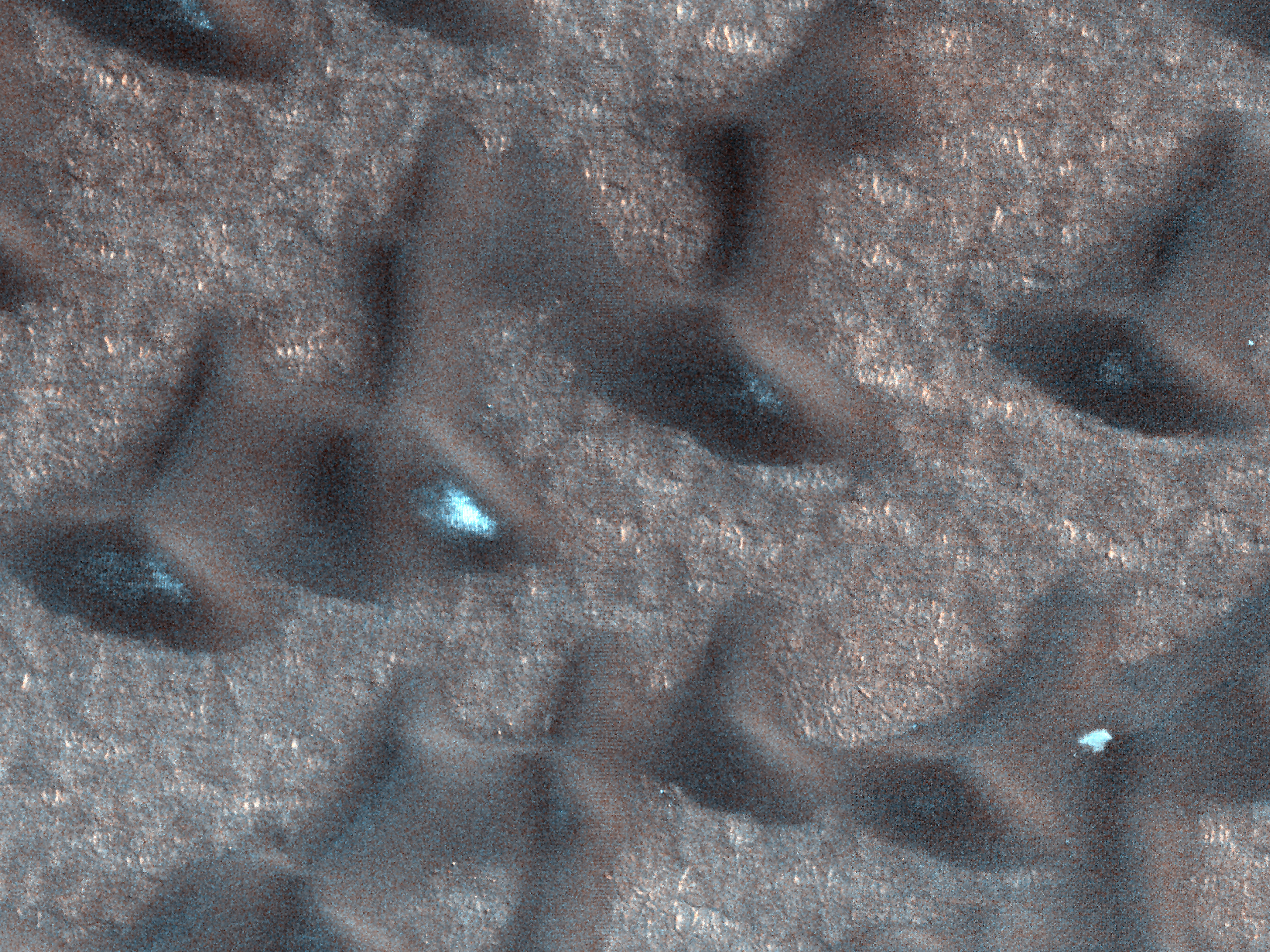
Today's Image of Mars shows some defrosting barchan dunes in the North Polar Region of Mars. Dunes like these are useful in determining the direction of the wind because the side facing the wind becomes more eroded, resulting in a sheer, less rounded face. The wind also creates horn-like features oriented in the oriented in the direction the wind predominantly blows.

This image was taken by HIRISE in the northern spring season on Mars, when the carbon dioxide ice has begun to sublimate.The dunes look speckled because the ice has sublimated in patches, revealing the dark soil underneath. The ice on the floor between the dunes has not begun sublimating because the sand underneath is not as dark as the dunes and so it takes longer to heat up.

Clicking on this image will take you to the original captioned image from HiRISE!


Mars Photo of the Day - Jan 28 2012

Today's Image of Mars is shows Dodo-Goldilocks, a 22x35cm trench dug by the Mars Phoenix Lander, which, at its deepest reaches a depth between 7 and 8cm. The trench was dug using Phoenix's robotic arm on Sol 18 of its mission, which was June 12 2008, and this image was taken 6 Sol later on June 19 2008.

The white material that you see is ice. The ice lumps on the bottom left of the trench sublimated (turned from solid to gas) over the course of the next four days. [See the trench a few days later]

Clicking on this image will take you to the NASA page that shows the trench before and after the ice sublimated.
Source: NASA/JPL-Caltech/University of Arizona/Texas A&M University

Mars Photo of the Day - Jan 11 2012

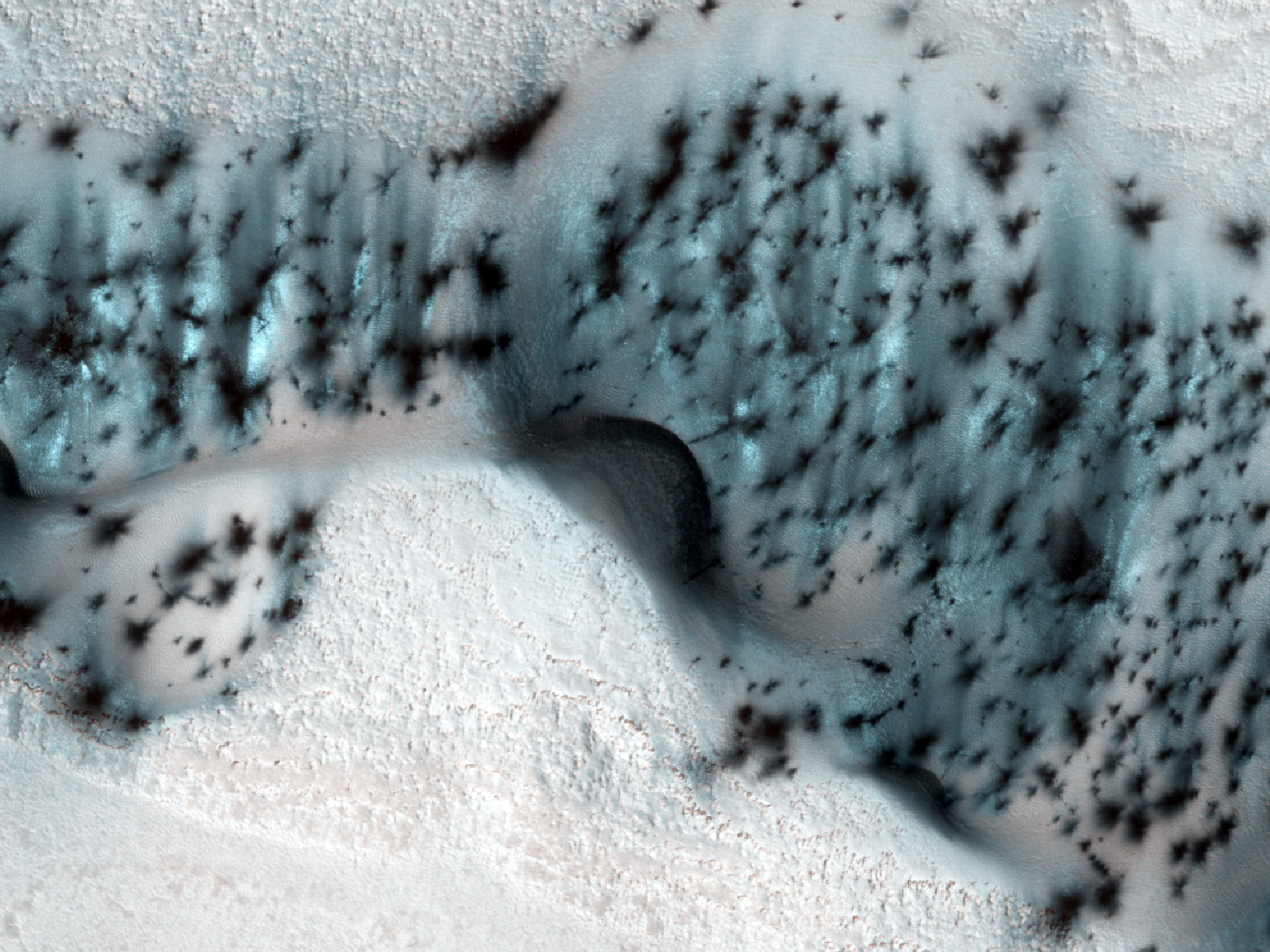
Today's Image of Mars shows the Martian equivalent of terrestrial barchan dunes, which are usually crescent shaped and formed by winds blowing in one uniform direction. These dunes are located in the North Polar region of Mars.

Dunes like these are useful in determining the direction of the wind in this region of Mars because the side facing the wind becomes more eroded, resulting in a sheer, less rounded face. The wind also creates horn-like features oriented in the direction the wind predominantly blows. 

In this image the carbon dioxide ice on the dunes is just beginning to sublimate, revealing the dark basaltic sand underneath. The north polar Martian winter is just ending so most of the ground is still covered in the carbon dioxide ice, but by the time summer arrives it will have fully thawed, leaving the ground as dark as the patches in this image.

Clicking on this image will take you to the original, captioned HiRISE image.


Mars Photo of the Day - Dec 30 2011

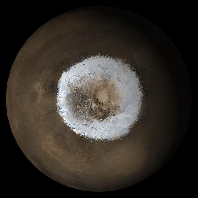
Today's Image of Mars show the South polar cap in early Spring as taken in May 2005. This image is a mosaic of images taken by the Mars Global Surveyor. A lot of this ice is carbon dioxide ice, but with an underlying layer of water ice. By this time the carbon dioxide ice has likely begun sublimating, since the temperatures have begun rising and carbon dioxide ice begins sublimating at temperatures greater than -78.5°C (197.5 K, −104.2 °F).

Clicking on this image will take you to the original Mars Global Surveyor gallery where this image is located.

Source: NASA/JPL/Malin Space Science Systems

Mars Photo of the Day - Dec 25 2011

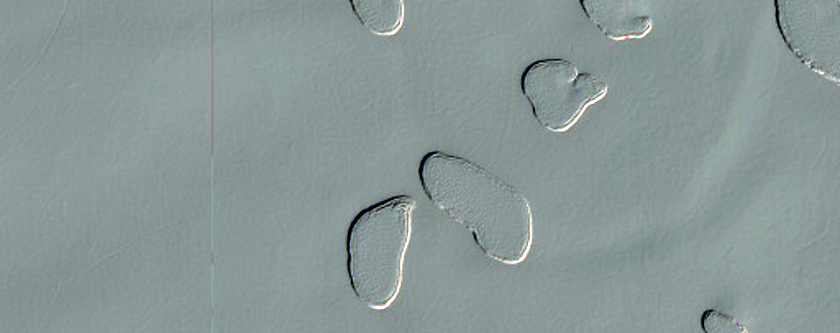
Today's Image of Mars shows 'swiss cheese' terrain in the South Polar residual caps on Mars. Just like on Earth, Mars has water ice at its poles, but because Mars is much colder carbon dioxide ice is deposited during the winter and sublimates when the climate gets warmer come Spring. This is similar to water ice snow on Earth which typically appears during the winter season and melts during the Spring. 

In this image the carbon dioxide ice has already begun sublimating, but only in patches, thus the 'swiss cheese' like terrain. The reason why the exposed terrain is so flat is likely due to a layer of water ice that exists under the carbon dioxide ice. Because water ice has a higher freezing point than carbon dioxide ice it remains solid when the temperatures increase in the spring.

Today is Christmas for those that take part, so here is to hoping that your Christmas is as white as this image on Mars!

Clicking on this image will take you to the original, captioned HiRISE image.


If you like the HiRISE images showcased in the Mars Photo of the Day posts I encourage you to enter for a free 2012 HiRISE Calendar