Google+ Mars Travel: Utopia Planitia
Showing posts with label Utopia Planitia. Show all posts

Mars Photo of the Day - Apr 16 2012

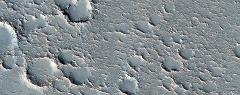
Today's Image of Mars comes from HiRISE and shows a potential future landing site in Utopia Planitia for future missions to Mars. This area is thought to have once held a giant lake, the water from which seems to have at least partially retreated underground. It was once among the top candidate destinations for the Mars Science Laboratory, but lost out to Mount Sharp in Gale Crater.

Recent imaging with gamma-ray and neutron spectrometers on Mars Odyssey has revealed that an abundance of hydrogen molecules lie just one or two meters below the surface, which is indicative of water being right below the surface! You can bet that Utopia Panitia will remain on the list of potential landing sites for future missions to Mars!

Clicking on this image will take you to other potential future landing sites showcased by Mars Travel, since the original HiRISE image isn't much larger and has no caption as of yet.

Mars Photo of the Day - Mar 20 2012

Today's Image of Mars shows frost in Utopia Planitia, as taken by the southwest facing Viking 2 lander on May 18 1979, approximately one Martian year (687 days) after the lander first imaged frost at the same spot. This thin layer of water-ice frost on Mars is thought to be only a couple thousandth's of a centimeter thick.

But how did the water-ice frost form? Scientists believe that dust particles throughout the Martian atmosphere pick up water particles , then when it gets cold enough for carbon dioxide to solidify some of it attaches to the dust and falls onto the surface.


Mars Photo of the Day - Mar 17 2012

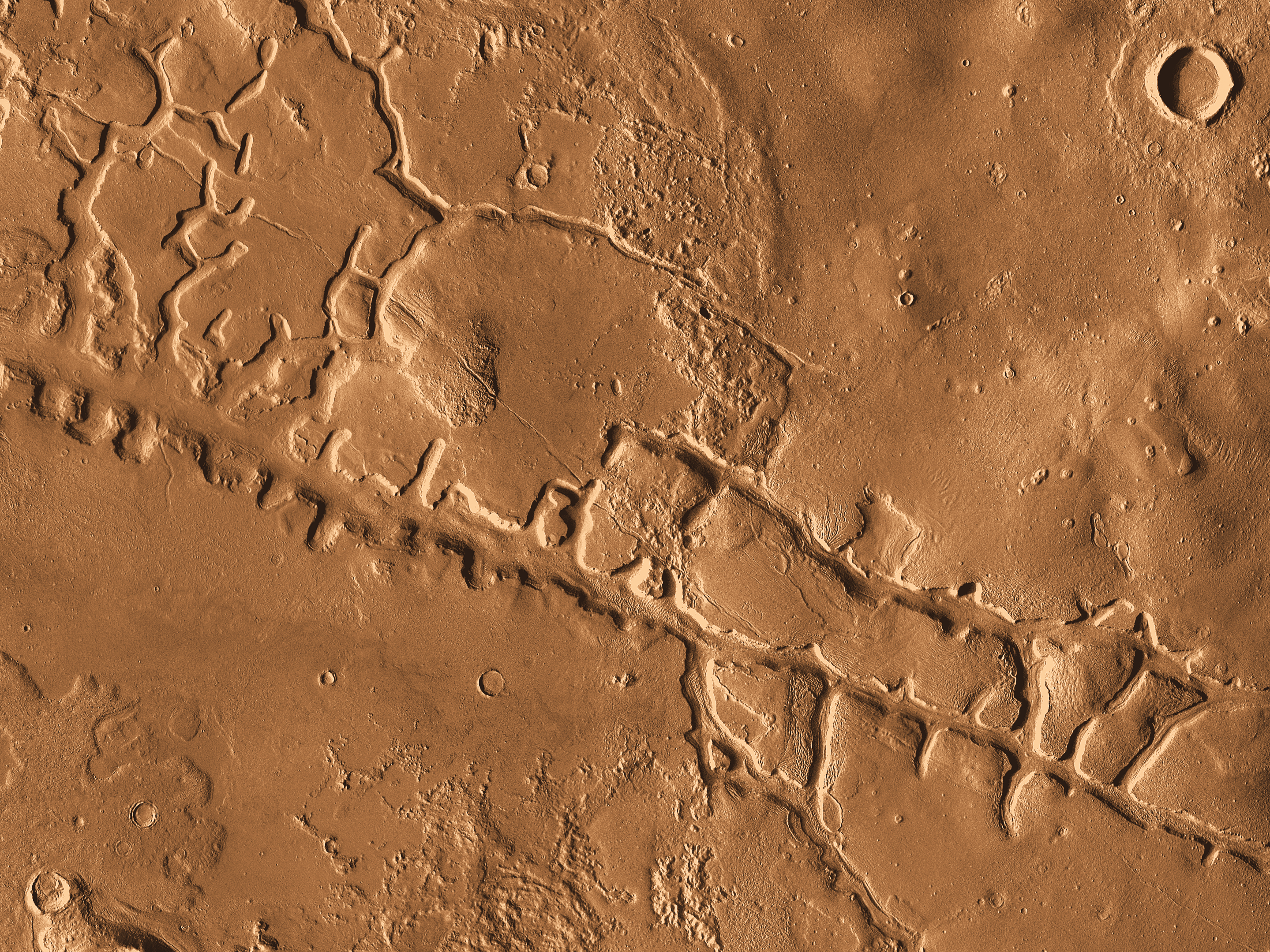
Today's Image of Mars was taken by Mars Odyssey Orbiter's THEMIS and shows Galaxias Fossae, a 400km long fault cutting through Utopia Planitia. It is thought that Galaxias Fossae was created by lava that forced its way into a small vertical crack in the crust and expanded it. 

Galaxias Fossae - Clicking on this image will take you to the high resolution version from THEMIS. [Read their article]
The fault that originated Galaxias Fossae was likely created by the growth of the Elysium Volcanoes. Into that underground fault a small ribbon of molten rock forced it's way through, making the fault wider and bringing hot rock closer to the surface. That hot rock then encountered ground that was saturated with water and ice. The hot rock caused the ice to melt, which made the ground collapse.

Mars Photo of the Day - Feb 24 2012

Today's Image of Mars shows scallops (pits open on one side) and boulders in Utopia Planitia. The 3D high resolution anaglyph shows polygon features that develop as a result of temperature changes that cause ice contraction and expansion.

There are also numerous boulders that measure approximately 1 meter in diameter. Scientists know they are boulders and not ice because ice cannot remain stable on the Martian surface.

It is speculated that at least ten meters of ice has sublimated from some places in this image, which has created the pits and other features we see in this image. But how did the ice get there in the first place? Mars once had a wetter, warmer environment, but over billions of years Mars became much colder and the water that once covered the surface froze or retreated underground.

Clicking on this image will take you to the original captioned image from HiRISE.