Google+ Mars Travel: Southern Highlands of Mars
Showing posts with label Southern Highlands of Mars. Show all posts

Mars Photo of the Day - Feb 22 2012

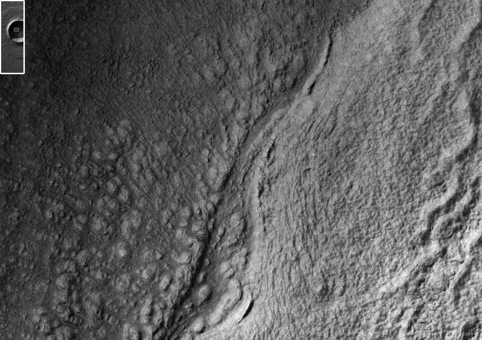
Today's Image of Mars was taken by HiRISE and shows part of an impact crater in Terra Cimmeria that is completely cast in shadow. Terra Cimmeria is located in the southern highland region of Mars. 

Much of the crater floor is cast in deep shadow because the sun was only 11 degrees over the horizon. The HiRISE cameras aboard the Mars Reconnaissance Orbiter are sensitive enough that they can see within most shadows. The image below shows an area completely shrouded in shadow, but HiRISE can still see features indicative of ice flow, a common finding in the southern highlands.

Clicking on this image will take you to the original image from HiRISE. [See their caption]

Mars Photo of the Day - Feb 20 2012

Today's Image of Mars comes from HiRISE and shows a potential landing site for a future missions to Mars in Holden Crater. Holden Crater is a 140km wide crater located in the southern highlands. It is believed that Uzboi Valles fed into Holden Crater and created a massive lake.

Currently, potential landing sites require at least a 12 mile wide circle of smooth, flat terrain so that the spacecraft can lend safely even within a margin of error.

Mars Reconnaissance Orbiter determined that Holden Crater contains numerous sediments and clays that could only have formed in the presence of water. The crater also has some of the best exposed lake deposits scientists have ever seen, making it a prime candidate for future missions to Mars.

Holden Crater made it into the top four candidate landing sites for Mars Science Laboratory Curiosity, but was ultimately beaten out by Gale Crater. We can be sure that Holden Crater will remain among the top candidates for future missions to Mars!

Clicking on this image will take you to other potential future landing sites showcased by Mars Travel!


Mars Photo of the Day - Dec 21 2011

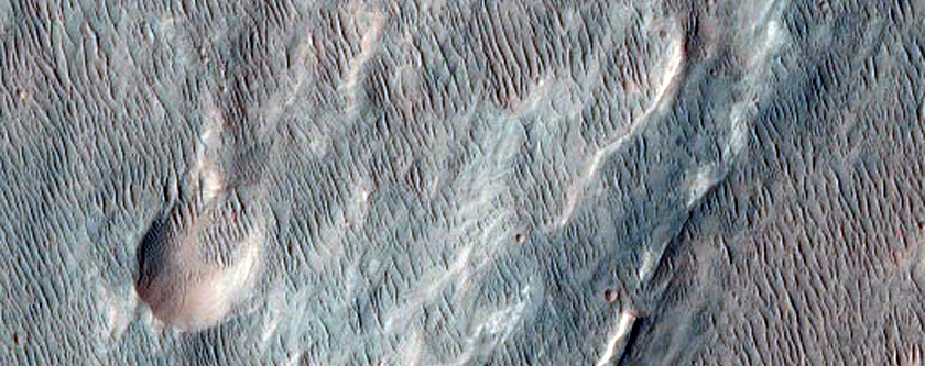
Today's Image of Mars shows part of a dune field found within Proctor Crater. Proctor Crater is approximately 150km in diameter and lies in the Southern Highlands of Mars.

The dark dunes seen in this image are made up of basaltic sand which has collected at the bottom of Proctor Crater. On top of these large dunes lie smaller secondary dunes consistent with terrestrial dunes of similar size.

In this image you can see that between the large, dark dunes lie smaller, brighter formations. It's been suggested that these are smaller dunes or granule ripples composed of material that is different from the larger dunes. The large, dark dunes overly the the smaller, brighter features, implying that they are a more recent addition to the crater.

Both the large and small features were formed through wind erosion. We can see in this image that the orientation of the smaller features was affected by the placement of the larger dunes.This is because wind must flow around the larger dunes.

HiRISE continues monitoring Proctor Crater to determine whether the dunes are still active today. Clicking on this image will take you to a similar, captioned HiRISE image of dunes in Proctor Crater.