Google+ Mars Travel: Antoniadi Crater
Showing posts with label Antoniadi Crater. Show all posts

Mars Photo of the Day - Apr 20 2012

Today's Image of Mars shows landside lobes in a crater on Mars, as taken by HiRISE aboard the Mars Reconnaissance Orbiter. The southwest side of the crater has at three landslide lobes.

Scientists have determined that the landslides occurred long after the formation of the crater because there are few overlying craters on the lobes than the rest of the surrounding surface. Scientists speculate that the landslides were created by tectonic activity either created by asteroid impacts or faulting in the crust.

Clicking on this will take you to the original captioned image from HiRISE.

Mars Photo of the Day - Feb 19 2012

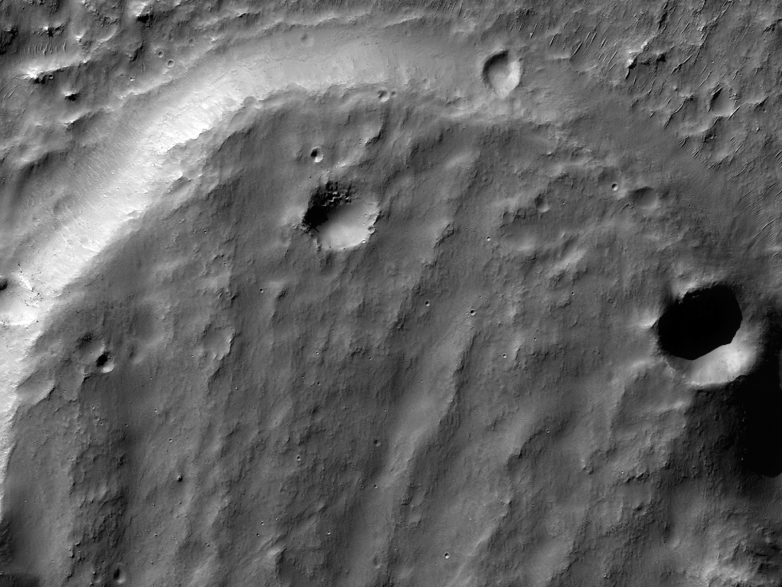
Today's Image of Mars comes from HiRISE and shows a possible future landing site in Antoniadi Crater, a 394km long crater on Syrtis Major Planum. It is evidenced that Antoniadi Crater once had rivers and lakes, as evidenced by the inverted features, like riverbeds.

Inverted features are formed when the sediment deposited by water is harder than the surrounding terrain. Over billions of years erosion wore down the surrounding terrain, but because the lake and riverbeds were more resistant to erosion they were reduced much less, thus creating inverted features.

The fact that there was once flowing water in Antoniadi Crater makes it a prime target for future missions to Mars. This particular patch shows a particular candidate landing site in the crater. It was chosen because it has been observed to have relatively flat terrain and is close to features of interest.

Clicking on this image will take you to other showcased images of potential landing sites for future missions to Mars because HiRISE has not yet provided a caption for this image. [EDIT 24 June 2012: HiRISE has added a caption.]